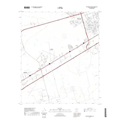
2019 Map of Southwest Midland
USGS Topo · Published 2019About this map
Midland International Air and Space Port anchors the central landscape of this West Texas corridor, situated between the expanding reach of Midland and the industrial activity near Warfield. The area's character is defined by a dense network of transit and logistics, where W Interstate Hwy 20 and W Industrial Ave facilitate movement across the Permian Basin. Local infrastructure is highly developed, featuring complex interchanges like N Loop 250 W and significant arterial roads such as Ranch Rd 1788. This late 2010s survey captures the urban sprawl approaching the small settlement of Bounce and the commercial extension along W Wall St. The layout illustrates the transformation of open land into a specialized hub for aviation and energy-related industry, providing a precise record of contemporary regional development.
Find a feature on this map
18 named features on this map. Tap any name to fly to it.
Don’t see what you’re looking for? This feature index may not catch every label — zoom into the map to look around manually.
Map Details
Editions of this 2019 Southwest Midland Map
This is the sole edition of this map. No revisions or reprints were ever made.
Other maps of this area

1954 · Hobbs
USGS Topo · 1:250,000

1954 · Pecos
USGS Topo · 1:250,000

1957 · Pecos
USGS Topo · 1:250,000

1958 · Hobbs
USGS Topo · 1:250,000

1964 · Bryant Ranch
USGS Topo · 1:24,000

1964 · Odessa NE
USGS Topo · 1:24,000

1964 · Odessa SE
USGS Topo · 1:24,000

1964 · Parks
USGS Topo · 1:24,000

1965 · Southeast Midland
USGS Topo · 1:24,000

1965 · Southwest Midland
USGS Topo · 1:24,000