Old Maps of Cut and Shoot, Texas for Genealogy
Trace your family roots with 17 historic maps of Cut and Shoot. These high-res maps reveal old neighborhoods, homesites, landmarks, and streets — helping you uncover where your ancestors lived and how the area evolved over time.
- Explore historic neighborhoods: Identify where your relatives may have lived in the 1800s or 1900s.
- Compare maps over time: Trace the changes in streets, buildings, and landmarks for multi-generational research.
- Perfect for genealogy & ancestry research: Used by family historians and researchers to map out lineage and migration.
These maps are an incredible resource for exploring your personal connection to Cut and Shoot's past.
Cut and Shoot, TX maps
(17)- 1954 Map of Beaumont, 1964 Print
 1954 Beaumont1964 Print · USGSSoutheast Texas in the mid-fifties reveals a landscape of massive national forests, emerging reservoirs, and a booming oil economy. Genealogists and researchers can trace rural settlements like Dallardsville and Village Mills or locate early drilling sites at Sour Lake Oil Field.3 unique versions available
 - 1957 Map of Beaumont
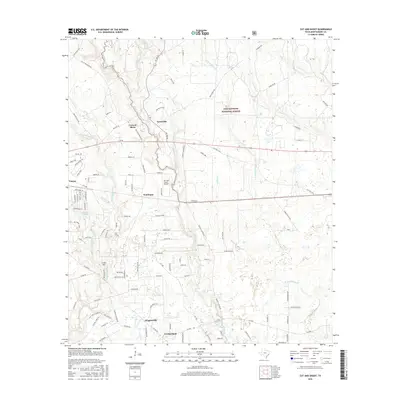
 1957 Beaumont1957 Print · USGSSoutheast Texas in the mid-fifties is defined by the timber-rich lands between the Trinity River and Beaumont. Trace the history of the Alabama and Coushatti Indian Reservation or locate early campus sites like Prairie View College.
 - 1958 Map of Conroe, 1959 Print
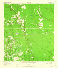
 1958 Conroe1959 Print · USGSConroe and the surrounding Montgomery County landscape are caught in a period of significant mid-century growth and industrial activity. Genealogists and historians can locate old landmarks like the Conroe Normal and Industrial College, Rosewood Cem, and the extensive Conroe Oil Field.5 unique versions available
 - 1959 Map of Cut and Shoot, 1960 Print
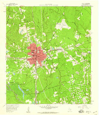
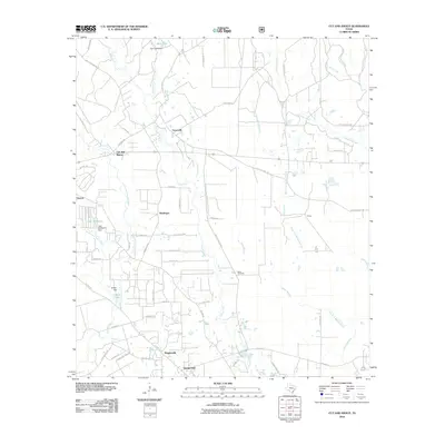
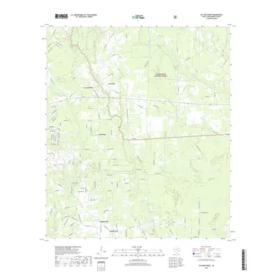
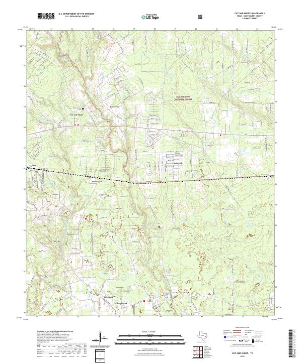
 1959 Cut and Shoot1960 Print · USGSIn the late fifties, Montgomery County was a landscape of deep timber and heavy industry as the oil patch expanded into the national forest. Researchers can trace rural church and school locations like New Bethlehem Ch and Austin Sch alongside the sprawling Conroe Oil Field.3 unique versions available
 - 1984 Map of Beaumont
 1984 Beaumont1984 Print · USGSSoutheast Texas in the late seventies and early eighties shows a landscape of expanding reservoirs and deep timber industry. Researchers can trace the development of the Sam Houston National Forest or locate regional landmarks like Grabbs Prairie and the Wynne State Prison Farm.3 unique versions available
 - 1985 Map of Conroe
 1985 Conroe1985 Print · USGSSoutheast Texas in the mid-eighties shows a landscape of timberlands and new lakeside developments. Researchers can trace the legacy of rail lines like the Southern Pacific RR or locate rural communities such as Plantersville, Yarboro, and Hufsmith.2 unique versions available
 - 1997 Map of Cut And Shoot, 2000 Print
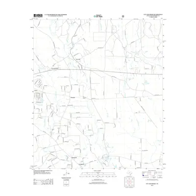
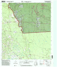 1997 Cut And Shoot2000 Print · USGSMontgomery County was a landscape of industry and forest in the late 1990s, defined by its timber and petroleum resources. Genealogists can trace early local landmarks like the New Bethlehem Church and Ben Milam School alongside the sprawling Conroe Oil Field.
 - 2010 Map of Conroe, 2010 Print
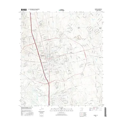
 2010 Conroe2010 Print · USGSCovers Cut and Shoot, including Conroe, Panorama Village, and other nearby areas
 - 2010 Map of Cut And Shoot, 2010 Print
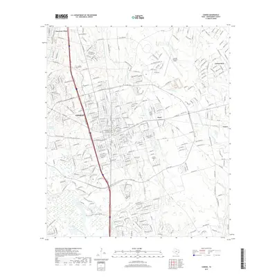
 2010 Cut And Shoot2010 Print · USGSCovers Cut and Shoot, including Groceville, Grangerland, and other nearby areas
 - 2013 Map of Cut And Shoot, 2013 Print
 2013 Cut And Shoot2013 Print · USGSCovers Cut and Shoot, including Groceville, Grangerland, and other nearby areas
 - 2013 Map of Conroe, 2013 Print
 2013 Conroe2013 Print · USGSCovers Cut and Shoot, including Conroe, Panorama Village, and other nearby areas
 - 2016 Map of Cut And Shoot, 2016 Print
 2016 Cut And Shoot2016 Print · USGSCovers Cut and Shoot, including Groceville, Grangerland, and other nearby areas
 - 2016 Map of Conroe, 2016 Print
 2016 Conroe2016 Print · USGSCovers Cut and Shoot, including Conroe, Panorama Village, and other nearby areas
 - 2019 Map of Conroe, 2019 Print
 2019 Conroe2019 Print · USGSCovers Cut and Shoot, including Conroe, Panorama Village, and other nearby areas
 - 2019 Map of Cut And Shoot, 2019 Print
 2019 Cut And Shoot2019 Print · USGSCovers Cut and Shoot, including Groceville, Grangerland, and other nearby areas
 - 2022 Map of Cut And Shoot, 2022 Print
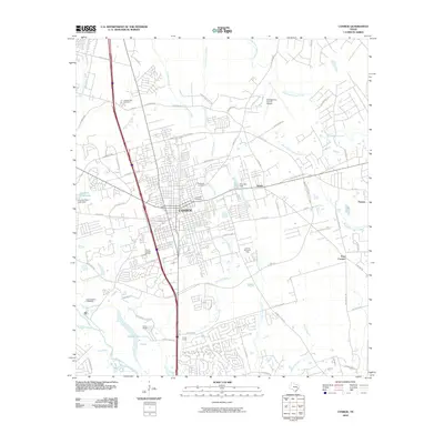
 2022 Cut And Shoot2022 Print · USGSMontgomery County’s piney woods and established settlements are documented here in the early twenty-first century. Genealogists can trace family connections at New Bethlehem Cem or Pilgreen Cem and locate rural communities like Groceville and Waukegan.
 - 2022 Map of Conroe, 2022 Print
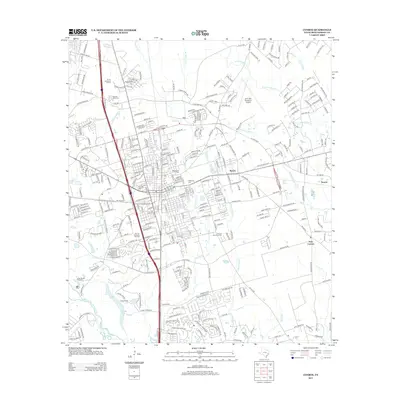
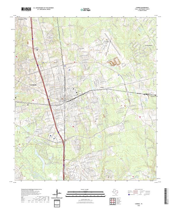 2022 Conroe2022 Print · USGSMontgomery County is shown in detail during the early 2020s, centered on the growing hub of Conroe. Genealogists can locate family sites at Oakwood Cem and Jones Cem or trace the civic center near the Montgomery County Courthouse.
End of results
Showing maps 1-17 of 17
Top cities near Cut and Shoot
- The Woodlands historical maps
- Conroe historical maps
- Tomball historical maps
- Cleveland historical maps
- Willis historical maps
- Oak Ridge North historical maps
See more
Top neighborhoods of Cut and Shoot
Frequently asked questions
- What are the different types of historical maps available for Cut and Shoot?
- What is the oldest map of Cut and Shoot?
- Where can I purchase historical maps of Cut and Shoot for my home or office?
- Where can I download high-res historical maps of Cut and Shoot?
- Are there historical topographic maps available for Cut and Shoot?
- Is there historical aerial imagery available for Cut and Shoot?
- Where are historical maps of Cut and Shoot sourced from?