Old Maps of Valley Ranch, Texas for Academic Research
Study the evolution of Valley Ranch with 34 high-resolution historic maps. Whether you're teaching, researching, or modeling changes in land use, these maps provide essential visual documentation of urban, environmental, and geographic change.
- Analyze long-term change: Track patterns in development, transportation, and natural features.
- Ideal for environmental or urban studies: Support academic projects with primary historical map data.
- Use in the classroom or lab: Educators and researchers rely on these maps to bring historical context to life.
These maps are a powerful tool for teaching, research, and visualizing how Valley Ranch has changed over the decades.
Valley Ranch, TX maps
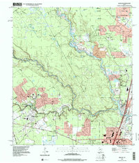
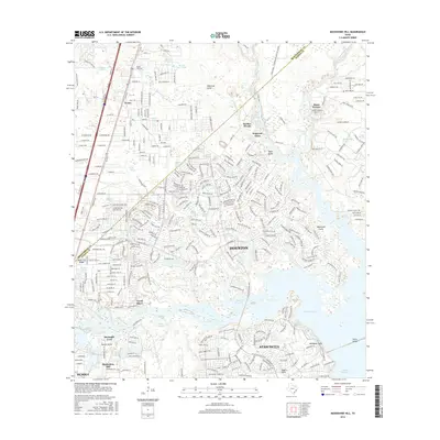
(34)- 1916 Map of Moonshine Hill
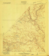 1916 Moonshine Hill1916 Print · USGSHarris and Montgomery counties appear here in the early twentieth century as a complex landscape of river forks and wetlands. Genealogists and historians can trace old property lines and natural landmarks like Odom Lake Swamp, Bosman Lake, and the H. E. and W. T. rail line.3 unique versions available
 - 1919 Map of Weeden
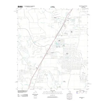
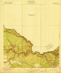 1919 Weeden1919 Print · USGSSoutheast Texas at the end of the Great War was a landscape of creek-fed bottomlands and emerging rail hubs. Trace the early layout of Humble and locate family landmarks like the Tullus Cemetery or the route of the Bender Tramroad.2 unique versions available
 - 1920 Map of Moonshine Hill
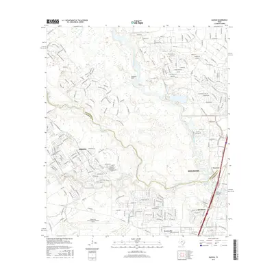
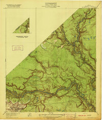 1920 Moonshine Hill1920 Print · USGSHarris County at the height of the 1920s oil boom reveals a landscape of river bends and early settlements. Trace the original footprints of Moonshine Hill and the Huffman School alongside the oxbows of Horseshoe Lake and Blue Lake.2 unique versions available
 - 1954 Map of Beaumont, 1964 Print
 1954 Beaumont1964 Print · USGSSoutheast Texas in the mid-fifties reveals a landscape of massive national forests, emerging reservoirs, and a booming oil economy. Genealogists and researchers can trace rural settlements like Dallardsville and Village Mills or locate early drilling sites at Sour Lake Oil Field.3 unique versions available
 - 1957 Map of Beaumont
 1957 Beaumont1957 Print · USGSSoutheast Texas in the mid-fifties is defined by the timber-rich lands between the Trinity River and Beaumont. Trace the history of the Alabama and Coushatti Indian Reservation or locate early campus sites like Prairie View College.
 - 1959 Map of Outlaw Pond, 1960 Print
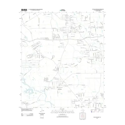
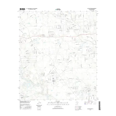
 1959 Outlaw Pond1960 Print · USGSSoutheast Texas at the end of the fifties reveals a landscape defined by petroleum and timber. Trace family ties at Mary Vick Cemetery or locate old community centers like Independent Church and the busy Conroe Oil Field.3 unique versions available
 - 1959 Map of Splendora, 1960 Print
 1959 Splendora1960 Print · USGSEast Texas oil production and railroad transit define the Splendora area in the late fifties. Genealogists and researchers can trace family landmarks and community hubs like Robinson Cem, Carver Sch, and the vanished tracks of the Old Grade Railroad.4 unique versions available
 - 1961 Map of Moonshine Hill, 1962 Print
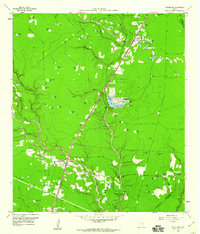
 1961 Moonshine Hill1962 Print · USGSHarris and Montgomery counties appear at a crossroads in the early sixties as oil production and suburban growth meet the San Jacinto riverfront. Researchers can trace family roots at White Oak Cem, locate the wells of Riverside Field, or find early subdivisions like Walden Woods.4 unique versions available
 - 1961 Map of Maedan, 1962 Print
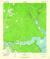
 1961 Maedan1962 Print · USGSThe Montgomery and Harris County borderlands come alive in this early 1960s survey, showing the confluence of river bottomlands and emerging rail-side communities. Trace the roots of Bordersville and Maedan or locate family markers at Enloe Cem and Tetter Cem.2 unique versions available
 - 1982 Map of Maedan
 1982 Maedan1982 Print · USGSSoutheast Texas in the early eighties shows a shifting landscape where sprawling river bottomlands meet growing residential communities. Genealogists and local historians can locate several family burial grounds like Enloe Cem, early schools including Teague Sch, and the rail-side community of Bordersville.
 - 1984 Map of Beaumont
 1984 Beaumont1984 Print · USGSSoutheast Texas in the late seventies and early eighties shows a landscape of expanding reservoirs and deep timber industry. Researchers can trace the development of the Sam Houston National Forest or locate regional landmarks like Grabbs Prairie and the Wynne State Prison Farm.3 unique versions available
 - 1985 Map of Conroe
 1985 Conroe1985 Print · USGSSoutheast Texas in the mid-eighties shows a landscape of timberlands and new lakeside developments. Researchers can trace the legacy of rail lines like the Southern Pacific RR or locate rural communities such as Plantersville, Yarboro, and Hufsmith.2 unique versions available
 - 1995 Map of Maedan, 1999 Print
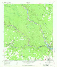
 1995 Maedan1999 Print · USGSSuburban expansion meets the river bottoms of the San Jacinto in the mid-nineties as new residential developments rise near the confluence of major creeks. Researchers can trace family sites at Enloe Cem or locate the community roots of Bordersville and Maedan.
 - 1995 Map of Moonshine Hill, 2000 Print
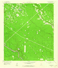
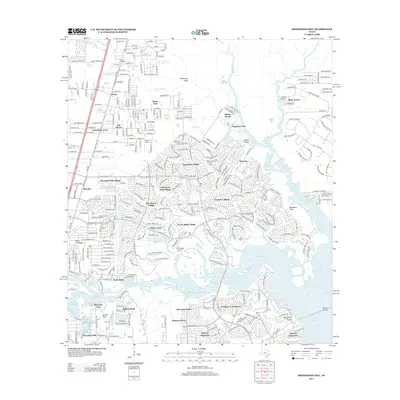
 1995 Moonshine Hill2000 Print · USGSGreater Houston and the San Jacinto forks are captured during a period of significant suburban expansion in the mid-nineties. Researchers can trace the development of Kingwood and Porter, or locate smaller features like Moonshine Hill, Pittsville, and Whiskey Still Pond.
 - 2010 Map of Outlaw Pond, 2010 Print
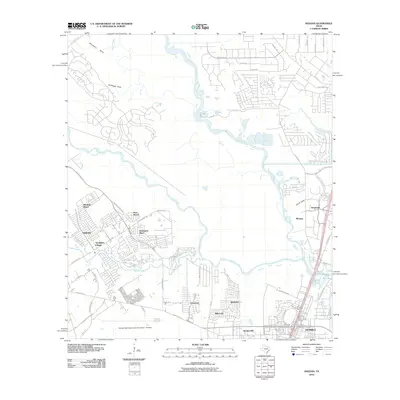
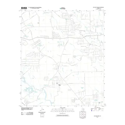 2010 Outlaw Pond2010 Print · USGSCovers Valley Ranch, including Porter Heights, Montgomery County, and other nearby areas
 - 2010 Map of Splendora, 2010 Print
 2010 Splendora2010 Print · USGSCovers Valley Ranch, including Roman Forest, Splendora, and other nearby areas
 - 2010 Map of Moonshine Hill, 2010 Print
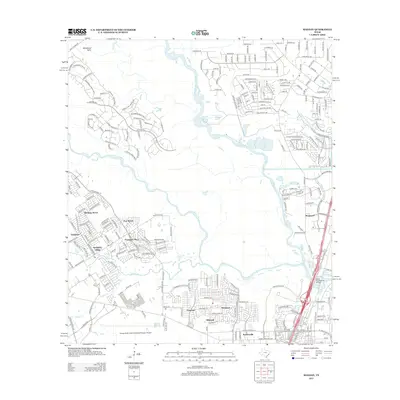
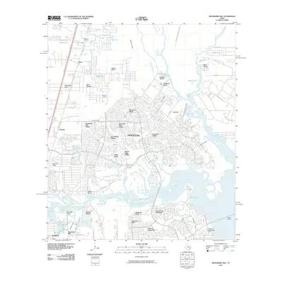 2010 Moonshine Hill2010 Print · USGSCovers Valley Ranch, including Houston, Kingwood, and other nearby areas
 - 2010 Map of Maedan, 2010 Print
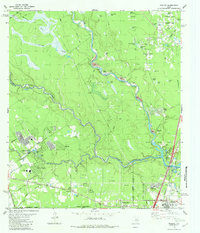
 2010 Maedan2010 Print · USGSCovers Valley Ranch, including Houston, Humble, and other nearby areas
 - 2013 Map of Moonshine Hill, 2013 Print
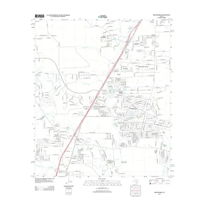
 2013 Moonshine Hill2013 Print · USGSCovers Valley Ranch, including Houston, Kingwood, and other nearby areas
 - 2013 Map of Splendora, 2013 Print
 2013 Splendora2013 Print · USGSCovers Valley Ranch, including Roman Forest, Splendora, and other nearby areas
 - 2013 Map of Outlaw Pond, 2013 Print
 2013 Outlaw Pond2013 Print · USGSCovers Valley Ranch, including Porter Heights, Montgomery County, and other nearby areas
 - 2013 Map of Maedan, 2013 Print
 2013 Maedan2013 Print · USGSCovers Valley Ranch, including Houston, Humble, and other nearby areas
 - 2016 Map of Outlaw Pond, 2016 Print
 2016 Outlaw Pond2016 Print · USGSCovers Valley Ranch, including Porter Heights, Montgomery County, and other nearby areas
 - 2016 Map of Maedan, 2016 Print
 2016 Maedan2016 Print · USGSCovers Valley Ranch, including Houston, Humble, and other nearby areas
 - 2016 Map of Moonshine Hill, 2016 Print
 2016 Moonshine Hill2016 Print · USGSCovers Valley Ranch, including Houston, Kingwood, and other nearby areas
Showing maps 1-25 of 34
Top cities near Valley Ranch
- Houston historical maps
- The Woodlands historical maps
- Conroe historical maps
- Atascocita historical maps
- Kingwood historical maps
- Spring historical maps
See more
Top neighborhoods of Valley Ranch
- Azalea District historical maps
- Forest Colony historical maps
- Valley Ranch historical maps
- Valley Ranch Town Center historical maps
Frequently asked questions
- What are the different types of historical maps available for Valley Ranch?
- What is the oldest map of Valley Ranch?
- Where can I purchase historical maps of Valley Ranch for my home or office?
- Where can I download high-res historical maps of Valley Ranch?
- Are there historical topographic maps available for Valley Ranch?
- Is there historical aerial imagery available for Valley Ranch?
- Where are historical maps of Valley Ranch sourced from?