Old Maps of Garrison, Texas for Metal Detecting
Plan your next treasure hunt with 19 historic maps of Garrison. Find old homesites, ghost towns, trails, and gathering spots that may be lost to time — perfect for identifying promising metal detecting locations.
- Locate forgotten sites: Uncover places like long-lost settlements, abandoned rail lines, or gathering spots.
- Plan better hunts: Use map overlays combined with LiDAR or satellite views to narrow in on historically rich areas.
- Made for detectorists: Thousands of hobbyists use these maps to discover relics, coins, and hidden history.
Use these historic maps to boost your research and find new opportunities beneath the surface of Garrison.
Garrison, TX maps
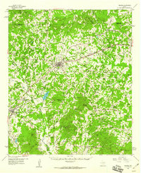
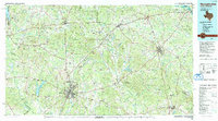
(19)- 1953 Map of Palestine, 1964 Print
 1953 Palestine1964 Print · USGSEast Texas was defined by its deep pine forests and burgeoning energy sector in the mid-1950s. Genealogists and historians can trace the rail-and-river economy through settlements like Tennessee Colony and Pollok or explore the early footprints of the Cayuga Oil Field and Davy Crockett National Forest.2 unique versions available
 - 1957 Map of Palestine
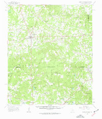
 1957 Palestine1957 Print · USGSEast Texas in the mid-fifties reveals a landscape of deep pine forests and winding river valleys before the era of massive reservoir construction. Researchers can trace the legacy of the timber and rail industries through labels for the Missouri Pacific RR, Davy Crockett National Forest, and Nacogdoches.
 - 1958 Map of Timpson, 1959 Print
 1958 Timpson1959 Print · USGSShelby and Nacogdoches counties appear here during the late fifties, defined by a landscape of small timber-and-oil settlements and diverging rail lines. Genealogists can locate family landmarks such as Todd Spring Ch, Huber Sch, and Lake Timpson.2 unique versions available
 - 1960 Map of Mount Enterprise, 1962 Print
 1960 Mount Enterprise1962 Print · USGSMount Enterprise and the surrounding Piney Woods of East Texas are captured here at the dawn of the 1960s. Genealogists and historians can trace family locations through numerous rural landmarks like Isabell Chapel, Caledonia, and the Helpenstell Cemetery.2 unique versions available
 - 1984 Map of Palestine
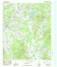
 1984 Palestine1984 Print · USGSEast Texas in the mid-eighties reveals a landscape of massive reservoirs and protected timberlands between Palestine and Nacogdoches. Researchers can trace old routes like the Missouri Pacific RR and locate rural communities such as Tennessee Colony, Latexo, and Etoile.3 unique versions available
 - 1984 Map of Garrison East, 1985 Print
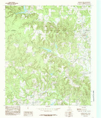
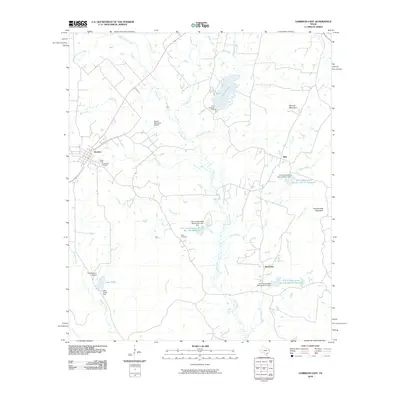
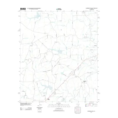
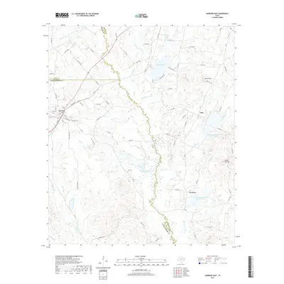
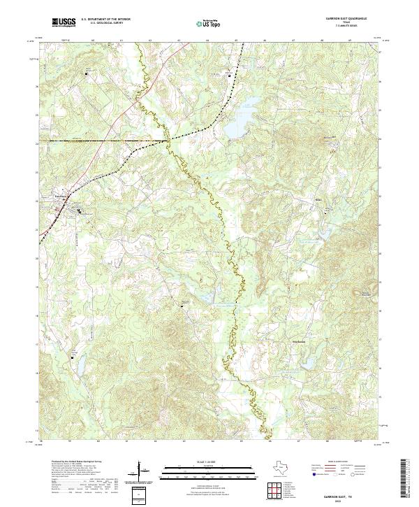
 1984 Garrison East1985 Print · USGSEast Texas ranching and timber country is well-defined in the 1980s as the borders of Rusk and Shelby counties meet. Researchers can trace rural settlement patterns at Garrison, locate old homesteads near Silas, and find family landmarks along the Attoyac River.
 - 1984 Map of Garrison West, 1985 Print
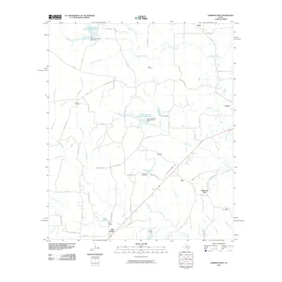
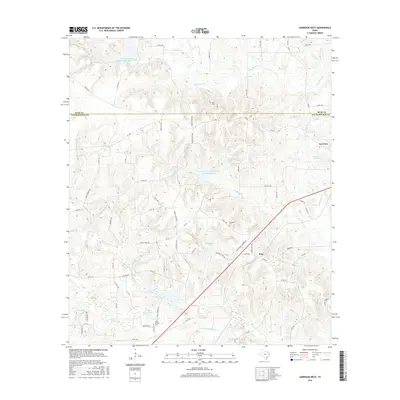
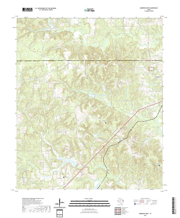
 1984 Garrison West1985 Print · USGSEast Texas rural life in the early eighties is captured here along the Nacogdoches and Rusk county line. Local historians can trace family land near Holly Springs, find small family Cem sites, and follow the paths of Naconiche Creek and Fitze Creek.
 - 1986 Map of Nacogdoches
 1986 Nacogdoches1986 Print · USGSDeep in the East Texas Piney Woods during the mid-eighties, this landscape centers on Nacogdoches and the sprawling Toledo Bend Reservoir. Genealogists can trace family footprints at Sulphur Springs Cem, Oak Grove Ch, and the many small settlements like Reklaw and Sacul.
 - 1992 Map of Nacogdoches
 1992 Nacogdoches1992 Print · USGSEast Texas timberlands and river valleys are captured here in the early nineties, centered on the historic regional hub of Nacogdoches. Trace family roots and old rail lines through Cushing, San Augustine, and Logansport along the Southern Pacific RR.
 - 2010 Map of Garrison East, 2010 Print
 2010 Garrison East2010 Print · USGSCovers Garrison, including Silas, Stockman, and other nearby areas
 - 2010 Map of Garrison West, 2010 Print
 2010 Garrison West2010 Print · USGSCovers Garrison, including Fitze, Holly Springs, and other nearby areas
 - 2013 Map of Garrison East, 2013 Print
 2013 Garrison East2013 Print · USGSCovers Garrison, including Silas, Stockman, and other nearby areas
 - 2013 Map of Garrison West, 2013 Print
 2013 Garrison West2013 Print · USGSCovers Garrison, including Fitze, Holly Springs, and other nearby areas
 - 2016 Map of Garrison West, 2016 Print
 2016 Garrison West2016 Print · USGSCovers Garrison, including Fitze, Holly Springs, and other nearby areas
 - 2016 Map of Garrison East, 2016 Print
 2016 Garrison East2016 Print · USGSCovers Garrison, including Silas, Stockman, and other nearby areas
 - 2019 Map of Garrison West, 2019 Print
 2019 Garrison West2019 Print · USGSCovers Garrison, including Fitze, Holly Springs, and other nearby areas
 - 2019 Map of Garrison East, 2019 Print
 2019 Garrison East2019 Print · USGSCovers Garrison, including Silas, Stockman, and other nearby areas
 - 2022 Map of Garrison West, 2022 Print
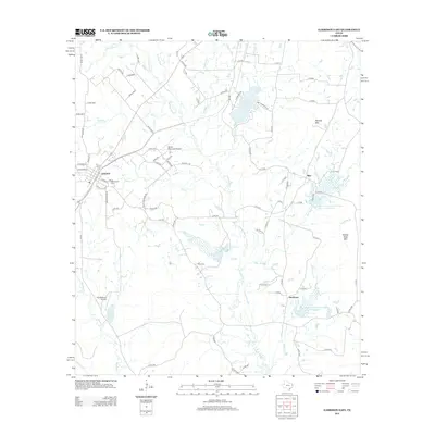
 2022 Garrison West2022 Print · USGSNacogdoches and Rusk counties appear in the 2020s as a landscape of deep piney woods and historic rural outposts. Local researchers can trace family landmarks and early settlements near Garrison, Walnut Grove Cem, and Fitze.
 - 2022 Map of Garrison East, 2022 Print
 2022 Garrison East2022 Print · USGSShelby and Nacogdoches counties appear here in the early 2020s, showing a landscape shaped by the Attoyac River and the quiet growth of Garrison. Genealogists and local historians can trace family plots at Mount Olive Cem, Blair Cem, and Cold Springs Cem.
End of results
Showing maps 1-19 of 19
Top cities near Garrison
- Nacogdoches historical maps
- Timpson historical maps
- Mount Enterprise historical maps
- Appleby historical maps
Frequently asked questions
- What are the different types of historical maps available for Garrison?
- What is the oldest map of Garrison?
- Where can I purchase historical maps of Garrison for my home or office?
- Where can I download high-res historical maps of Garrison?
- Are there historical topographic maps available for Garrison?
- Is there historical aerial imagery available for Garrison?
- Where are historical maps of Garrison sourced from?