2020s Maps of Newton County, Texas
Explore 38 historic maps of Newton County from the 2020s. These maps offer a rare glimpse into what life looked like during the 2020s — showing old roads, neighborhoods, homes, and landmarks that have changed or disappeared over time.
Whether you're researching your family's past, planning a metal detecting trip, or studying how Newton County's landscape evolved across the 2020s, these high-resolution maps are a powerful tool for exploring the history of this region.
- Focus on a specific era: All maps on this page are from the 2020s, giving you a focused view of this time period.
- See what’s changed: Compare century-old streets, trails, and buildings to today's modern landscape using overlays and satellite layers.
- Research with precision: Use these maps for genealogy, historical research, land use analysis, or educational projects.
- View, download, or print: Maps are fully viewable online in high resolution, and can be downloaded or printed for your own records.
Start exploring Newton County's history through authentic maps from the 2020s. This is your window into the past.
Newton County, TX maps
(38)- 2020 Map of Starks, 2020 Print
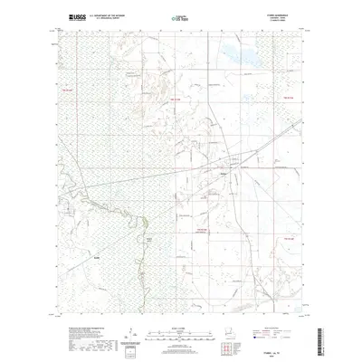 2020 Starks2020 Print · USGSCovers Newton County, including Ruliff, Deweyville, and other nearby areas
 - 2020 Map of Shoats Creek, 2020 Print
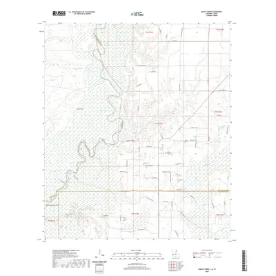 2020 Shoats Creek2020 Print · USGSCovers Newton County, including Calcasieu Parish, Beauregard Parish, and other nearby areas
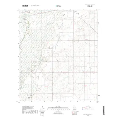
 - 2020 Map of Merryville North, 2020 Print
 2020 Merryville North2020 Print · USGSCovers Newton County, including Merryville, Junction, and other nearby areas
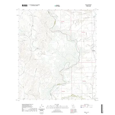
 - 2020 Map of Merryville South, 2020 Print
 2020 Merryville South2020 Print · USGSCovers Newton County, including Merryville, Bivens, and other nearby areas
 - 2020 Map of Evans, 2020 Print
 2020 Evans2020 Print · USGSCovers Newton County, including Evans, Almadane, and other nearby areas
 - 2020 Map of Bancroft, 2020 Print
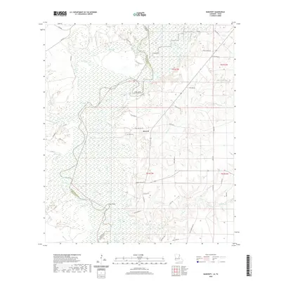 2020 Bancroft2020 Print · USGSCovers Newton County, including Bancroft, Beauregard Parish, and other nearby areas
 - 2020 Map of Haddens, 2020 Print
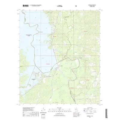 2020 Haddens2020 Print · USGSCovers Newton County, including Haddens, South Toledo Bend, and other nearby areas
 - 2022 Map of Hartburg, 2022 Print
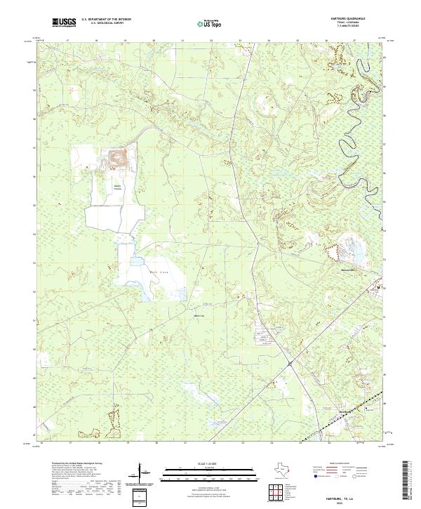 2022 Hartburg2022 Print · USGSNewton County, Texas, and the Louisiana border meet along the winding Sabine River in this modern survey of the Gulf Coast lowlands. Local historians can trace the roads of Deweyville and Hartburg or locate family sites at Deweyville Cem and King Cem.
 - 2022 Map of Weeks Settlement, 2022 Print
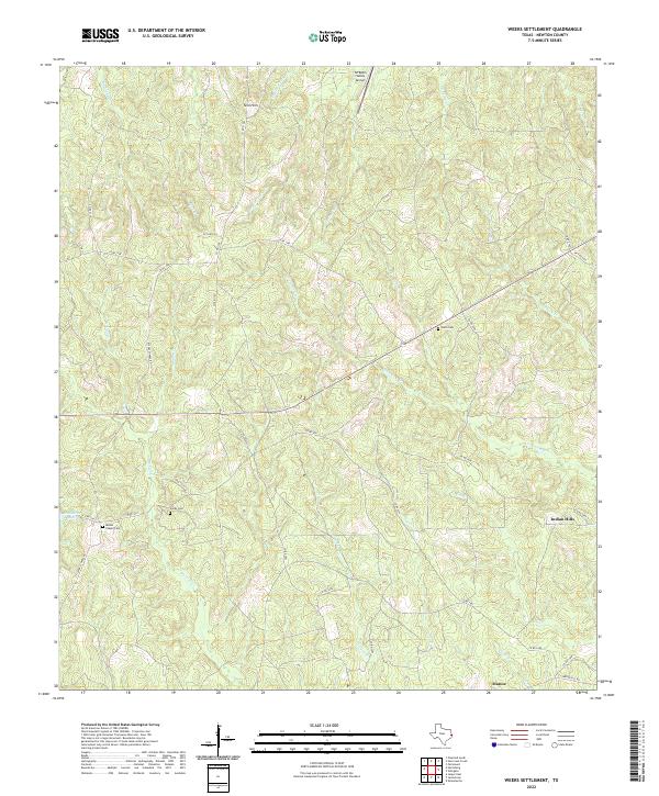 2022 Weeks Settlement2022 Print · USGSNewton County's creek-split timberlands are captured here in the early twenty-first century, showing a landscape shaped by water and tradition. Genealogists can trace family footprints at Hardy Cem and Weeks Chapel Cem near the banks of Big Cow Cr.
 - 2022 Map of Trout Creek, 2022 Print
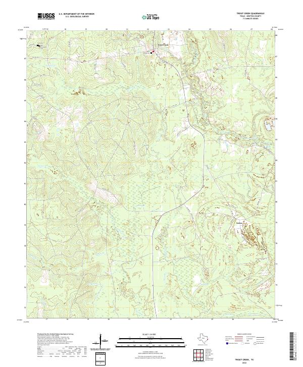 2022 Trout Creek2022 Print · USGSNewton County timberlands and wetlands are documented in the early twenty-first century, centered on the community of Trout Creek. Family historians can locate the Call Cem and Trout Creek Cem or trace drainages like Big Cow Creek and Gum Slough.
 - 2022 Map of Bon Wier, 2022 Print
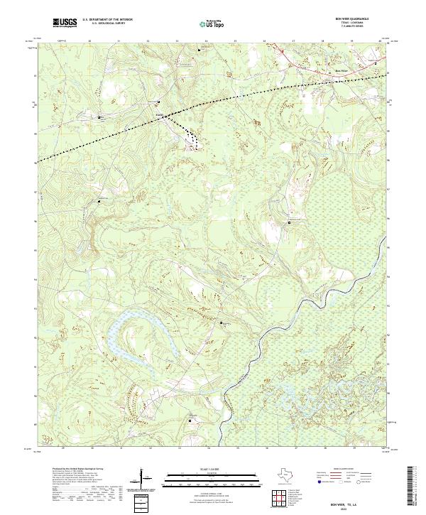 2022 Bon Wier2022 Print · USGSThe Sabine River bottomlands meet the upland timber country of Newton County in the late 2010s. Researchers can locate numerous family burial sites like Old Belgrade Cem and Davis Cem or trace the wetland drainages of Bee Slough and Wickersham Lake.
 - 2022 Map of Jasper East, 2022 Print
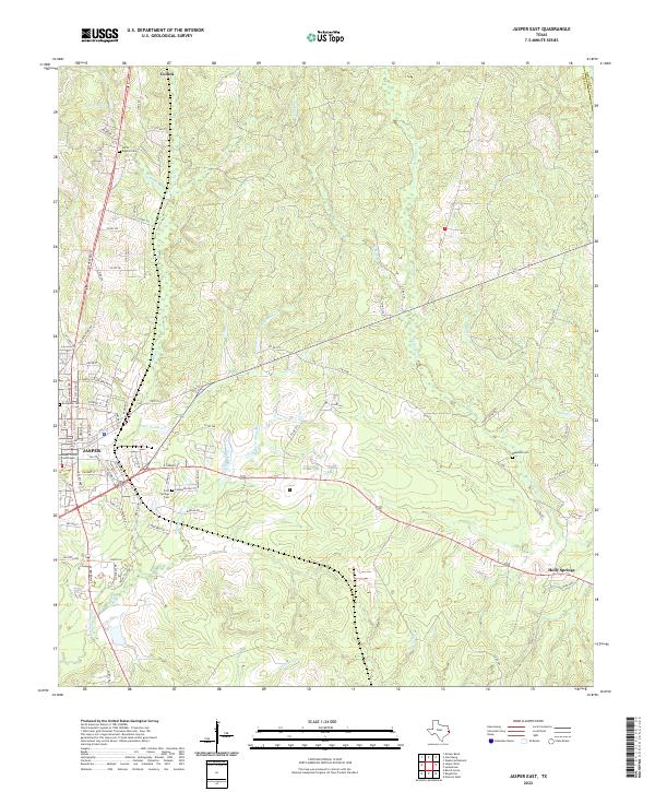 2022 Jasper East2022 Print · USGSJasper and its eastern timberlands are documented in this recent survey of the Deep East Texas landscape. Researchers can locate family burial sites at Cold Springs Cem and Evergreen Cem or trace the rural environs of Holly Springs.
 - 2022 Map of Hurricane Creek, 2022 Print
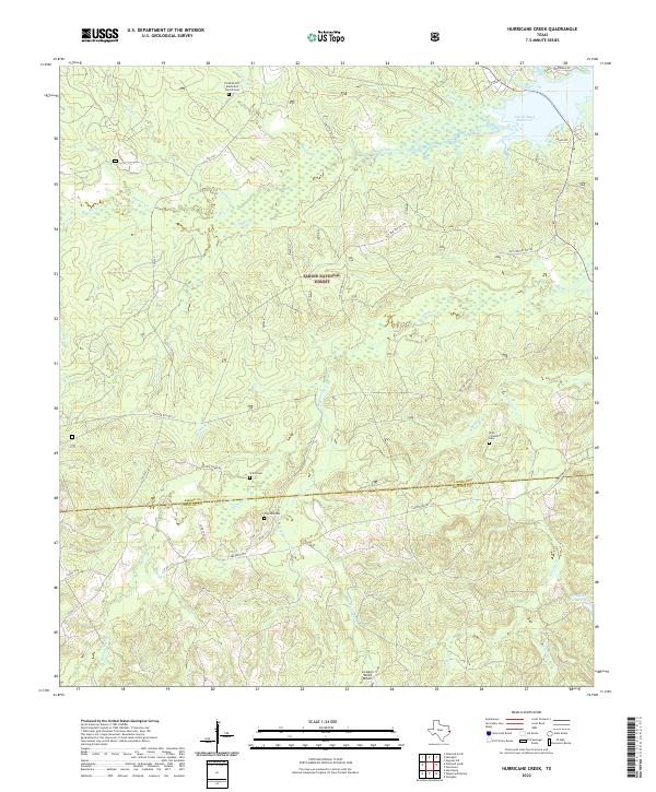 2022 Hurricane Creek2022 Print · USGSSabine and Newton Counties remain deeply forested in this modern survey of the East Texas Piney Woods. Researchers can pinpoint historic burial grounds and rural hubs like Smith Cemetery, the Pine Hill Cemetery, and the waterfront Six Mile Village.
 - 2022 Map of Harrisburg, 2022 Print
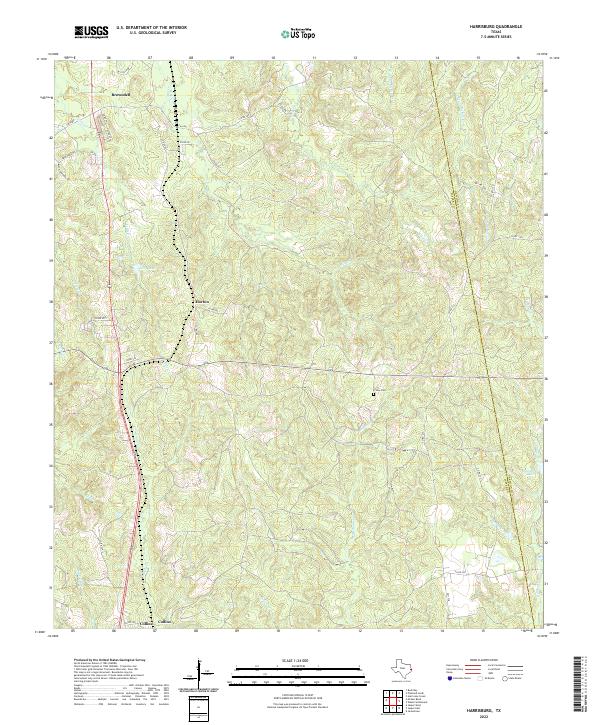 2022 Harrisburg2022 Print · USGSDeep in East Texas during the early twenty-first century, this landscape shows the rural communities of Jasper and Newton counties. Genealogists and local historians can locate Frisby Cem and trace the paths of Browndell, Horton, and Collins along the many local creeks.
 - 2022 Map of Gist, 2022 Print
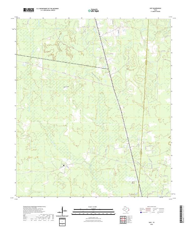 2022 Gist2022 Print · USGSJasper and Newton counties meet in this 2022 survey of the southeast Texas timberlands and prairie openings. Genealogists can locate Eaves Cem while researchers trace the wetlands of Gum Slough and Myrtle Prairie.
 - 2022 Map of Mauriceville, 2022 Print
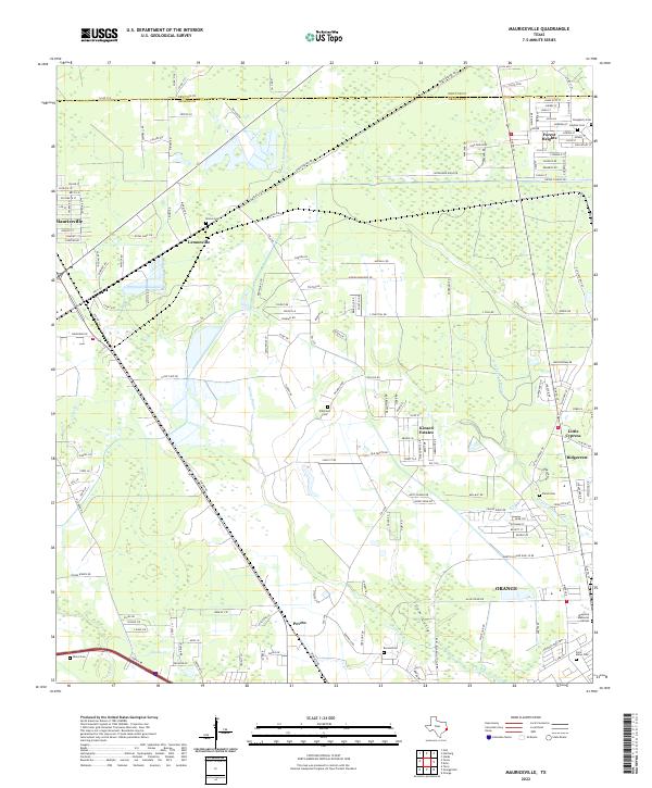 2022 Mauriceville2022 Print · USGSCoastal Texas bayous and rural settlements define the landscape north of Orange in the early 2020s. Genealogists and local historians can trace several community landmarks, including Brown Cem, Parish Cem, and the old neighborhoods of Lemonville and Peveto.
 - 2022 Map of Bleakwood, 2022 Print
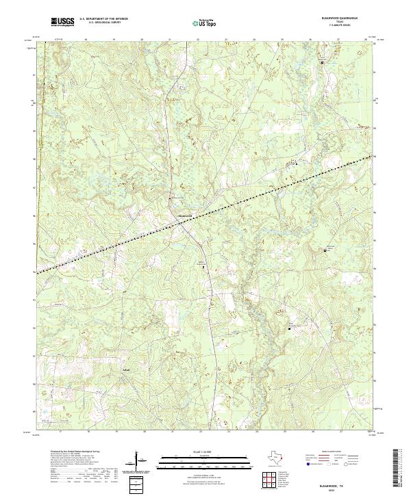 2022 Bleakwood2022 Print · USGSNewton County's marshy timberlands are documented here in the early 21st century. Researchers can trace rural lineages through numerous local landmarks, from Bleakwood Cem and Watson Chapel Cem to the old Adsul community site.
 - 2022 Map of Newton East, 2022 Print
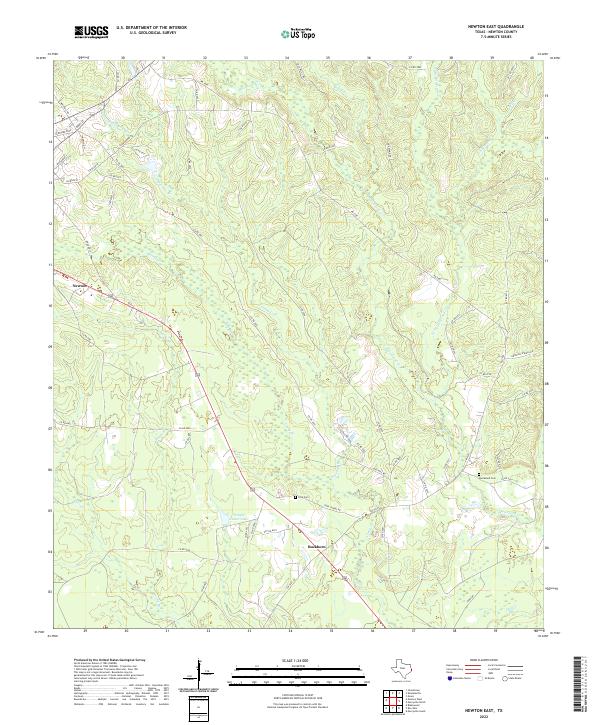 2022 Newton East2022 Print · USGSNewton County's wooded landscapes and rural settlements are documented here in the early twenty-first century. Genealogists and local historians can trace family sites at Ford Cem and Quicksand Cem or follow the paths of Threemile Br and Caney Cr.
 - 2022 Map of Buna, 2022 Print
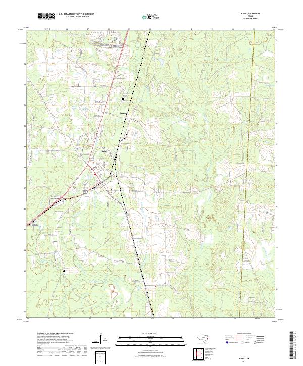 2022 Buna2022 Print · USGSBuna and the old lumber community of Bessmay are shown in this recent survey of the East Texas Piney Woods. Family researchers can trace local roots at Bessmay Cem and Morse Cem, or explore the unique terrain of Phillips Thicket and Hollis Marsh.
 - 2022 Map of Kirbyville, 2022 Print
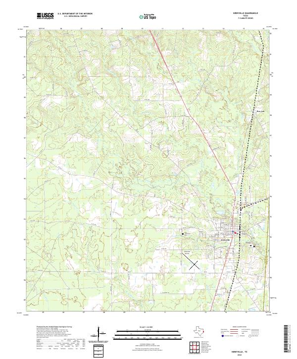 2022 Kirbyville2022 Print · USGSKirbyville and the nearby settlement of Bon Ami are shown here in the early twenty-first century, surrounded by a complex network of East Texas creeks. Researchers can trace local lineage at West Greenlawn Cem or follow the waters of Boggy Cr and Robinson Br.
 - 2022 Map of Newton West, 2022 Print
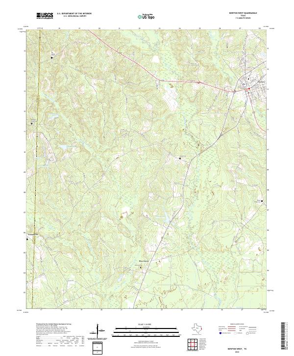 2022 Newton West2022 Print · USGSNewton and its surrounding East Texas timberlands are captured here in the early twenty-first century. Family historians can locate family burial plots at Woods Cem and Wilkinson Cem or trace the civic center around the Newton County Courthouse.
 - 2022 Map of Echo, 2022 Print
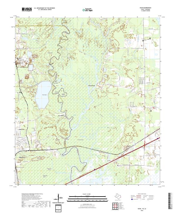 2022 Echo2022 Print · USGSThe Texas-Louisiana borderlands along the Sabine River come into focus in this recent survey of the Orange area. Researchers can trace family history at Ida Wilson Cem or explore the river-driven landscape around Niblett Bluff and the settlement of Echo.
 - 2022 Map of Sudduth Bluff, 2022 Print
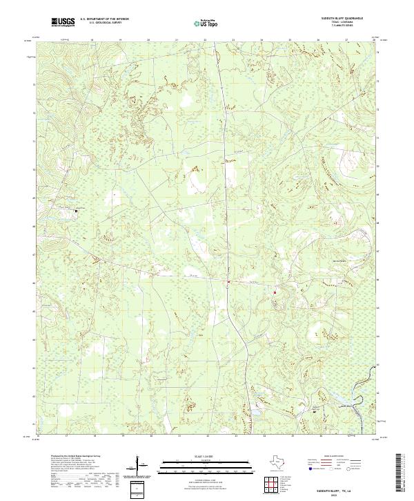 2022 Sudduth Bluff2022 Print · USGSThe Texas and Louisiana borderlands near the Sabine River are captured here in a moment of rural quiet. Genealogists can trace family footprints around Wrights Settlement Rd or visit the secluded Sudduth Bluff Cem and Wright Cem.
 - 2022 Map of Jamestown, 2022 Print
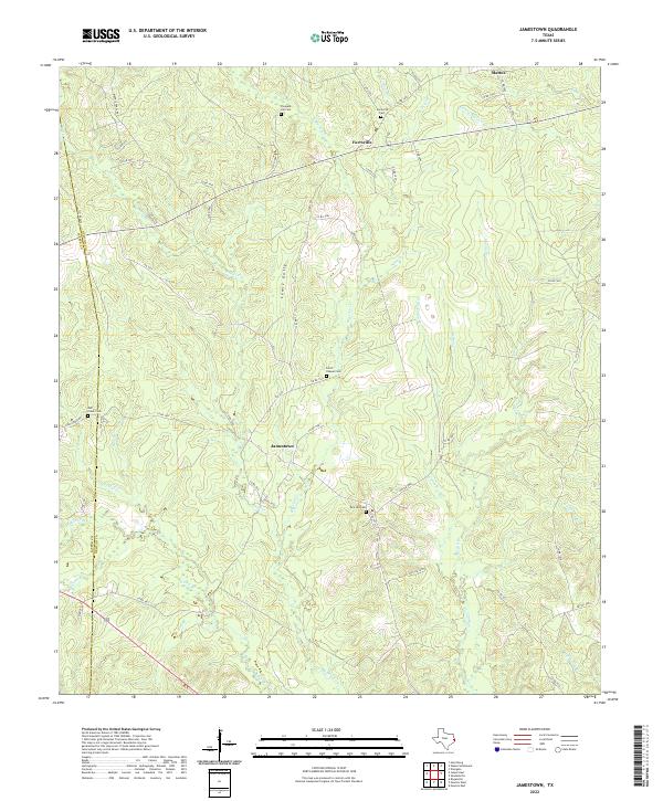 2022 Jamestown2022 Print · USGSThe rural borderlands of Jasper and Newton counties are captured here in the early twenty-first century, showcasing a landscape defined by small timber-country settlements and family landmarks. Genealogists can locate several historic burial sites, including Farrs Chapel Cem and Pleasant Hill Cem, near the community of Jamestown.
 - 2022 Map of Fairmount, 2022 Print
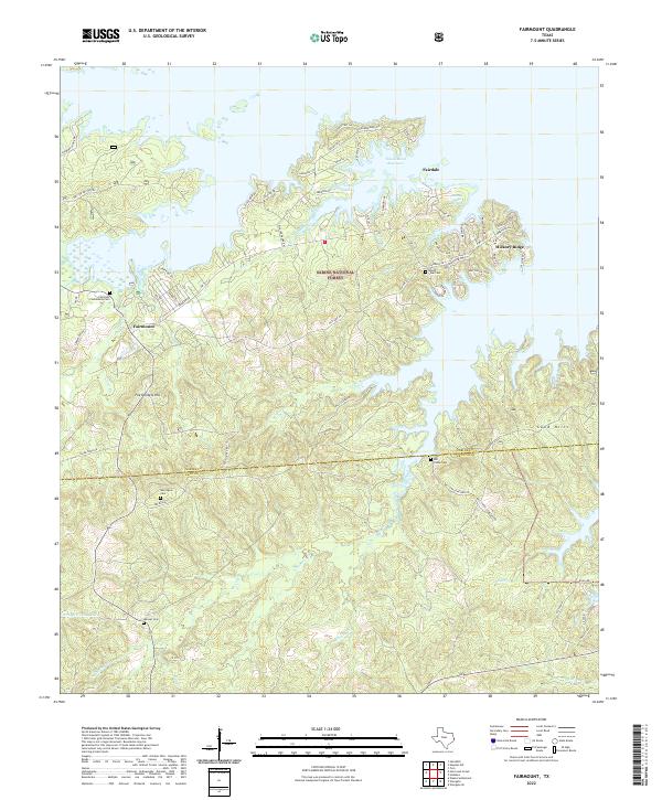 2022 Fairmount2022 Print · USGSSabine County’s shoreline and timberlands are documented here just after the start of the twenty-first century's third decade. Genealogists and local historians can locate several rural burial grounds, including Mount Sinai Cem, Garlington Cem, and the Fairmont Community Cem.
Showing maps 1-25 of 38
Top cities of Newton County
Frequently asked questions
- What are the different types of historical maps available for Newton County?
- What is the oldest map of Newton County?
- Where can I purchase historical maps of Newton County for my home or office?
- Where can I download high-res historical maps of Newton County?
- Are there historical topographic maps available for Newton County?
- Is there historical aerial imagery available for Newton County?
- Where are historical maps of Newton County sourced from?