Old Maps of Scrapping Valley, Texas for Metal Detecting
Plan your next treasure hunt with 12 historic maps of Scrapping Valley. Find old homesites, ghost towns, trails, and gathering spots that may be lost to time — perfect for identifying promising metal detecting locations.
- Locate forgotten sites: Uncover places like long-lost settlements, abandoned rail lines, or gathering spots.
- Plan better hunts: Use map overlays combined with LiDAR or satellite views to narrow in on historically rich areas.
- Made for detectorists: Thousands of hobbyists use these maps to discover relics, coins, and hidden history.
Use these historic maps to boost your research and find new opportunities beneath the surface of Scrapping Valley.
Scrapping Valley, TX maps
(12)- 1953 Map of Alexandria, 1963 Print
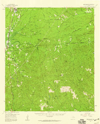
 1953 Alexandria1963 Print · USGSCentral Louisiana during the early fifties is mapped here at the intersection of the piney woods and the Red River valley. Genealogists and historians can trace the rail-and-river network connecting towns like Alexandria, Natchitoches, and the grounds of Camp Beauregard.3 unique versions available
 - 1955 Map of Alexandria
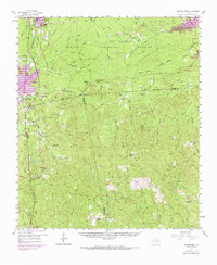
 1955 Alexandria1955 Print · USGSCentral Louisiana in the mid-fifties is a landscape of river-port cities, sprawling timberlands, and massive military reservations. Genealogists and historians can trace the rail networks of the Texas & Pacific RR and locate sites like Camp Polk Military Reservation and Natchitoches.
 - 1957 Map of Brookeland, 1959 Print
 1957 Brookeland1959 Print · USGSDeep in the Piney Woods during the late fifties, this area shows a landscape defined by timber, rail, and family settlements. Genealogists can trace rural roots at Weeks Settlement, Browndell, and the Low Cem (Historical Mon).2 unique versions available
 - 1969 Map of Brookeland, 1970 Print
 1969 Brookeland1970 Print · USGSEast Texas timberlands and rising reservoir waters meet in this late-sixties study of the Sabine National Forest. Trace the local genealogy of Brookeland through landmarks like Lowe Cem (Historical Mon) and Weeks Settlement.
 - 1984 Map of Hurricane Creek
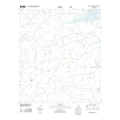
 1984 Hurricane Creek1984 Print · USGSSabine and Newton counties are shown deep in the East Texas piney woods in the early eighties. Local researchers can trace the roads around Clarktown and Scrapping Valley or follow the intricate drainage of Hurricane Creek and Sixmile Creek.
 - 1986 Map of Leesville, 1988 Print
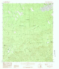
 1986 Leesville1988 Print · USGSThe Louisiana-Texas borderlands in the mid-eighties centered on the vast Toledo Bend Reservoir and the timber-rich piney woods. Researchers can trace the Kansas City Southern RR corridor or locate old communities like Wiergate, Rosevine, and Sandel.
 - 2003 Map of Hurricane Creek, 2004 Print
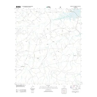
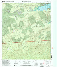 2003 Hurricane Creek2004 Print · USGSThe Sabine National Forest and the southern reaches of the Toledo Bend Reservoir define this East Texas terrain in the early 2000s. Researchers can locate family landmarks like Clark Cem, the Pleasant Hill Ch, and old routes like Ross Youngblood Road.
 - 2010 Map of Hurricane Creek, 2010 Print
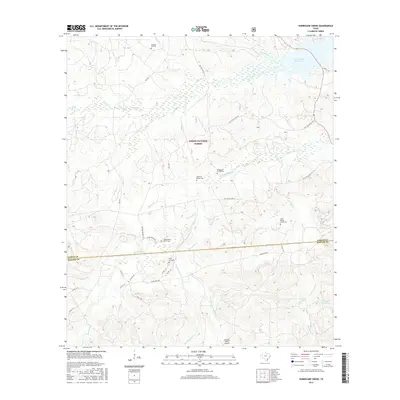
 2010 Hurricane Creek2010 Print · USGSCovers Scrapping Valley, including Clarktown, Mason, and other nearby areas
 - 2012 Map of Hurricane Creek, 2012 Print
 2012 Hurricane Creek2012 Print · USGSCovers Scrapping Valley, including Clarktown, Mason, and other nearby areas
 - 2016 Map of Hurricane Creek, 2016 Print
 2016 Hurricane Creek2016 Print · USGSCovers Scrapping Valley, including Clarktown, Mason, and other nearby areas
 - 2019 Map of Hurricane Creek, 2019 Print
 2019 Hurricane Creek2019 Print · USGSCovers Scrapping Valley, including Clarktown, Mason, and other nearby areas
 - 2022 Map of Hurricane Creek, 2022 Print
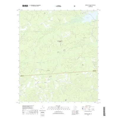
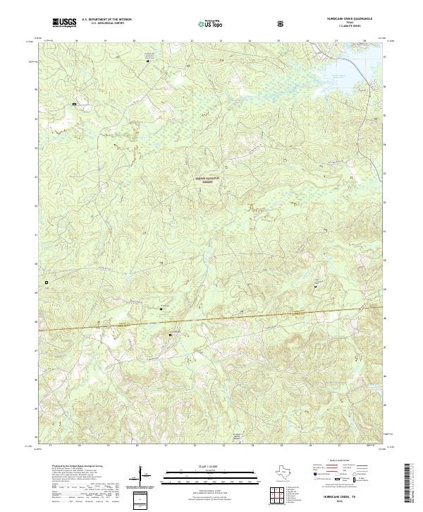 2022 Hurricane Creek2022 Print · USGSSabine and Newton Counties remain deeply forested in this modern survey of the East Texas Piney Woods. Researchers can pinpoint historic burial grounds and rural hubs like Smith Cemetery, the Pine Hill Cemetery, and the waterfront Six Mile Village.
End of results
Showing maps 1-12 of 12
Top cities near Scrapping Valley
Frequently asked questions
- What are the different types of historical maps available for Scrapping Valley?
- What is the oldest map of Scrapping Valley?
- Where can I purchase historical maps of Scrapping Valley for my home or office?
- Where can I download high-res historical maps of Scrapping Valley?
- Are there historical topographic maps available for Scrapping Valley?
- Is there historical aerial imagery available for Scrapping Valley?
- Where are historical maps of Scrapping Valley sourced from?