1960s Maps of Nueces County, Texas
Explore 22 historic maps of Nueces County from the 1960s. These maps offer a rare glimpse into what life looked like during the 1960s — showing old roads, neighborhoods, homes, and landmarks that have changed or disappeared over time.
Whether you're researching your family's past, planning a metal detecting trip, or studying how Nueces County's landscape evolved across the 1960s, these high-resolution maps are a powerful tool for exploring the history of this region.
- Focus on a specific era: All maps on this page are from the 1960s, giving you a focused view of this time period.
- See what’s changed: Compare century-old streets, trails, and buildings to today's modern landscape using overlays and satellite layers.
- Research with precision: Use these maps for genealogy, historical research, land use analysis, or educational projects.
- View, download, or print: Maps are fully viewable online in high resolution, and can be downloaded or printed for your own records.
Start exploring Nueces County's history through authentic maps from the 1960s. This is your window into the past.
Nueces County, TX maps
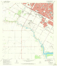
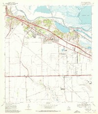
(22)- 1960 Map of Corpus Christi
 1960 Corpus Christi1960 Print · USGSCoastal South Texas and the Nueces County hinterlands are detailed in this mid-century survey. Genealogists and historians can trace early settlement patterns and rural landmarks like Casa Blanca during a period of steady regional growth.
 - 1966 Map of Corpus Christi
 1966 Corpus Christi1966 Print · USGSThe Texas Coastal Bend in the mid-1960s reveals a landscape where massive cattle empires and strategic military bases meet the Gulf. Trace the vast reaches of King Ranch or locate aviation history at the Corpus Christi Air Station and Kingsville Air Station.
 - 1968 Map of Oso Creek NW, 1971 Print
 1968 Oso Creek NW1971 Print · USGSThe outskirts of Corpus Christi in the late sixties reveal a landscape of rapid suburban growth and aerospace utility. Trace family roots and local history through Gardendale, Cabaniss Field, and the NASA Tracking Station.3 unique versions available
 - 1968 Map of Portland, 1971 Print
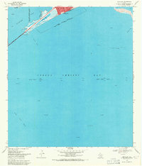 1968 Portland1971 Print · USGSCoastal Texas in the late sixties shows a landscape defined by the energy industry and maritime navigation. Trace the infrastructure of the bay, from the Causeway at Indian Point to the Gas Wells scattered near Alta Vista Reef.2 unique versions available
 - 1968 Map of Oso Creek NE, 1971 Print
 1968 Oso Creek NE1971 Print · USGSCoastal Texas near the end of the sixties shows a landscape defined by military aviation and rapid suburban growth. Genealogists and researchers can map out the Corpus Christi Naval Air Station, the NASA Tracking Sta, and local landmarks like Seaside Memorial Cem.3 unique versions available
 - 1968 Map of Corpus Christi, 1971 Print
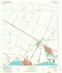
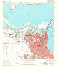 1968 Corpus Christi1971 Print · USGSCorpus Christi emerged as a major industrial and maritime center in the late sixties. Genealogists and historians can trace the development of local neighborhoods through dozens of schools, Old Bayview Cem, and the Del Mar Technical Institute.2 unique versions available
 - 1968 Map of Port Ingleside, 1971 Print
 1968 Port Ingleside1971 Print · USGSThe industrial and maritime growth of San Patricio County is captured here in the late sixties as the energy sector reshaped the coast. Genealogists and historians can trace the footprint of Ingleside, the waterfront at Port Ingleside, and the many offshore oil wells.2 unique versions available
 - 1968 Map of Crane Islands NW, 1971 Print
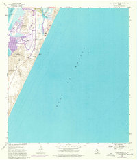
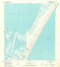 1968 Crane Islands NW1971 Print · USGSBarrier islands near Corpus Christi in the late sixties reveal a landscape of shifting sands and tidal passes. Trace the original path of the John Kennedy Causeway or locate historical sites like Wilsons Cut and Packery Channel Park.3 unique versions available
 - 1968 Map of Port Aransas, 1972 Print
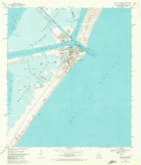 1968 Port Aransas1972 Print · USGSPort Aransas and its surrounding barrier islands are shown in detail during the late 1960s maritime era. Researchers can trace coastal development through the Mustang Beach Landing Strip, the Royal Palm Cem, and the Aransas Pass Lighthouse.2 unique versions available
 - 1968 Map of Crane Islands SW, 1977 Print
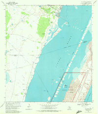
 1968 Crane Islands SW1977 Print · USGSThe barrier island landscape of the Texas coast is captured here during the late sixties and seventies, showing the transition between maritime industry and recreation. Researchers can trace the shifting dunes at Fourmile Hill and the early development of County Park near Bob Hall Pier.
 - 1969 Map of Taft, 1972 Print
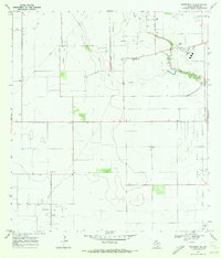
 1969 Taft1972 Print · USGSCoastal Texas industry and civic life intersect in the late sixties as oil production expands around Taft. Trace local genealogy and infrastructure through the Bellevue Cem, Worsham Airfield, and the sprawling White Point Oil Field.2 unique versions available
 - 1969 Map of Pita Island, 1972 Print
 1969 Pita Island1972 Print · USGSThe Kleberg County coast in the late sixties reveals a landscape of isolated ranch windmills and early energy exploration. Researchers can trace the development of the Padre Island National Seashore and find family landmarks like Sebastian Windmill and Matanza Windmill.3 unique versions available
 - 1969 Map of Annaville, 1972 Print
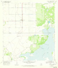
 1969 Annaville1972 Print · USGSCoastal Texas near the Nueces River undergoes a mid-century industrial transformation as suburban growth reaches the edge of the bay. Researchers can find old landmarks like the County Cem, the Saxet Oil Field, and the Mt Tabor Convent.3 unique versions available
 - 1969 Map of Concordia, 1972 Print
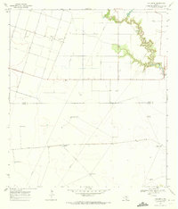 1969 Concordia1972 Print · USGSNueces County ranching and oil interests are captured here in the late sixties, just north of the Kleberg line. Researchers can trace rural landmarks and family holdings through the St Paul Cem and numerous named sites like the Mota Redonda Windmill.2 unique versions available
 - 1969 Map of Laureles Ranch, 1972 Print
 1969 Laureles Ranch1972 Print · USGSCoastal Texas ranching and oil production intersect in the late sixties along the winding path of Petronila Creek. Researchers can trace the industrial footprint of Luby Field or locate family-named landmarks like the Don Roberto Windmill and Laureles Ranch.2 unique versions available
 - 1969 Map of Driscoll East, 1972 Print
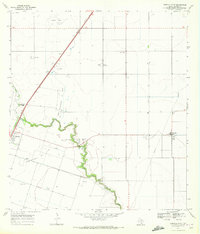 1969 Driscoll East1972 Print · USGSCoastal Texas oil and gas production thrives during the late sixties near the communities of Driscoll and Petronila. Researchers can trace the sprawling Clara Driscoll Oil Field, find the Flinn Cem, and locate Coastal Bend Youth City.2 unique versions available
 - 1969 Map of Odem, 1972 Print
 1969 Odem1972 Print · USGSCoastal Texas in the late sixties shows a landscape defined by petroleum and rail at the edge of the Gulf. Researchers can trace family history at Evergreen Cem or San Pedro Cem while mapping the reach of the Odem Oil Field.2 unique versions available
 - 1969 Map of Gregory, 1972 Print
 1969 Gregory1972 Print · USGSSan Patricio County’s shoreline in the late sixties shows the rise of industrial and suburban development along the bays. Genealogists and historians can trace the early layouts of Portland and Gregory, finding landmarks like Hunt Airport and Austin Sch.4 unique versions available
 - 1969 Map of Chapin Ranch, 1972 Print
 1969 Chapin Ranch1972 Print · USGSCoastal Nueces County in the late sixties is a landscape of expansive ranching operations and emerging energy infrastructure. Genealogists and local historians can trace family-named landmarks like Doches Windmill, locate the Chapman Ranch Cem, and see the early footprint of gas production near Laguna Larga.2 unique versions available
 - 1969 Map of Robstown, 1972 Print
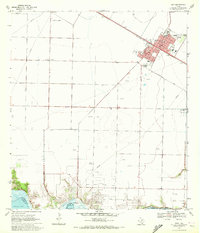
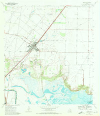
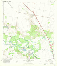
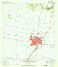 1969 Robstown1972 Print · USGSRobstown and the surrounding Nueces County coastal plains are captured here in the late sixties as a thriving rail and oil hub. Genealogists and historians can trace family-named landmarks and essential community sites like Robstown Memorial Park, Wilma Magee Sch, and the Robstown Labor Camp.3 unique versions available
 - 1969 Map of Petronila NE, 1972 Print
 1969 Petronila NE1972 Print · USGSCoastal Texas oil production and suburban expansion intersect in the late sixties as Corpus Christi reaches southward. Researchers can trace the industrial footprint of the Baldwin Oil Field, the grounds of West Oso High Sch, and the quiet Petronilla settlement.2 unique versions available
 - 1969 Map of Edroy, 1972 Print
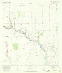
 1969 Edroy1972 Print · USGSIn the late 1960s, this San Patricio County landscape was defined by the winding Nueces River and a busy energy economy. Researchers can trace family sites in Edroy, locate the Guadalupe Ch, and map the extensive Riverside Oil Field.2 unique versions available
End of results
Showing maps 1-22 of 22
Top cities of Nueces County
- Corpus Christi historical maps
- Robstown historical maps
- Port Aransas historical maps
- Bishop historical maps
- Driscoll historical maps
- Agua Dulce historical maps
See more
Frequently asked questions
- What are the different types of historical maps available for Nueces County?
- What is the oldest map of Nueces County?
- Where can I purchase historical maps of Nueces County for my home or office?
- Where can I download high-res historical maps of Nueces County?
- Are there historical topographic maps available for Nueces County?
- Is there historical aerial imagery available for Nueces County?
- Where are historical maps of Nueces County sourced from?