2000s (21st Century) Maps of Nueces County, Texas
Explore 161 historic maps of Nueces County from the 2000s (21st Century). These maps offer a rare glimpse into what life looked like during the 2000s — showing old roads, neighborhoods, homes, and landmarks that have changed or disappeared over time.
Whether you're researching your family's past, planning a metal detecting trip, or studying how Nueces County's landscape evolved across the 2000s, these high-resolution maps are a powerful tool for exploring the history of this region.
- Focus on a specific era: All maps on this page are from the 2000s, giving you a focused view of this time period.
- See what’s changed: Compare century-old streets, trails, and buildings to today's modern landscape using overlays and satellite layers.
- Research with precision: Use these maps for genealogy, historical research, land use analysis, or educational projects.
- View, download, or print: Maps are fully viewable online in high resolution, and can be downloaded or printed for your own records.
Start exploring Nueces County's history through authentic maps from the 2000s. This is your window into the past.
Nueces County, TX maps
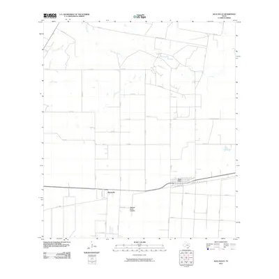
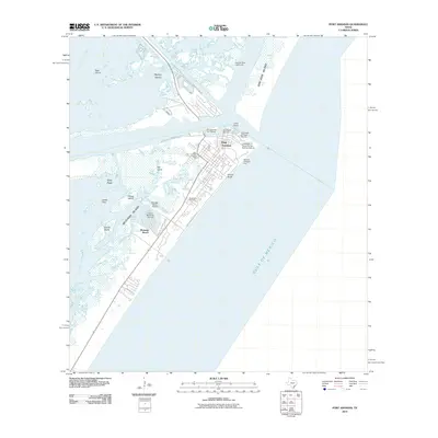
(161)- 2010 Map of Taft, 2010 Print
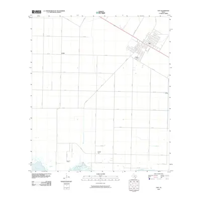 2010 Taft2010 Print · USGSCovers Nueces County, including Corpus Christi, Taft, and other nearby areas
 - 2010 Map of Chapman Ranch, 2010 Print
 2010 Chapman Ranch2010 Print · USGSCovers Nueces County, including Chapman Ranch, Kleberg County, and other nearby areas
 - 2010 Map of Laureles Ranch, 2010 Print
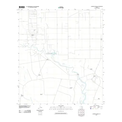 2010 Laureles Ranch2010 Print · USGSCovers Nueces County, including Kleberg County, United States, and other nearby areas
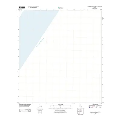
 - 2010 Map of Crane Islands NW, 2010 Print
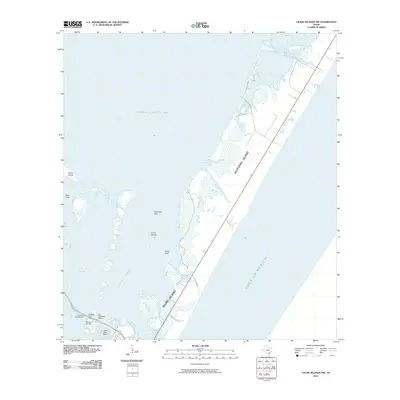 2010 Crane Islands NW2010 Print · USGSCovers Nueces County, including Corpus Christi, United States, and other nearby areas
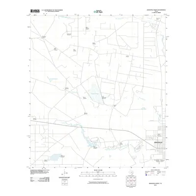
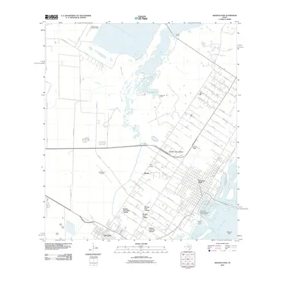
 - 2010 Map of Banquete, 2010 Print
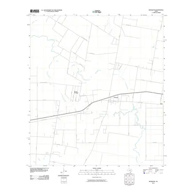 2010 Banquete2010 Print · USGSCovers Nueces County, including Rabb, Banquete, and other nearby areas
 - 2010 Map of Kingsville East, 2010 Print
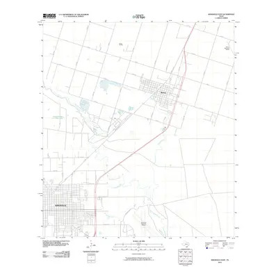 2010 Kingsville East2010 Print · USGSCovers Nueces County, including Kingsville, Bishop, and other nearby areas
 - 2010 Map of Concordia, 2010 Print
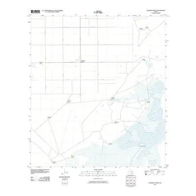
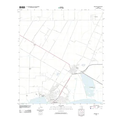
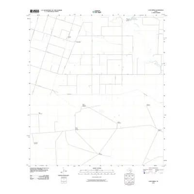 2010 Concordia2010 Print · USGSCovers Nueces County, including Concordia, Kleberg County, and other nearby areas
 - 2010 Map of Pita Island, 2010 Print
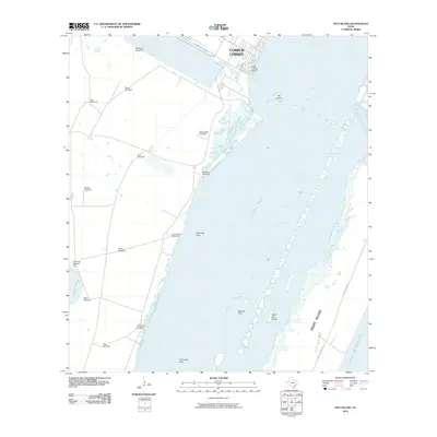 2010 Pita Island2010 Print · USGSCovers Nueces County, including Corpus Christi, Kleberg County, and other nearby areas
 - 2010 Map of Agua Dulce, 2010 Print
 2010 Agua Dulce2010 Print · USGSCovers Nueces County, including Agua Dulce, Bentonville, and other nearby areas
 - 2010 Map of Estes, 2010 Print
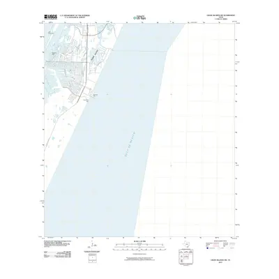
 2010 Estes2010 Print · USGSCovers Nueces County, including Corpus Christi, Rockport, and other nearby areas
 - 2010 Map of Driscoll West, 2010 Print
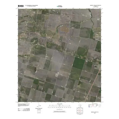 2010 Driscoll West2010 Print · USGSCovers Nueces County, including Driscoll, Lost Creek, and other nearby areas
 - 2010 Map of Gregory, 2010 Print
 2010 Gregory2010 Print · USGSCovers Nueces County, including Corpus Christi, Portland, and other nearby areas
 - 2010 Map of Port Ingleside, 2010 Print
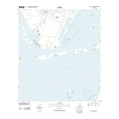 2010 Port Ingleside2010 Print · USGSCovers Nueces County, including Corpus Christi, Ingleside, and other nearby areas
 - 2010 Map of Crane Islands SW, 2010 Print
 2010 Crane Islands SW2010 Print · USGSCovers Nueces County, including Corpus Christi, Kleberg County, and other nearby areas
 - 2010 Map of Driscoll East, 2010 Print
 2010 Driscoll East2010 Print · USGSCovers Nueces County, including Robstown, Driscoll, and other nearby areas
 - 2010 Map of Kingsville West, 2010 Print
 2010 Kingsville West2010 Print · USGSCovers Nueces County, including Kingsville, Kleberg County, and other nearby areas
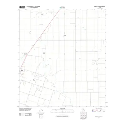
 - 2010 Map of Petronila NE, 2010 Print
 2010 Petronila NE2010 Print · USGSCovers Nueces County, including Corpus Christi, Petronila, and other nearby areas
 - 2010 Map of Odem, 2010 Print
 2010 Odem2010 Print · USGSCovers Nueces County, including Corpus Christi, Odem, and other nearby areas
 - 2010 Map of Orange Grove, 2010 Print
 2010 Orange Grove2010 Print · USGSCovers Nueces County, including Orange Grove, Yucca Acres Colonia, and other nearby areas
 - 2010 Map of Kingsville NW, 2010 Print
 2010 Kingsville NW2010 Print · USGSCovers Nueces County, including Bentonville Acres Colonia, Jim Wells County, and other nearby areas
 - 2010 Map of Port Aransas, 2010 Print
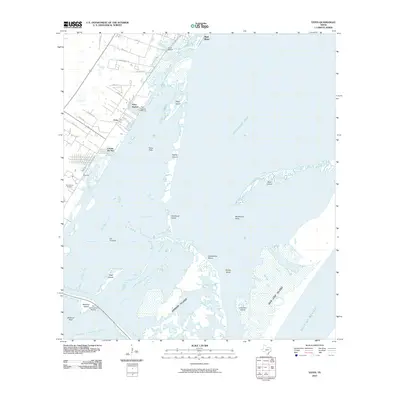
 2010 Port Aransas2010 Print · USGSCovers Nueces County, including Corpus Christi, Aransas Pass, and other nearby areas
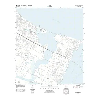
 - 2010 Map of Aransas Pass, 2010 Print
 2010 Aransas Pass2010 Print · USGSCovers Nueces County, including Corpus Christi, Ingleside, and other nearby areas
 - 2010 Map of Crane Islands NW OE E, 2010 Print
 2010 Crane Islands NW OE E2010 Print · USGSCovers Nueces County, including Corpus Christi, Port Aransas, and other nearby areas
 - 2010 Map of Oso Creek NE, 2010 Print
 2010 Oso Creek NE2010 Print · USGSCovers Nueces County, including Corpus Christi, United States, and other nearby areas
 - 2010 Map of Edroy, 2010 Print
 2010 Edroy2010 Print · USGSCovers Nueces County, including Corpus Christi, Hilltop Acres Colonia, and other nearby areas
Showing maps 1-25 of 161
Top cities of Nueces County
- Corpus Christi historical maps
- Robstown historical maps
- Port Aransas historical maps
- Bishop historical maps
- Driscoll historical maps
- Agua Dulce historical maps
See more
Frequently asked questions
- What are the different types of historical maps available for Nueces County?
- What is the oldest map of Nueces County?
- Where can I purchase historical maps of Nueces County for my home or office?
- Where can I download high-res historical maps of Nueces County?
- Are there historical topographic maps available for Nueces County?
- Is there historical aerial imagery available for Nueces County?
- Where are historical maps of Nueces County sourced from?