Old Maps of Corner Windmill, Texas for Academic Research
Study the evolution of Corner Windmill with 9 high-resolution historic maps. Whether you're teaching, researching, or modeling changes in land use, these maps provide essential visual documentation of urban, environmental, and geographic change.
- Analyze long-term change: Track patterns in development, transportation, and natural features.
- Ideal for environmental or urban studies: Support academic projects with primary historical map data.
- Use in the classroom or lab: Educators and researchers rely on these maps to bring historical context to life.
These maps are a powerful tool for teaching, research, and visualizing how Corner Windmill has changed over the decades.
Corner Windmill, TX maps
(9)- 1954 Map of Tucumcari, 1965 Print
 1954 Tucumcari1965 Print · USGSThe high plains along the New Mexico and Texas border come alive in this mid-century survey, just as the regional highway network was maturing. Trace the historic route of U.S. 66 through Glenrio and San Jon or locate remote rail sidings like Rehm Station and Obar.2 unique versions available
 - 1958 Map of Tucumcari
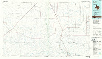
 1958 Tucumcari1958 Print · USGSEastern New Mexico and the Texas Panhandle meet in this mid-century survey of the high plains ranching and rail corridor. Researchers can trace the path of Mother Road travelers through Tucumcari and Glenrio or locate remote rail stops like Nara Visa Station and Hartley Station.
 - 1971 Map of Romero SE, 1973 Print
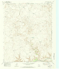 1971 Romero SE1973 Print · USGSThe Texas Panhandle breaks along the Canadian River are documented here in the early seventies, showing a ranching landscape centered on remote water sources. Researchers can trace the ranching infrastructure of the era through sites like Old Santa Fe Windmill, East Chavez Windmill, and Horseshoe Tank.
 - 1985 Map of Hartley, 1986 Print
 1985 Hartley1986 Print · USGSThe Texas Panhandle in the mid-eighties was a land of sprawling cattle ranches and emerging energy fields linked by deep-rooted rail lines. Genealogists and historians can trace the paths of the Burlington Northern through Channing or locate riverside landmarks like Tascosa and Boys Ranch.2 unique versions available
 - 2010 Map of Romero SE, 2010 Print
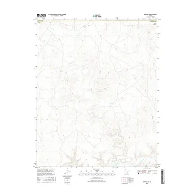
 2010 Romero SE2010 Print · USGSCovers Corner Windmill, including Hartley County, Oldham County, and other nearby areas
 - 2012 Map of Romero SE, 2012 Print
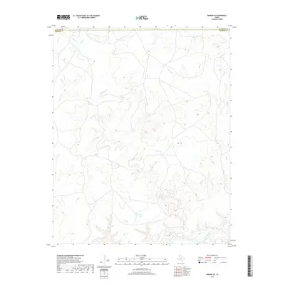
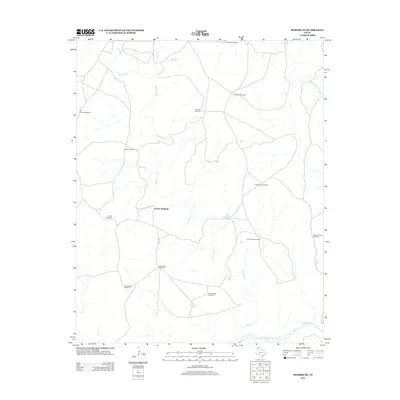 2012 Romero SE2012 Print · USGSCovers Corner Windmill, including Hartley County, Oldham County, and other nearby areas
 - 2016 Map of Romero SE, 2016 Print
 2016 Romero SE2016 Print · USGSCovers Corner Windmill, including Hartley County, Oldham County, and other nearby areas
 - 2019 Map of Romero SE, 2019 Print
 2019 Romero SE2019 Print · USGSCovers Corner Windmill, including Hartley County, Oldham County, and other nearby areas
 - 2022 Map of Romero SE, 2022 Print
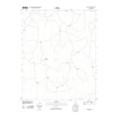
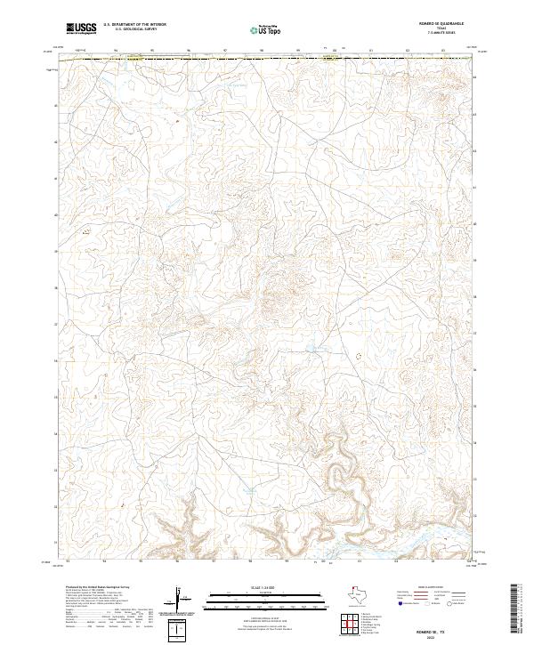 2022 Romero SE2022 Print · USGSThe High Plains of the Texas Panhandle are documented here as they appeared in the early twenty-first century, showing the boundary between Hartley and Oldham counties. Genealogists and land researchers can trace the winding path of Minneosa Cr and locate vital local landmarks like Van Tyle Tank and Red Tank.
End of results
Showing maps 1-9 of 9
Frequently asked questions
- What are the different types of historical maps available for Corner Windmill?
- What is the oldest map of Corner Windmill?
- Where can I purchase historical maps of Corner Windmill for my home or office?
- Where can I download high-res historical maps of Corner Windmill?
- Are there historical topographic maps available for Corner Windmill?
- Is there historical aerial imagery available for Corner Windmill?
- Where are historical maps of Corner Windmill sourced from?