Old Maps of Mauriceville, Texas for Hiking & Exploration
Hike through history with 12 historic maps of Mauriceville. Explore old trails, ghost towns, and forgotten backroads — perfect for outdoor adventurers and local explorers.
- Rediscover forgotten places: Map out old mining camps, roads, and footpaths that no longer exist on modern maps.
- Layer with modern tools: Combine with LiDAR or satellite views to plan hikes through historical terrain.
- Made for exploration: Popular among hikers, overlanders, and local history lovers.
Use these maps to find adventure and explore the hidden past of Mauriceville.
Mauriceville, TX maps
(12)- 1926 Map of Mauriceville
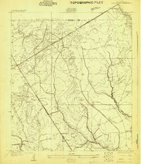 1926 Mauriceville1926 Print · USGSSoutheast Texas at the height of the mid-twenties rail era shows a landscape of timber-driven settlements and winding waterways. Genealogists and researchers can locate early schools and junctions like Little Cypress School, Lemonville, and Hartburg.
 - 1943 Map of Mauriceville, 1953 Print
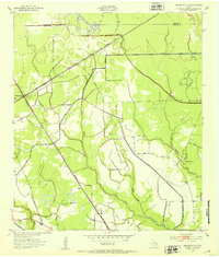 1943 Mauriceville1953 Print · USGSSoutheast Texas at the dawn of the 1940s reveals a rural landscape defined by logging railroads and bayou drainage. Genealogists and historians can trace family locations near Wilkinson Cem, the Little Cypress Sch, and the junction at Mauriceville.
 - 1952 Map of Lake Charles
 1952 Lake Charles1952 Print · USGSSouthwest Louisiana is captured here in the mid-fifties, showing a landscape defined by the rise of the petrochemical industry and deep-water navigation. Researchers can trace family roots through numerous small-town settlements and oil developments like Nibletts Bluff, the Lockport Oil Field, and Starks.
 - 1954 Map of Lake Charles, 1964 Print
 1954 Lake Charles1964 Print · USGSSouthwest Louisiana in the mid-fifties is defined by its massive petroleum industry and its complex network of bayous and rail lines. Researchers can trace the development of the Sulphur Mines Oil Field or locate historic settlements like Longville and De Quincy.3 unique versions available
 - 1957 Map of Orangefield, 1958 Print
 1957 Orangefield1958 Print · USGSSoutheast Texas at the peak of the mid-century oil boom is detailed here, showing the intricate intersection of rail lines and bayous. Genealogists can locate family landmarks such as Linscomb Cem, Winfree Ch, and the settlement of Mauriceville.2 unique versions available
 - 1957 Map of Mauriceville, 1958 Print
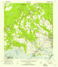
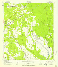 1957 Mauriceville1958 Print · USGSMauriceville and the Orange County wetlands are shown here in the mid-fifties, where rail hubs met the oil and timber landscape. Genealogists and researchers can trace the Kansas City Southern line through Lemonville, find Wilkinson Cem, or locate the Little Cypress Sch.3 unique versions available
 - 1986 Map of Lake Charles
 1986 Lake Charles1986 Print · USGSThe Louisiana-Texas borderlands are captured here in the mid-1980s, showcasing the industrial growth of the Lake Charles region and its rail-linked satellite towns. Trace the evolution of coastal settlements and family landmarks from Sulphur to the Highland Cem.2 unique versions available
 - 2010 Map of Mauriceville, 2010 Print
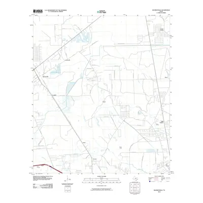 2010 Mauriceville2010 Print · USGSCovers Mauriceville, including Orange, Lemonville, and other nearby areas
 - 2012 Map of Mauriceville, 2012 Print
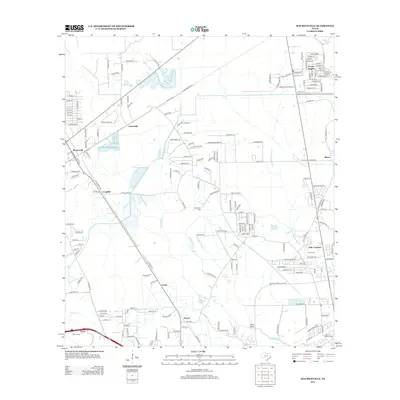 2012 Mauriceville2012 Print · USGSCovers Mauriceville, including Orange, Lemonville, and other nearby areas
 - 2016 Map of Mauriceville, 2016 Print
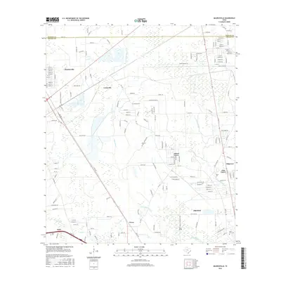 2016 Mauriceville2016 Print · USGSCovers Mauriceville, including Orange, Lemonville, and other nearby areas
 - 2019 Map of Mauriceville, 2019 Print
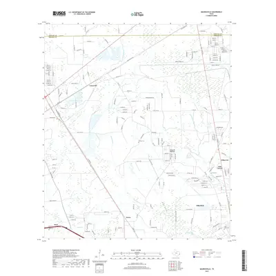 2019 Mauriceville2019 Print · USGSCovers Mauriceville, including Orange, Lemonville, and other nearby areas
 - 2022 Map of Mauriceville, 2022 Print
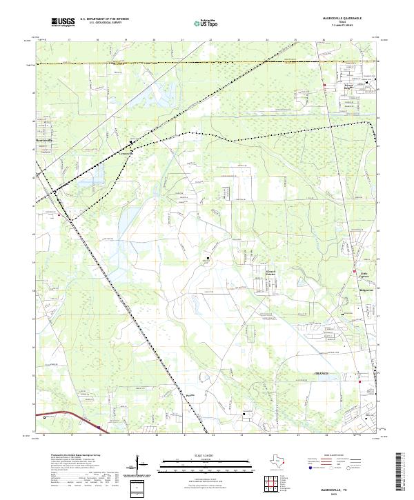 2022 Mauriceville2022 Print · USGSCoastal Texas bayous and rural settlements define the landscape north of Orange in the early 2020s. Genealogists and local historians can trace several community landmarks, including Brown Cem, Parish Cem, and the old neighborhoods of Lemonville and Peveto.
End of results
Showing maps 1-12 of 12
Top cities near Mauriceville
- Beaumont historical maps
- Port Arthur historical maps
- Orange historical maps
- Nederland historical maps
- Port Neches historical maps
- Vidor historical maps
See more
Frequently asked questions
- What are the different types of historical maps available for Mauriceville?
- What is the oldest map of Mauriceville?
- Where can I purchase historical maps of Mauriceville for my home or office?
- Where can I download high-res historical maps of Mauriceville?
- Are there historical topographic maps available for Mauriceville?
- Is there historical aerial imagery available for Mauriceville?
- Where are historical maps of Mauriceville sourced from?