2010s Maps of Vidor, Texas
Explore 16 historic maps of Vidor from the 2010s. These maps offer a rare glimpse into what life looked like during the 2010s — showing old roads, neighborhoods, homes, and landmarks that have changed or disappeared over time.
Whether you're researching your family's past, planning a metal detecting trip, or studying how Vidor's landscape evolved across the 2010s, these high-resolution maps are a powerful tool for exploring the history of this region.
- Focus on a specific era: All maps on this page are from the 2010s, giving you a focused view of this time period.
- See what’s changed: Compare century-old streets, trails, and buildings to today's modern landscape using overlays and satellite layers.
- Research with precision: Use these maps for genealogy, historical research, land use analysis, or educational projects.
- View, download, or print: Maps are fully viewable online in high resolution, and can be downloaded or printed for your own records.
Start exploring Vidor's history through authentic maps from the 2010s. This is your window into the past.
Vidor, TX maps
(16)- 2010 Map of Beaumont East, 2010 Print
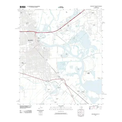 2010 Beaumont East2010 Print · USGSSoutheast Texas at the start of the 2010s shows a landscape deeply defined by its petroleum history and river-based industry. Genealogists and historians can trace significant landmarks like the Lucas Gusher Spindletop Oil Field, Magnolia Cemetery, and South Texas State Fairground.
 - 2010 Map of Pine Forest, 2010 Print
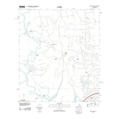 2010 Pine Forest2010 Print · USGSThe riverfront and timberlands north of Beaumont and Vidor are shown here in the early twenty-first century as suburban growth meets historical river crossings. Researchers can locate family landmarks such as Williamson Cemetery and trace old routes at Colliers Ferry and Lawson Crossing.
 - 2010 Map of Texla, 2010 Print
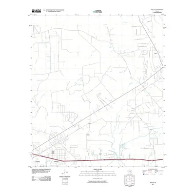 2010 Texla2010 Print · USGSSoutheast Texas in the early 2000s shows a landscape of growing residential neighborhoods and quiet rural communities along the bayous. Genealogists and local historians can trace burial sites like Singleton Cemetery or explore the developments of Lakewood and Texla.
 - 2010 Map of Terry, 2010 Print
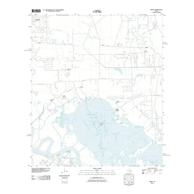 2010 Terry2010 Print · USGSThe Jefferson County coast at the start of the decade shows the intersection of industry and the bayou. Researchers can trace family history at Adcock Cemetery and Floyd Cemetery or locate the historic settlements of Oilla and Connell.
 - 2012 Map of Terry, 2012 Print
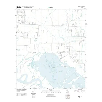 2012 Terry2012 Print · USGSThe marshlands north of Port Arthur come into focus in the early 2010s, showing a landscape shaped by petroleum extraction and coastal bayous. Researchers can locate several family cemeteries like Kishi Colony Cem and Williams Cem or trace the waterways of Grays Bayou.
 - 2012 Map of Texla, 2012 Print
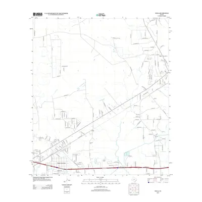 2012 Texla2012 Print · USGSOrange County near the Louisiana border shows a landscape of bayous and rising residential developments in this recent survey. Researchers can trace local burials at Singleton Cem or follow the path of Cow Bayou past Texla and Doty.
 - 2013 Map of Pine Forest, 2013 Print
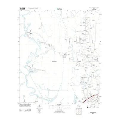 2013 Pine Forest2013 Print · USGSCoastal Texas east of Beaumont comes into focus during the early 2000s as residential expansion meets the industrial legacy of the oil fields. Trace local family history at Williamson Cem or explore the waterways of Bunns Canal and Lawson Crossing along the Neches River.
 - 2013 Map of Beaumont East, 2013 Print
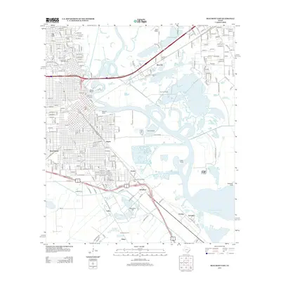 2013 Beaumont East2013 Print · USGSJefferson County’s industrial and oil boom heritage is on full display in this modern survey of the Neches River corridor. Genealogists and historians can trace family-named sites like McFadden, explore the Lucas Gusher Spindletop Oil Field, and locate Magnolia Cem.
 - 2016 Map of Terry, 2016 Print
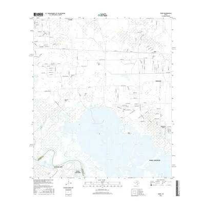 2016 Terry2016 Print · USGSCoastal Texas industry and marshland meet in the mid-2010s as the suburbs of Beaumont and Port Arthur expand into the bayous. Genealogists and local historians can trace small burial grounds like Kishi Colony Cem and Floyd Cem tucked between the Neches River and the expanding streets of Vidor.
 - 2016 Map of Texla, 2016 Print
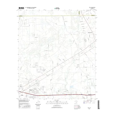 2016 Texla2016 Print · USGSSoutheast Texas at the edge of the coastal marshes is captured here during a period of suburban expansion and rural persistence. Genealogists and local historians can locate Singleton Cemetery, trace the rail corridor along East Railroad St, and explore the reaches of Cow Bayou.
 - 2016 Map of Pine Forest, 2016 Print
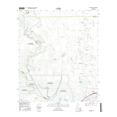 2016 Pine Forest2016 Print · USGSSoutheast Texas at the edge of the Big Thicket is captured here as suburban growth meets protected coastal wetlands. Researchers can trace family sites at Williamson Cem or follow the winding Neches River past Bunns Bluff and Lakeview.
 - 2016 Map of Beaumont East, 2016 Print
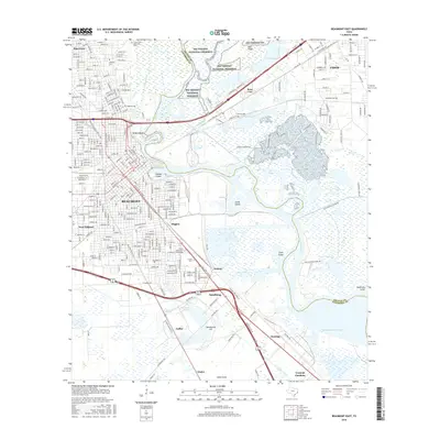 2016 Beaumont East2016 Print · USGSSoutheast Texas at the turn of the 2010s shows a landscape where industrial waterways and urban centers meet coastal marshes. Genealogists and historians can trace family plots at Magnolia Cemetery or study the growth of Lamar University and Rose City.
 - 2019 Map of Beaumont East, 2019 Print
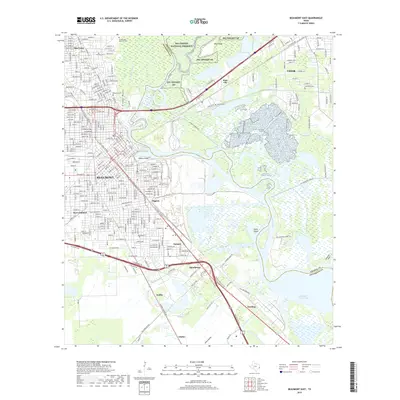 2019 Beaumont East2019 Print · USGSThe industrial and natural landscape of Southeast Texas is captured here in the late 2010s as the Neches River splits the Jefferson and Orange county lines. Researchers can trace the heritage of the oil era near Spindletop and locate historic burial sites like Magnolia Cem and Sullivan Cem.
 - 2019 Map of Pine Forest, 2019 Print
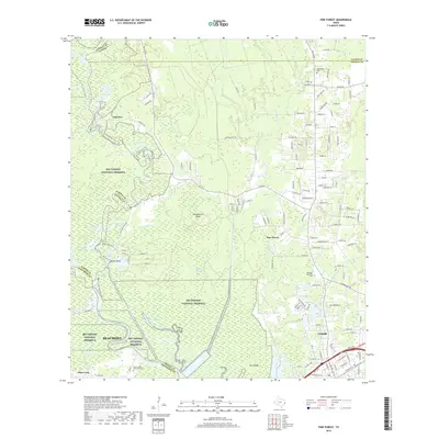 2019 Pine Forest2019 Print · USGSCoastal Texas woodlands and river bends define the landscape north of Beaumont in the late 2010s. Researchers can trace the boundaries of the Big Thicket National Preserve and locate sites like Williamson Cem or the waters of Bunns Bluff.
 - 2019 Map of Texla, 2019 Print
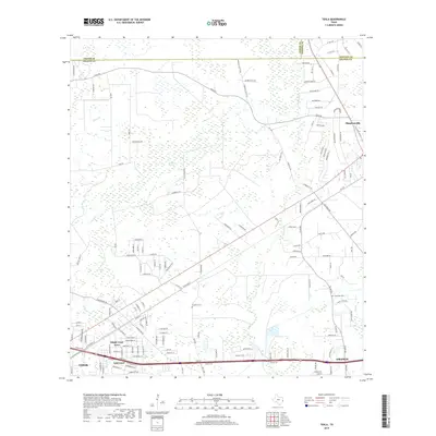 2019 Texla2019 Print · USGSThe borderlands of Orange, Jasper, and Newton Counties appear here in the late 2010s as suburban growth meets the Texas marshlands. Researchers can trace local heritage at Singleton Cem or follow the development of Mauriceville and Lakewood.
 - 2019 Map of Terry, 2019 Print
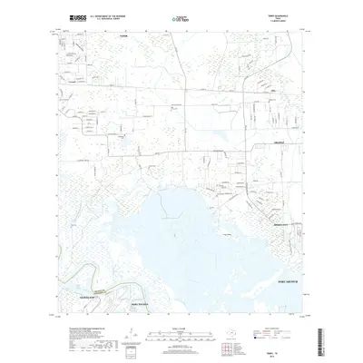 2019 Terry2019 Print · USGSSoutheast Texas in the late 2010s reveals a landscape of industrial riverfronts and intricate bayous. Researchers can trace family history through several rural burial sites like Kishi Colony Cem and Adcock Cem or locate the small settlement of Oilla.
End of results
Showing maps 1-16 of 16
Top cities near Vidor
- Beaumont historical maps
- Port Arthur historical maps
- Orange historical maps
- Nederland historical maps
- Groves historical maps
- Port Neches historical maps
See more
Top neighborhoods of Vidor
Frequently asked questions
- What are the different types of historical maps available for Vidor?
- What is the oldest map of Vidor?
- Where can I purchase historical maps of Vidor for my home or office?
- Where can I download high-res historical maps of Vidor?
- Are there historical topographic maps available for Vidor?
- Is there historical aerial imagery available for Vidor?
- Where are historical maps of Vidor sourced from?