Old Maps of Ryan, Texas for Academic Research
Study the evolution of Ryan with 10 high-resolution historic maps. Whether you're teaching, researching, or modeling changes in land use, these maps provide essential visual documentation of urban, environmental, and geographic change.
- Analyze long-term change: Track patterns in development, transportation, and natural features.
- Ideal for environmental or urban studies: Support academic projects with primary historical map data.
- Use in the classroom or lab: Educators and researchers rely on these maps to bring historical context to life.
These maps are a powerful tool for teaching, research, and visualizing how Ryan has changed over the decades.
Ryan, TX maps
(10)- 1895 Map of Marfa
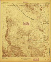 1895 Marfa1895 Print · USGSMarfa and the high desert plains of West Texas are captured here in the late nineteenth century as the railroad began to transform the frontier. Genealogists and historians can trace early outposts like Humphris, the Stage Stand, and the Southern Pacific R. R.5 unique versions available
 - 1959 Map of Marfa, 1976 Print
 1959 Marfa1976 Print · USGSThe Trans-Pecos frontier is captured here in the mid-twentieth century as cattle ranching and high-altitude science shaped the landscape. Researchers can trace the Southern Pacific rail line through Valentine or locate remote border outposts like Ruidosa and Indian Hot Springs Resort.2 unique versions available
 - 1965 Map of Marfa
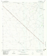
 1965 Marfa1965 Print · USGSBig Bend ranching and high-desert rail travel come together in the 1960s along the Rio Grande and the southern reaches of the Davis Mountains. Researchers can trace the lineage of cattle outfits like Brite Ranch and historic stops like Valentine and Candelaria.
 - 1983 Map of Ryan
 1983 Ryan1983 Print · USGSThe High Plains of West Texas are captured here in the early eighties as the Southern Pacific railroad crosses the expanse of Ryan Flat. Researchers can trace the layout of the small settlement of Ryan or locate remote sites like Evans Ranch and Horseshoe Tank.
 - 1985 Map of Marfa
 1985 Marfa1985 Print · USGSPresidio County's high plains and river border are captured here in the mid-eighties as a remote ranching and rail landscape. Researchers can locate the Southern Pacific line through Marfa, the border settlement of Candelaria, and the Loma Plata Mine.2 unique versions available
 - 2010 Map of Ryan, 2010 Print
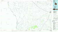
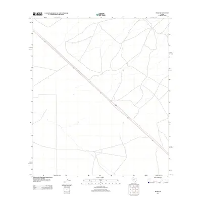
 2010 Ryan2010 Print · USGSCovers Ryan, including Presidio County, Jeff Davis County, and other nearby areas
 - 2012 Map of Ryan, 2012 Print
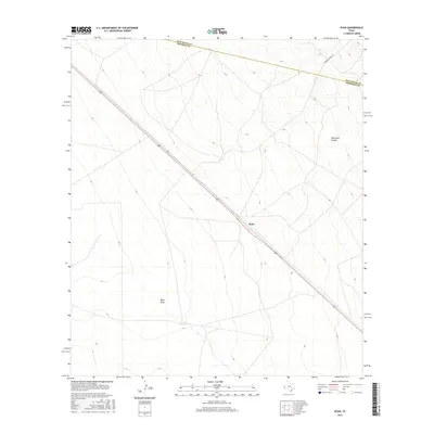
 2012 Ryan2012 Print · USGSCovers Ryan, including Presidio County, Jeff Davis County, and other nearby areas
 - 2016 Map of Ryan, 2016 Print
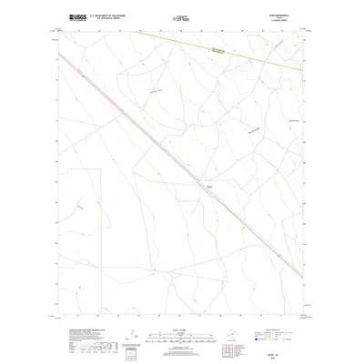
 2016 Ryan2016 Print · USGSCovers Ryan, including Presidio County, Jeff Davis County, and other nearby areas
 - 2019 Map of Ryan, 2019 Print
 2019 Ryan2019 Print · USGSCovers Ryan, including Presidio County, Jeff Davis County, and other nearby areas
 - 2022 Map of Ryan, 2022 Print
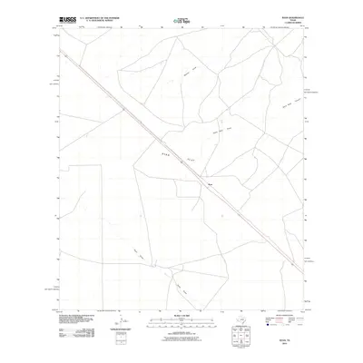
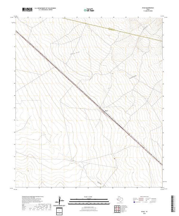 2022 Ryan2022 Print · USGSPresidio County's high-desert ranchlands appear here as they were in recent years, centered on the small settlement of Ryan along Highway 90. Trace the seasonal watercourses of Medley Draw and Owls Nest Canyon as they carve through this West Texas landscape.
End of results
Showing maps 1-10 of 10
Top cities near Ryan
Frequently asked questions
- What are the different types of historical maps available for Ryan?
- What is the oldest map of Ryan?
- Where can I purchase historical maps of Ryan for my home or office?
- Where can I download high-res historical maps of Ryan?
- Are there historical topographic maps available for Ryan?
- Is there historical aerial imagery available for Ryan?
- Where are historical maps of Ryan sourced from?