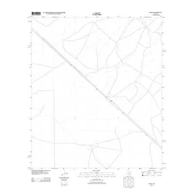
2012 Map of Ryan
USGS Topo · Published 2012About this map
Ryan is the primary landmark on this sparse high-desert landscape in Presidio County, situated along the corridor of Highway 90. The area is characterized by open terrain with intermittent watercourses and a network of unpaved local roads that branch out from the main highway. As a small settlement in the Big Bend region, Ryan sits within a vast expanse where the development pattern is defined by the proximity to the roadway and the natural drainage features that cut through the desert floor. This 2012 survey provides a clear view of the modern road network and basic infrastructure of this corner of West Texas, offering a precise digital record of the land before further environmental or development changes occurred.
Find a feature on this map
2 named features on this map. Tap any name to fly to it.
Don’t see what you’re looking for? This feature index may not catch every label — zoom into the map to look around manually.
Map Details
Editions of this 2012 Ryan Map
This is the sole edition of this map. No revisions or reprints were ever made.
Other maps of this area
1894 · Valentine
USGS Topo · 1:125,000
1895 · Marfa
USGS Topo · 1:125,000
1897 · Valentine
USGS Topo · 1:125,000
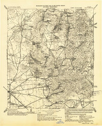
1943 · Valentine
USGS Topo · 1:125,000
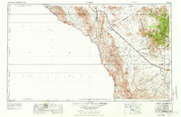
1959 · Marfa
USGS Topo · 1:250,000
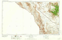
1965 · Marfa
USGS Topo · 1:250,000
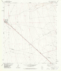
1978 · Valentine East
USGS Topo · 1:24,000
1978 · Paradise Mountain
USGS Topo · 1:24,000
1978 · San Antonio Pass
USGS Topo · 1:24,000
1983 · Ryan
USGS Topo · 1:24,000