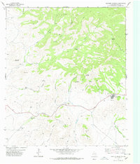
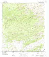
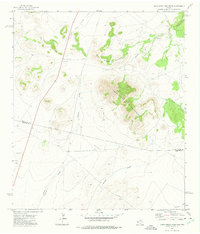
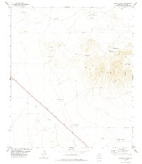
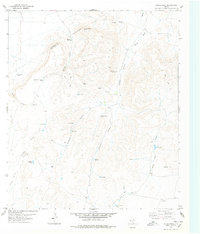
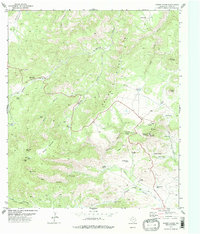
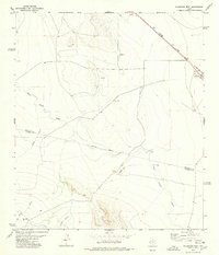
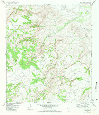
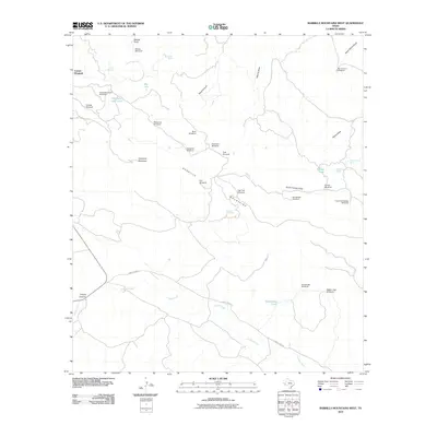
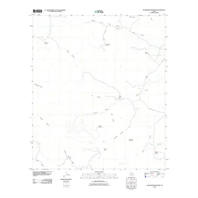
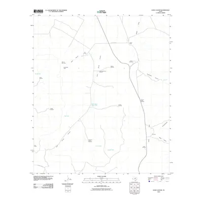
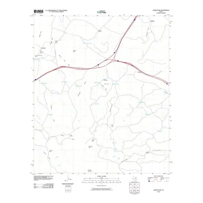
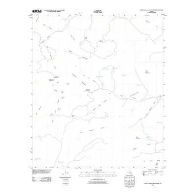
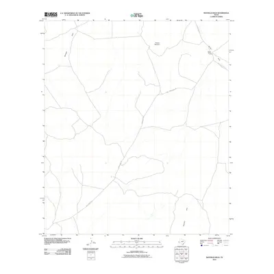
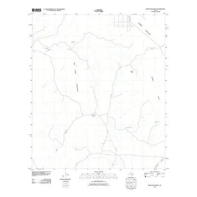
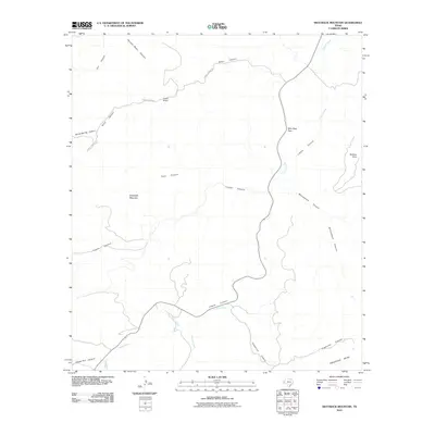
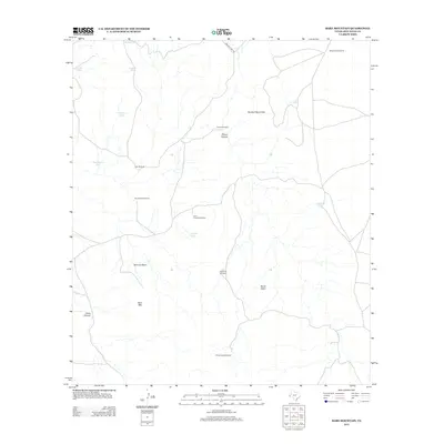
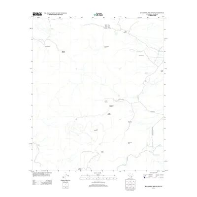
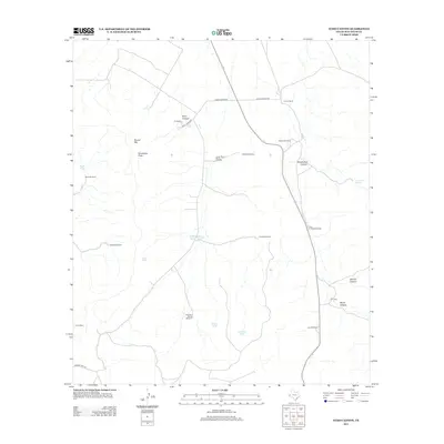
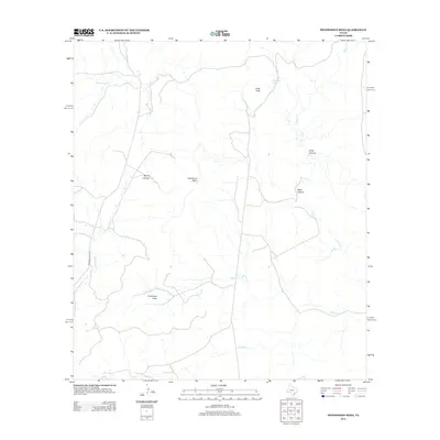
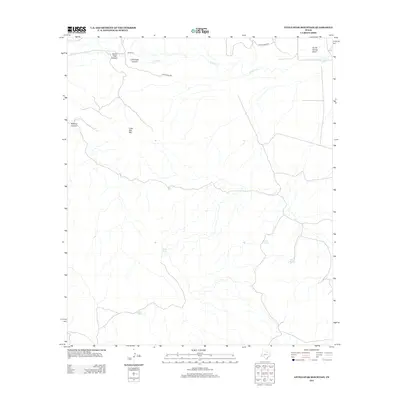
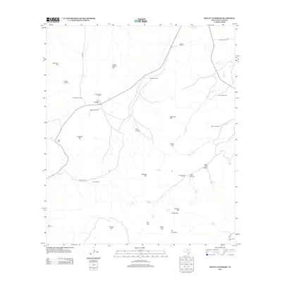
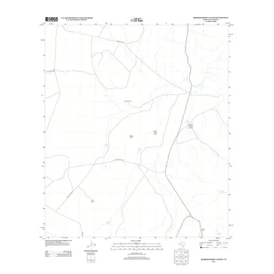
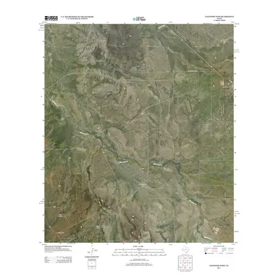
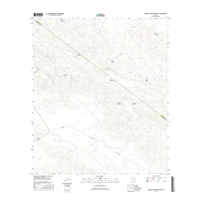
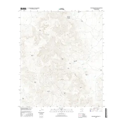
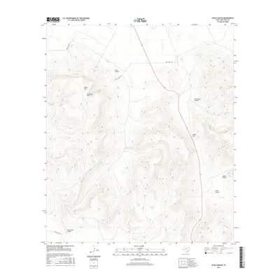
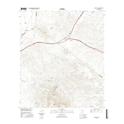
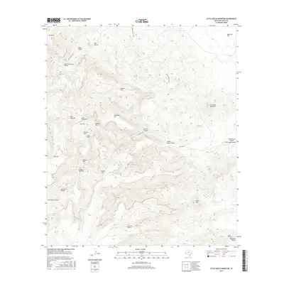
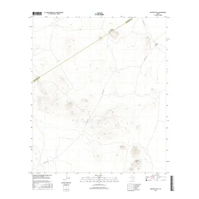
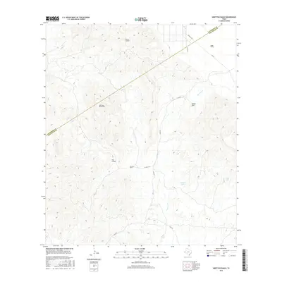
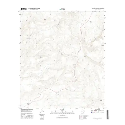
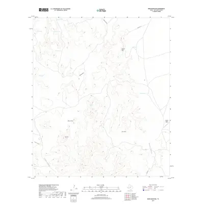
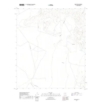
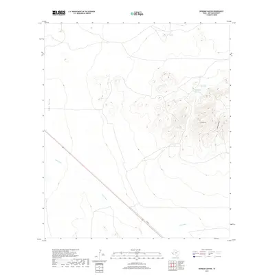
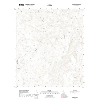
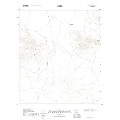
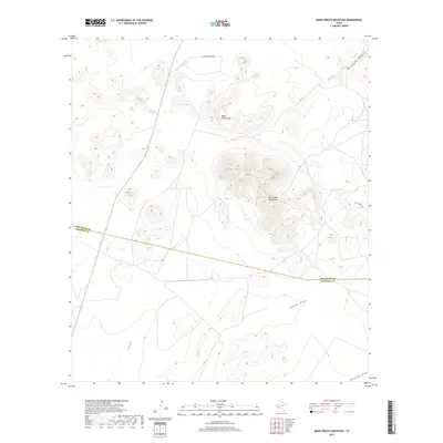
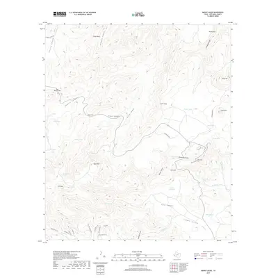
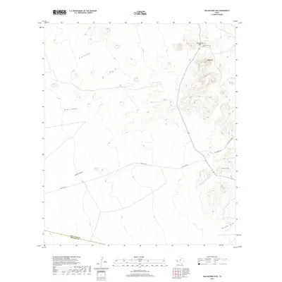
1978 Map of Paradise Mountain
USGS Topo · Published 1978About this map
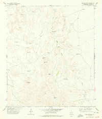
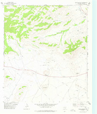
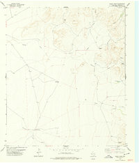
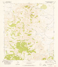
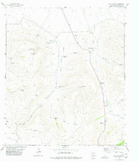
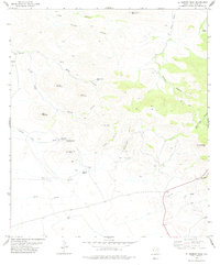
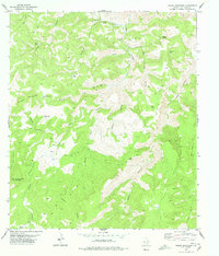
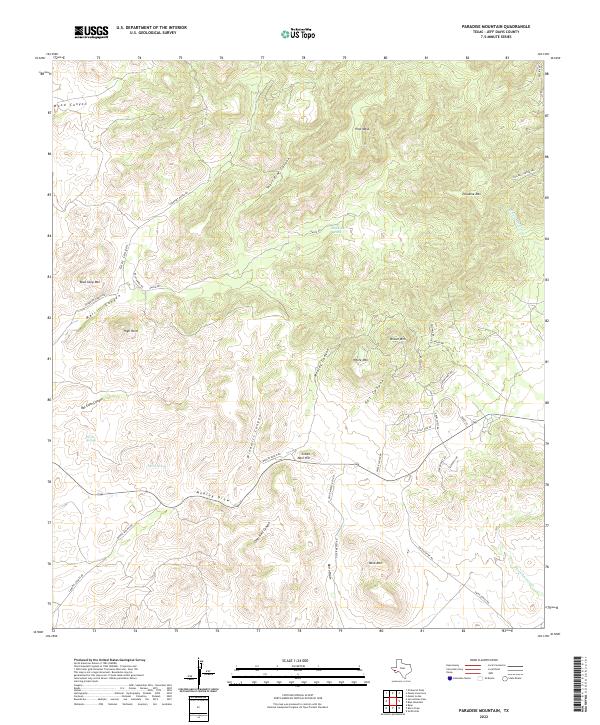
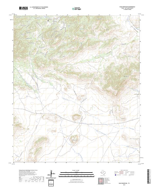
Bloys Camp Meeting and its associated Grave sit at the intersection of high desert terrain and seasonal watercourses in the late 1970s. This survey of Jeff Davis County illustrates a landscape of isolation and strategic water management, where named features often revolve around reliable sources like Barrel Spring and the Blackeye Tank. The topography is defined by significant elevations, including Paradise Mountain and White Mountain, which loom over a network of canyons such as Wood Canyon and Merrill Canyon. Evidence of early 20th-century religious traditions is preserved at the camp meeting grounds, while the presence of a Landing Strip and various Prospects suggests the continued modern utility of this remote area. The drainage system of the North Fork Alamito Creek and South Fork Alamito Creek provides a clear view of the region's natural watershed in the Davis Mountains area.
Find a feature on this map
35 named features on this map. Tap any name to fly to it.
Don’t see what you’re looking for? This feature index may not catch every label — zoom into the map to look around manually.
Map Details
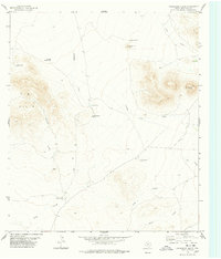
Editions of this 1978 Paradise Mountain Map
This is the sole edition of this map. No revisions or reprints were ever made.
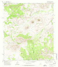
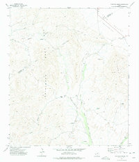
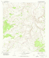
Historical Maps of Jeff Davis County Through Time
199 maps found
1970 Gomez Peak
Jeff Davis County, TX
1972 Antelope Flat
Jeff Davis County, TX
1972 Big Aguja Mountain
Jeff Davis County, TX
1972 Casket Mountain
Jeff Davis County, TX
1972 Chispa
Jeff Davis County, TX
1972 Fort Davis SE
Jeff Davis County, TX
1972 Little Aguja Mountain
Jeff Davis County, TX
1972 Mano Prieto Mountain
Jeff Davis County, TX
1972 Mitre Peak
Jeff Davis County, TX
1972 Ninetysix Ranch
Jeff Davis County, TX
1972 Swayback Mountain
Jeff Davis County, TX
1978 Bare Mountain
Jeff Davis County, TX
1978 Blue Mountain
Jeff Davis County, TX
1978 Boggy Draw
Jeff Davis County, TX
1978 Buckhorn Mountain
Jeff Davis County, TX
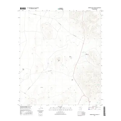
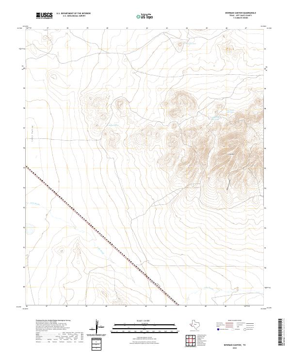
1978 Dowman Canyon
Jeff Davis County, TX
1978 Echo Canyon
Jeff Davis County, TX
1978 El Muerto Peak
Jeff Davis County, TX
1978 Friend Mountain
Jeff Davis County, TX
1978 Herds Pass
Jeff Davis County, TX
1978 Horseshoe Butte
Jeff Davis County, TX
1978 Mayfield Hills
Jeff Davis County, TX
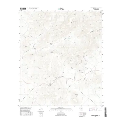
1978 Mount Livermore
Jeff Davis County, TX
1978 Mount Locke
Jeff Davis County, TX
1978 Paradise Mountain
Jeff Davis County, TX
1978 Robbers Roost Canyon
Jeff Davis County, TX
1978 San Antonio Pass
Jeff Davis County, TX
1978 Valentine East
Jeff Davis County, TX
1978 Valentine West
Jeff Davis County, TX
1980 Barrilla Mountains West
Jeff Davis County, TX
1980 Henderson Mesa
Jeff Davis County, TX
1980 Little Star Mountain
Jeff Davis County, TX
1980 Major Peak
Jeff Davis County, TX
1985 Mount Livermore
Jeff Davis County, TX
2010 Antelope Flat
Jeff Davis County, TX
2010 Bare Mountain
Jeff Davis County, TX
2010 Barrilla Mountains West
Jeff Davis County, TX
2010 Big Aguja Mountain
Jeff Davis County, TX
2010 Blue Mountain
Jeff Davis County, TX
2010 Boggy Draw
Jeff Davis County, TX
2010 Buckhorn Mountain
Jeff Davis County, TX
2010 Casket Mountain
Jeff Davis County, TX
2010 Chispa
Jeff Davis County, TX
2010 Dowman Canyon
Jeff Davis County, TX
2010 Echo Canyon
Jeff Davis County, TX
2010 El Muerto Peak
Jeff Davis County, TX
2010 Fort Davis SE
Jeff Davis County, TX
2010 Friend Mountain
Jeff Davis County, TX
2010 Gomez Peak
Jeff Davis County, TX
2010 Henderson Mesa
Jeff Davis County, TX
2010 Herds Pass
Jeff Davis County, TX
2010 Horseshoe Butte
Jeff Davis County, TX
2010 Little Aguja Mountain
Jeff Davis County, TX
2010 Little Star Mountain
Jeff Davis County, TX
2010 Major Peak
Jeff Davis County, TX
2010 Mano Prieto Mountain
Jeff Davis County, TX
2010 Mayfield Hills
Jeff Davis County, TX
2010 Mitre Peak
Jeff Davis County, TX
2010 Mount Livermore
Jeff Davis County, TX
2010 Mount Locke
Jeff Davis County, TX
2010 Ninetysix Ranch
Jeff Davis County, TX
2010 Paradise Mountain
Jeff Davis County, TX
2010 Robbers Roost Canyon
Jeff Davis County, TX
2010 San Antonio Pass
Jeff Davis County, TX
2010 Swayback Mountain
Jeff Davis County, TX
2010 Valentine East
Jeff Davis County, TX
2010 Valentine West
Jeff Davis County, TX
2012 Antelope Flat
Jeff Davis County, TX
2012 Bare Mountain
Jeff Davis County, TX

2012 Barrilla Mountains West
Jeff Davis County, TX
2012 Big Aguja Mountain
Jeff Davis County, TX
2012 Blue Mountain
Jeff Davis County, TX
2012 Boggy Draw
Jeff Davis County, TX
2012 Buckhorn Mountain
Jeff Davis County, TX
2012 Casket Mountain
Jeff Davis County, TX
2012 Chispa
Jeff Davis County, TX
2012 Dowman Canyon
Jeff Davis County, TX
2012 Echo Canyon
Jeff Davis County, TX
2012 El Muerto Peak
Jeff Davis County, TX
2012 Fort Davis SE
Jeff Davis County, TX
2012 Friend Mountain
Jeff Davis County, TX
2012 Henderson Mesa
Jeff Davis County, TX
2012 Herds Pass
Jeff Davis County, TX
2012 Horseshoe Butte
Jeff Davis County, TX
2012 Little Aguja Mountain
Jeff Davis County, TX
2012 Little Star Mountain
Jeff Davis County, TX
2012 Major Peak
Jeff Davis County, TX
2012 Mano Prieto Mountain
Jeff Davis County, TX

2012 Mayfield Hills
Jeff Davis County, TX
2012 Mitre Peak
Jeff Davis County, TX
2012 Mount Livermore
Jeff Davis County, TX
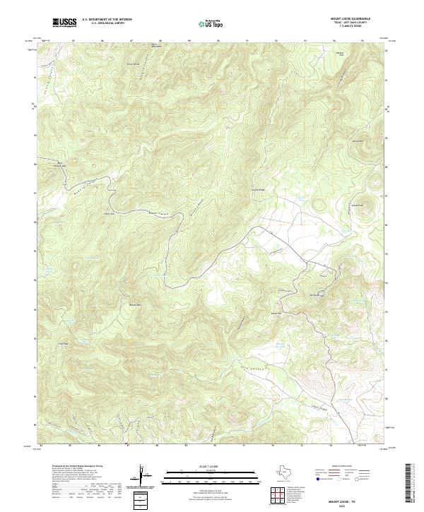
2012 Mount Locke
Jeff Davis County, TX
2012 Ninetysix Ranch
Jeff Davis County, TX
2012 Paradise Mountain
Jeff Davis County, TX
2012 Robbers Roost Canyon
Jeff Davis County, TX
2012 San Antonio Pass
Jeff Davis County, TX
2012 Swayback Mountain
Jeff Davis County, TX
2012 Valentine East
Jeff Davis County, TX
2012 Valentine West
Jeff Davis County, TX
2013 Gomez Peak
Jeff Davis County, TX
2016 Antelope Flat
Jeff Davis County, TX
2016 Bare Mountain
Jeff Davis County, TX
2016 Barrilla Mountains West
Jeff Davis County, TX
2016 Big Aguja Mountain
Jeff Davis County, TX
2016 Blue Mountain
Jeff Davis County, TX
2016 Boggy Draw
Jeff Davis County, TX
2016 Buckhorn Mountain
Jeff Davis County, TX
2016 Casket Mountain
Jeff Davis County, TX
2016 Chispa
Jeff Davis County, TX
2016 Dowman Canyon
Jeff Davis County, TX
2016 Echo Canyon
Jeff Davis County, TX
2016 El Muerto Peak
Jeff Davis County, TX
2016 Fort Davis SE
Jeff Davis County, TX
2016 Friend Mountain
Jeff Davis County, TX
2016 Gomez Peak
Jeff Davis County, TX
2016 Henderson Mesa
Jeff Davis County, TX
2016 Herds Pass
Jeff Davis County, TX
2016 Horseshoe Butte
Jeff Davis County, TX
2016 Little Aguja Mountain
Jeff Davis County, TX
2016 Little Star Mountain
Jeff Davis County, TX
2016 Major Peak
Jeff Davis County, TX
2016 Mano Prieto Mountain
Jeff Davis County, TX
2016 Mayfield Hills
Jeff Davis County, TX
2016 Mitre Peak
Jeff Davis County, TX
2016 Mount Livermore
Jeff Davis County, TX
2016 Mount Locke
Jeff Davis County, TX
2016 Ninetysix Ranch
Jeff Davis County, TX
2016 Paradise Mountain
Jeff Davis County, TX
2016 Robbers Roost Canyon
Jeff Davis County, TX
2016 San Antonio Pass
Jeff Davis County, TX
2016 Swayback Mountain
Jeff Davis County, TX
2016 Valentine East
Jeff Davis County, TX
2016 Valentine West
Jeff Davis County, TX
2019 Antelope Flat
Jeff Davis County, TX
2019 Bare Mountain
Jeff Davis County, TX
2019 Barrilla Mountains West
Jeff Davis County, TX
2019 Big Aguja Mountain
Jeff Davis County, TX
2019 Blue Mountain
Jeff Davis County, TX
2019 Boggy Draw
Jeff Davis County, TX
2019 Buckhorn Mountain
Jeff Davis County, TX
2019 Casket Mountain
Jeff Davis County, TX
2019 Chispa
Jeff Davis County, TX
2019 Dowman Canyon
Jeff Davis County, TX
2019 Echo Canyon
Jeff Davis County, TX
2019 El Muerto Peak
Jeff Davis County, TX
2019 Fort Davis SE
Jeff Davis County, TX
2019 Friend Mountain
Jeff Davis County, TX
2019 Gomez Peak
Jeff Davis County, TX
2019 Henderson Mesa
Jeff Davis County, TX
2019 Herds Pass
Jeff Davis County, TX
2019 Horseshoe Butte
Jeff Davis County, TX
2019 Little Aguja Mountain
Jeff Davis County, TX
2019 Little Star Mountain
Jeff Davis County, TX
2019 Major Peak
Jeff Davis County, TX
2019 Mano Prieto Mountain
Jeff Davis County, TX
2019 Mayfield Hills
Jeff Davis County, TX
2019 Mitre Peak
Jeff Davis County, TX
2019 Mount Livermore
Jeff Davis County, TX
2019 Mount Locke
Jeff Davis County, TX
2019 Ninetysix Ranch
Jeff Davis County, TX
2019 Paradise Mountain
Jeff Davis County, TX
2019 Robbers Roost Canyon
Jeff Davis County, TX
2019 San Antonio Pass
Jeff Davis County, TX
2019 Swayback Mountain
Jeff Davis County, TX
2019 Valentine East
Jeff Davis County, TX
2019 Valentine West
Jeff Davis County, TX
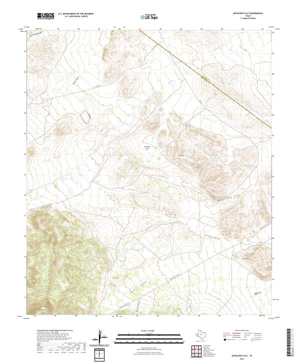
2022 Antelope Flat
Jeff Davis County, TX
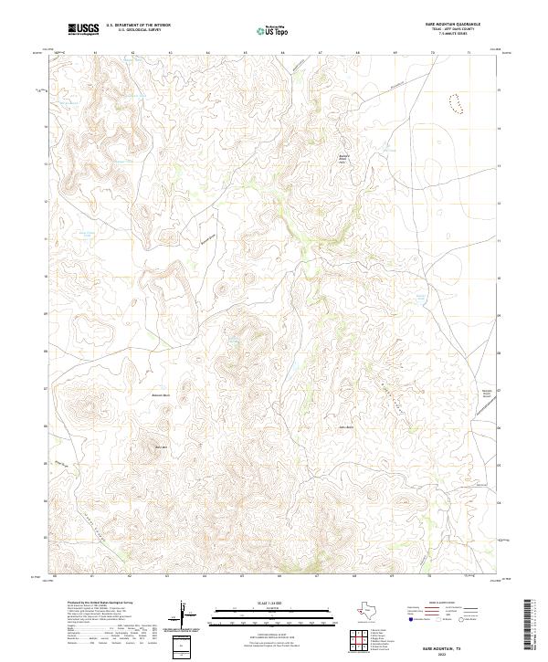
2022 Bare Mountain
Jeff Davis County, TX
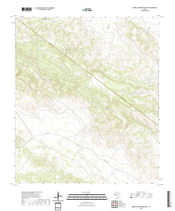
2022 Barrilla Mountains West
Jeff Davis County, TX
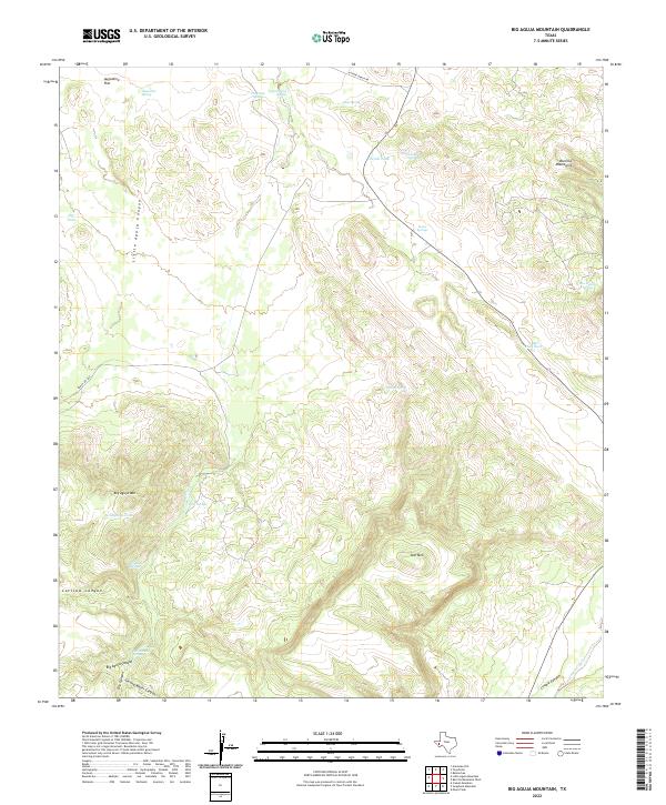
2022 Big Aguja Mountain
Jeff Davis County, TX
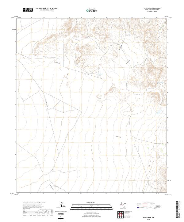
2022 Boggy Draw
Jeff Davis County, TX
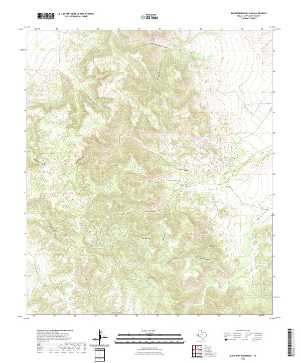
2022 Buckhorn Mountain
Jeff Davis County, TX
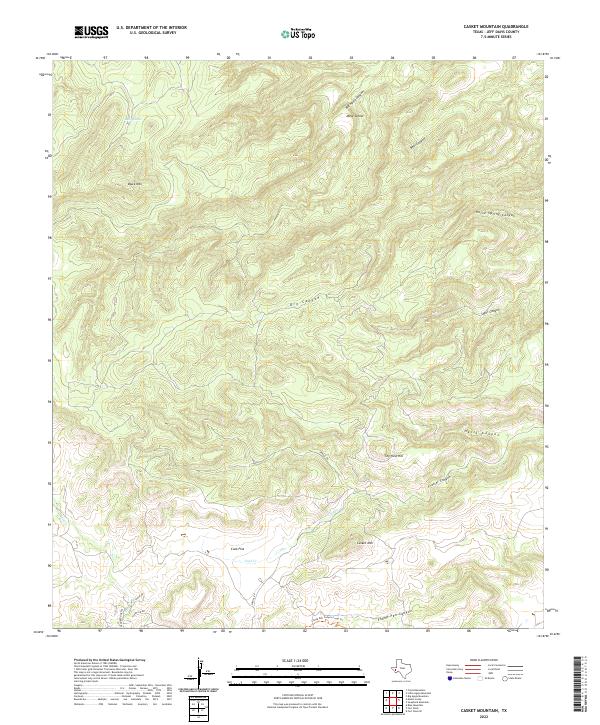
2022 Casket Mountain
Jeff Davis County, TX
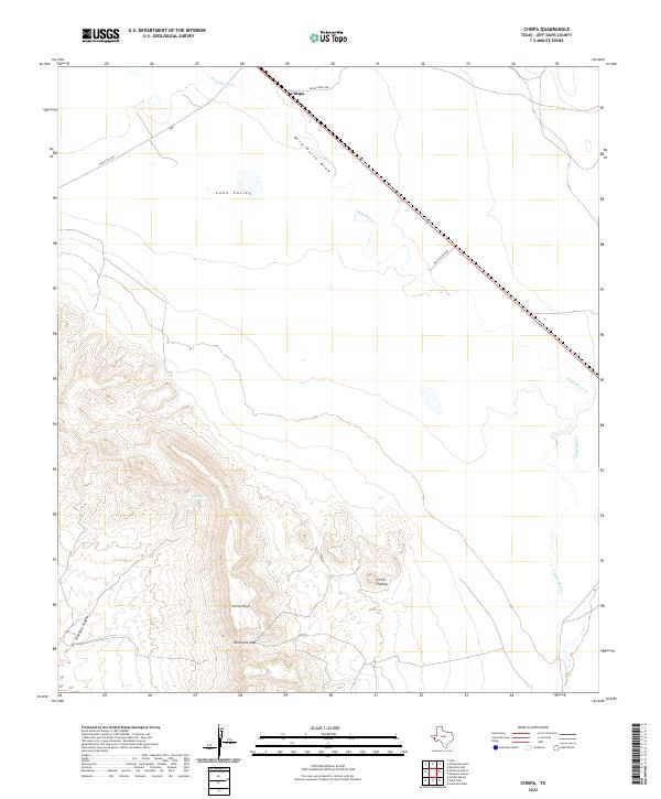
2022 Chispa
Jeff Davis County, TX
2022 Dowman Canyon
Jeff Davis County, TX
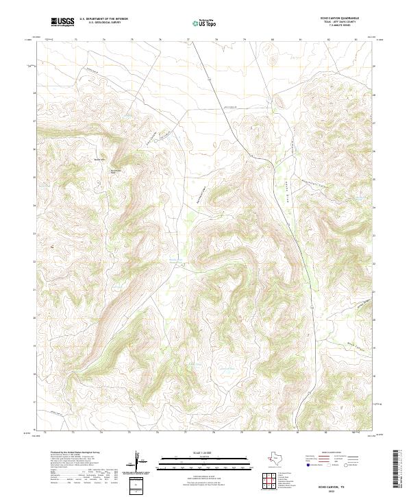
2022 Echo Canyon
Jeff Davis County, TX
2022 El Muerto Peak
Jeff Davis County, TX
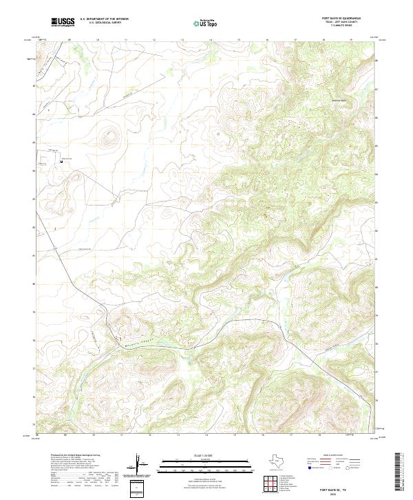
2022 Fort Davis SE
Jeff Davis County, TX
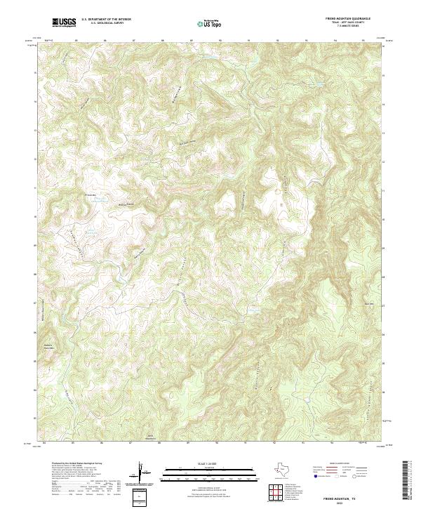
2022 Friend Mountain
Jeff Davis County, TX
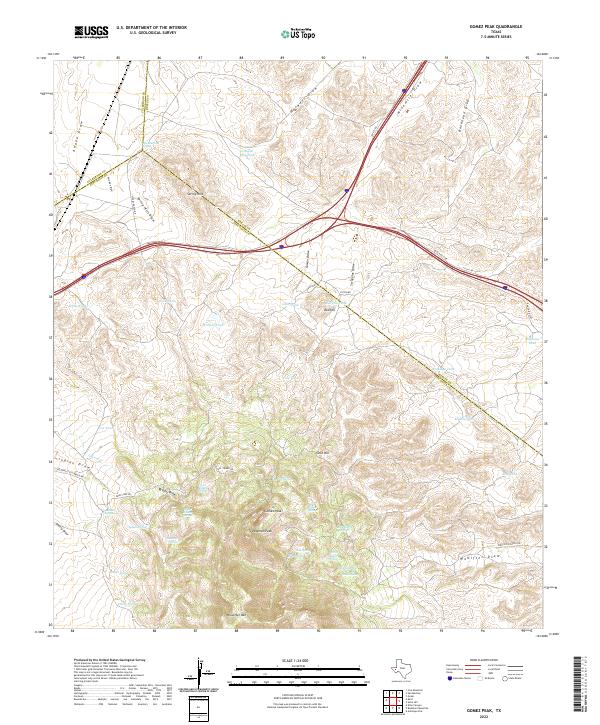
2022 Gomez Peak
Jeff Davis County, TX
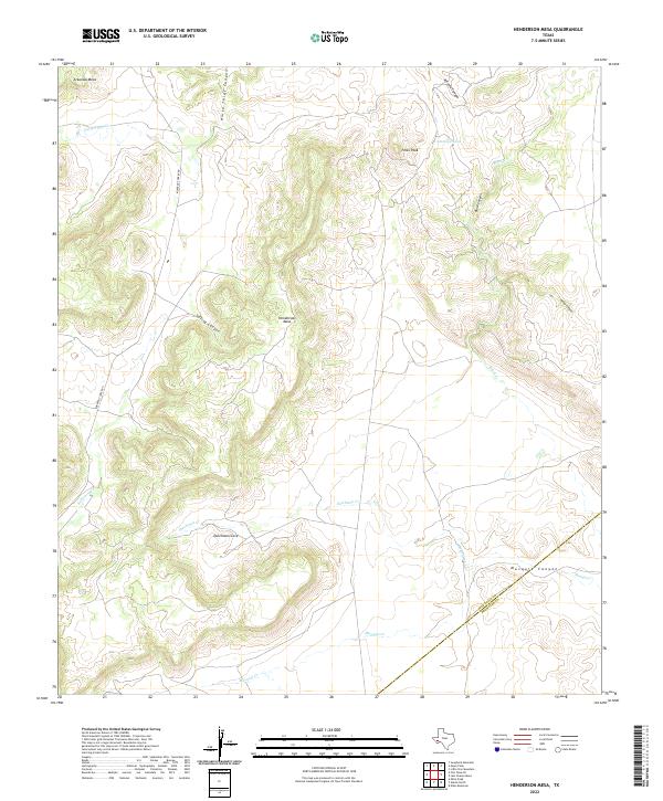
2022 Henderson Mesa
Jeff Davis County, TX
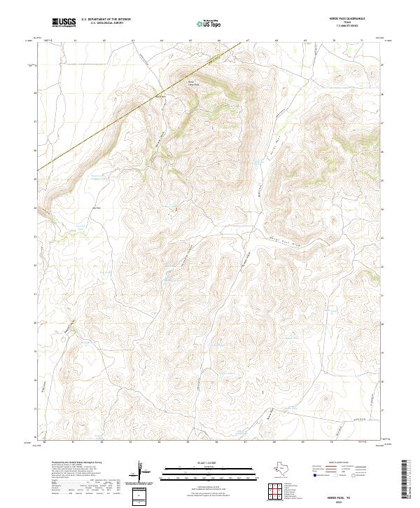
2022 Herds Pass
Jeff Davis County, TX
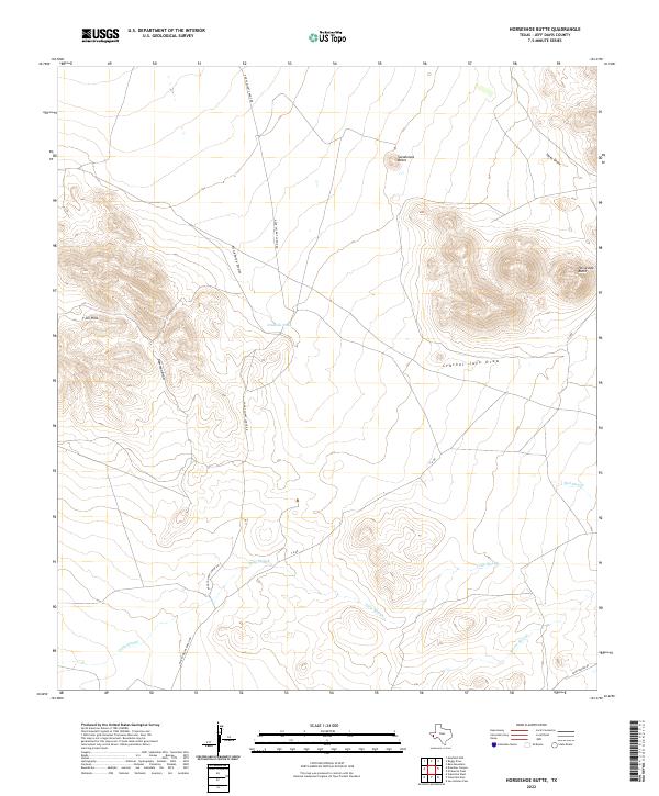
2022 Horseshoe Butte
Jeff Davis County, TX
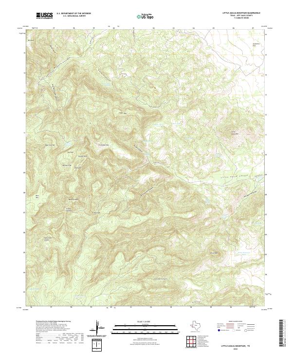
2022 Little Aguja Mountain
Jeff Davis County, TX
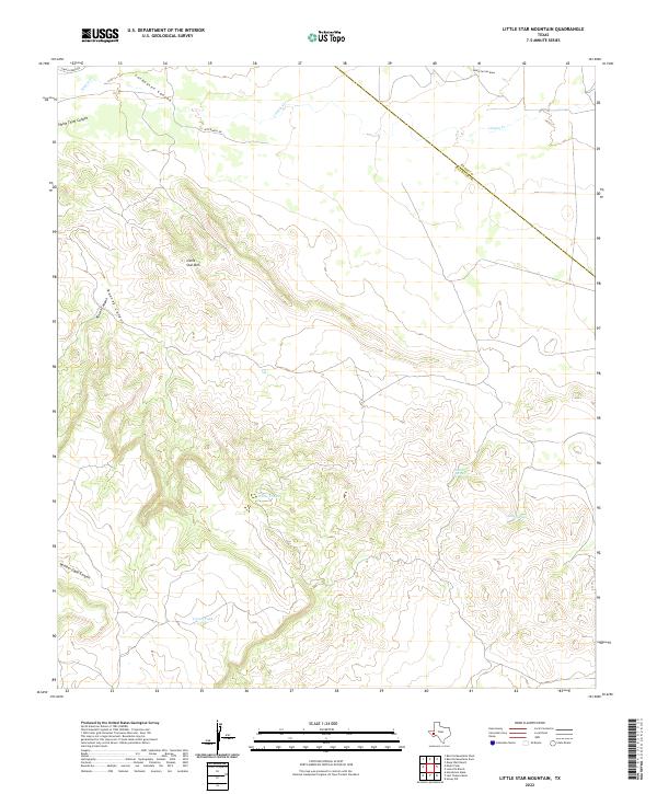
2022 Little Star Mountain
Jeff Davis County, TX
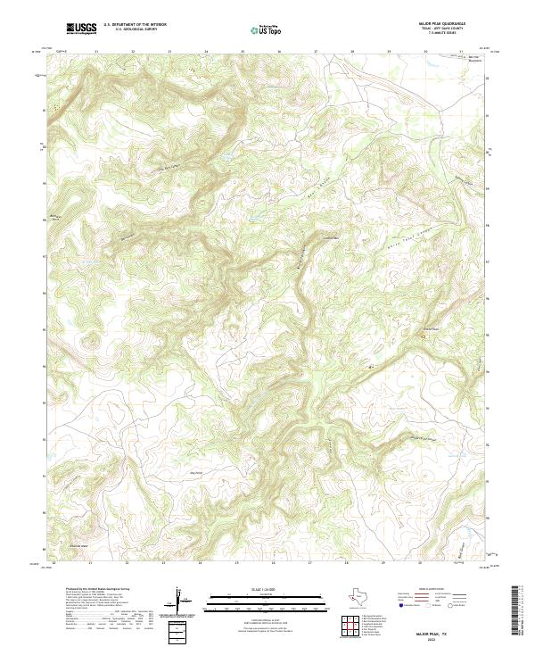
2022 Major Peak
Jeff Davis County, TX
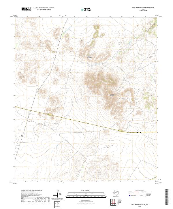
2022 Mano Prieto Mountain
Jeff Davis County, TX
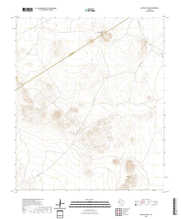
2022 Mayfield Hills
Jeff Davis County, TX
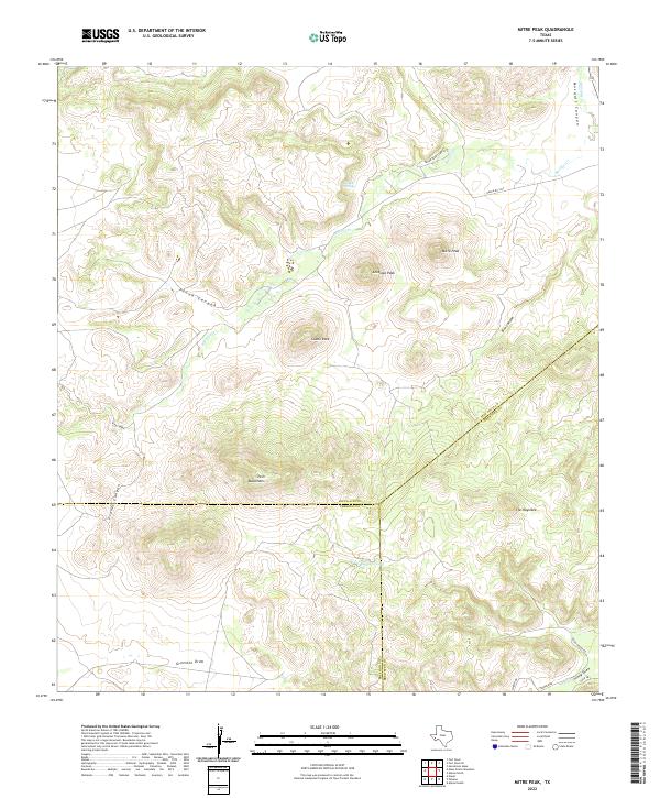
2022 Mitre Peak
Jeff Davis County, TX
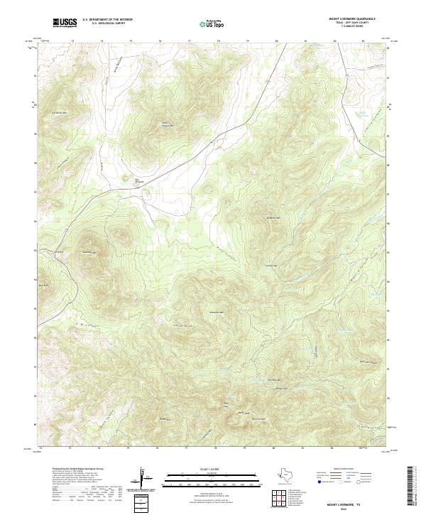
2022 Mount Livermore
Jeff Davis County, TX
2022 Mount Locke
Jeff Davis County, TX
2022 Ninetysix Ranch
Jeff Davis County, TX
2022 Paradise Mountain
Jeff Davis County, TX
2022 Robbers Roost Canyon
Jeff Davis County, TX
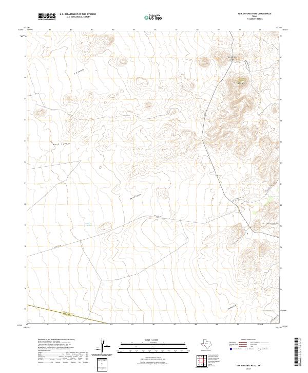
2022 San Antonio Pass
Jeff Davis County, TX
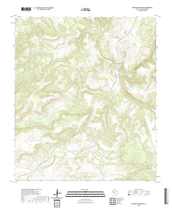
2022 Swayback Mountain
Jeff Davis County, TX
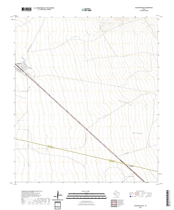
2022 Valentine East
Jeff Davis County, TX
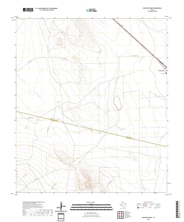
2022 Valentine West
Jeff Davis County, TX
2023 Blue Mountain
Jeff Davis County, TX