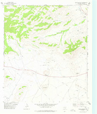
1978 Map of Blue Mountain
USGS Topo · Published 1978About this map
Limpia Mountain and Deer Mountain dominate the high country of the Davis Mountains in the late 1970s, where high-altitude ranching and remote infrastructure define the land. The map reveals the intricate drainage systems of Limpia Creek and the North Fork Cienega Creek, carving deep canyons like Brushy Canyon and Jones Canyon into the volcanic landscape.
Find a feature on this map
30 named features on this map. Tap any name to fly to it.
Don’t see what you’re looking for? This feature index may not catch every label — zoom into the map to look around manually.
Map Details
Editions of this 1978 Blue Mountain Map
This is the sole edition of this map. No revisions or reprints were ever made.
Other maps of this area

1894 · Valentine
USGS Topo · 1:125,000

1894 · Fort Davis
USGS Topo · 1:125,000

1895 · Marfa
USGS Topo · 1:125,000

1895 · Alpine
USGS Topo · 1:125,000

1897 · Valentine
USGS Topo · 1:125,000

1897 · Fort Davis
USGS Topo · 1:125,000

1943 · Valentine
USGS Topo · 1:125,000

1954 · Fort Stockton
USGS Topo · 1:250,000

1958 · Fort Stockton
USGS Topo · 1:250,000

1959 · Marfa
USGS Topo · 1:250,000