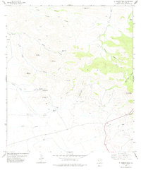
1978 Map of El Muerto Peak
USGS Topo · Published 1978About this map
El Muerto Peak rises over a landscape defined by ranching infrastructure and seasonal water sources in this high-desert region of West Texas. The importance of groundwater for livestock is evident through the numerous windmills and tanks distributed across the terrain, including Yates Windmill, the Cracker Jack Windmill, and the Old House Windmill near the Moore Ranch. Historically significant water points like El Muerto Spring (Dead Mans Hole) and drainage systems such as Red Slough and Moore Slough reflect the necessity of managing natural resources in this arid environment.
Find a feature on this map
36 named features on this map. Tap any name to fly to it.
Don’t see what you’re looking for? This feature index may not catch every label — zoom into the map to look around manually.
Map Details
Editions of this 1978 El Muerto Peak Map
This is the sole edition of this map. No revisions or reprints were ever made.
Other maps of this area

1894 · Valentine
USGS Topo · 1:125,000

1897 · Valentine
USGS Topo · 1:125,000

1943 · Valentine
USGS Topo · 1:125,000

1959 · Marfa
USGS Topo · 1:250,000

1965 · Marfa
USGS Topo · 1:250,000
1978 · Bare Mountain
USGS Topo · 1:24,000
1978 · Valentine East
USGS Topo · 1:24,000
1978 · Paradise Mountain
USGS Topo · 1:24,000
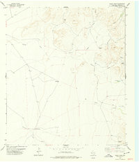
1978 · Boggy Draw
USGS Topo · 1:24,000
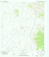
1978 · Robbers Roost Canyon
USGS Topo · 1:24,000