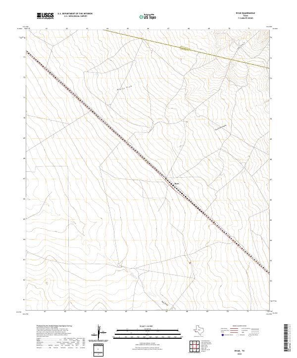
2022 Map of Ryan
USGS Topo · Published 2022About this map
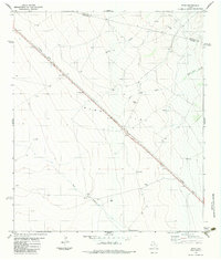
Ryan marks a quiet point of transition in Presidio County, situated along the diagonal path of Highway 90. This high-desert landscape is defined by its drainage patterns, most notably the wide courses of Medley Draw and Ryan Draw, which channel seasonal water through the scrubland. To the northeast, the terrain becomes more complex as it approaches Owls Nest Canyon, where the elevation begins to shift near the county line shared with Jeff Davis Co. The presence of S Barrel Springs Rd provides a singular point of access into the more varied topography of the northern section. This survey captures a modern look at a sparsely populated region of West Texas, where the infrastructure of the highway remains the primary anchor for the small settlement and the surrounding ranchlands.
Find a feature on this map
10 named features on this map. Tap any name to fly to it.
Don’t see what you’re looking for? This feature index may not catch every label — zoom into the map to look around manually.
Map Details
Editions of this 2022 Ryan Map
This is the sole edition of this map. No revisions or reprints were ever made.
Other maps of this area

1894 · Valentine
USGS Topo · 1:125,000

1895 · Marfa
USGS Topo · 1:125,000

1897 · Valentine
USGS Topo · 1:125,000

1943 · Valentine
USGS Topo · 1:125,000

1959 · Marfa
USGS Topo · 1:250,000

1965 · Marfa
USGS Topo · 1:250,000
1978 · Valentine East
USGS Topo · 1:24,000
1978 · Paradise Mountain
USGS Topo · 1:24,000
1978 · San Antonio Pass
USGS Topo · 1:24,000
1983 · Ryan
USGS Topo · 1:24,000