Old Maps of Point, Texas for Academic Research
Study the evolution of Point with 16 high-resolution historic maps. Whether you're teaching, researching, or modeling changes in land use, these maps provide essential visual documentation of urban, environmental, and geographic change.
- Analyze long-term change: Track patterns in development, transportation, and natural features.
- Ideal for environmental or urban studies: Support academic projects with primary historical map data.
- Use in the classroom or lab: Educators and researchers rely on these maps to bring historical context to life.
These maps are a powerful tool for teaching, research, and visualizing how Point has changed over the decades.
Point, TX maps
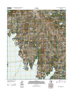
(16)- 1956 Map of Tyler
 1956 Tyler1956 Print · USGSEast Texas was a powerhouse of oil production and rail transport during the mid-fifties, centered on the sprawling East Texas Oil Field. Researchers can trace the heritage of industrial hubs like Kilgore, military sites such as the Longhorn Ordnance Works, and many rural landmarks like Mount Enterprise.5 unique versions available
 - 1956 Map of Emory, 1957 Print
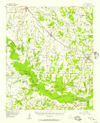 1956 Emory1957 Print · USGSRains County and its neighbors are shown here in the mid-fifties, just as the Sabine River valley prepared for the construction of the Iron Bridge Damsite. Genealogists can trace family roots through numerous small landmarks like Bright Star Ch, Cody Sch, and Parks Cem.3 unique versions available
 - 1980 Map of Emory North
 1980 Emory North1980 Print · USGSEast Texas at the turn of the 1980s reveals a landscape defined by its waterways and tight-knit rural communities. Genealogists can trace family heritage through numerous landmarks like Hill-Pippin Cem, County Line Ch, and the growing Lake Fork Reservoir.
 - 1984 Map of Tyler
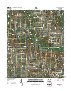
 1984 Tyler1984 Print · USGSEast Texas at the peak of its reservoir-building era shows a landscape defined by new lakes and established rail corridors. Trace the path of the St Louis Southwestern RR or locate industrial sites like the Longhorn Ordnance Works.3 unique versions available
 - 1985 Map of Mineola
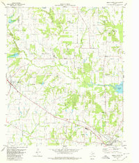
 1985 Mineola1985 Print · USGSUpper East Texas in the mid-eighties shows a region shaped by the Sabine River and large-scale water projects. Researchers can trace the rail heritage of the Missouri Pacific RR and locate rural landmarks like Ambassador College Res or the Oil Field.
 - 1991 Map of Mineola
 1991 Mineola1991 Print · USGSEast Texas in the early nineties reveals a landscape shaped by large-scale water reservoirs and the enduring footprint of the oil industry. Genealogists and historians can trace rail-town development in Mineola or explore smaller settlements like Bright Star and Garden Valley.
 - 2010 Map of Emory North, 2010 Print
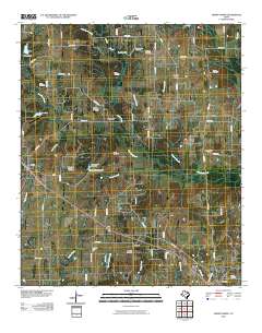 2010 Emory North2010 Print · USGSCovers Point, including Emory, Prospect, and other nearby areas
 - 2011 Map of Lone Oak South, 2011 Print
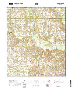
 2011 Lone Oak South2011 Print · USGSCovers Point, including West Tawakoni, East Tawakoni, and other nearby areas
 - 2012 Map of Lone Oak South, 2012 Print
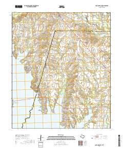
 2012 Lone Oak South2012 Print · USGSCovers Point, including West Tawakoni, East Tawakoni, and other nearby areas
 - 2012 Map of Emory North, 2012 Print
 2012 Emory North2012 Print · USGSCovers Point, including Emory, Prospect, and other nearby areas
 - 2016 Map of Emory North, 2016 Print
 2016 Emory North2016 Print · USGSCovers Point, including Emory, Prospect, and other nearby areas
 - 2016 Map of Lone Oak South, 2016 Print
 2016 Lone Oak South2016 Print · USGSCovers Point, including West Tawakoni, East Tawakoni, and other nearby areas
 - 2019 Map of Emory North, 2019 Print
 2019 Emory North2019 Print · USGSCovers Point, including Emory, Prospect, and other nearby areas
 - 2019 Map of Lone Oak South, 2019 Print
 2019 Lone Oak South2019 Print · USGSCovers Point, including West Tawakoni, East Tawakoni, and other nearby areas
 - 2022 Map of Lone Oak South, 2022 Print
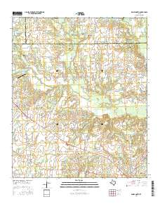
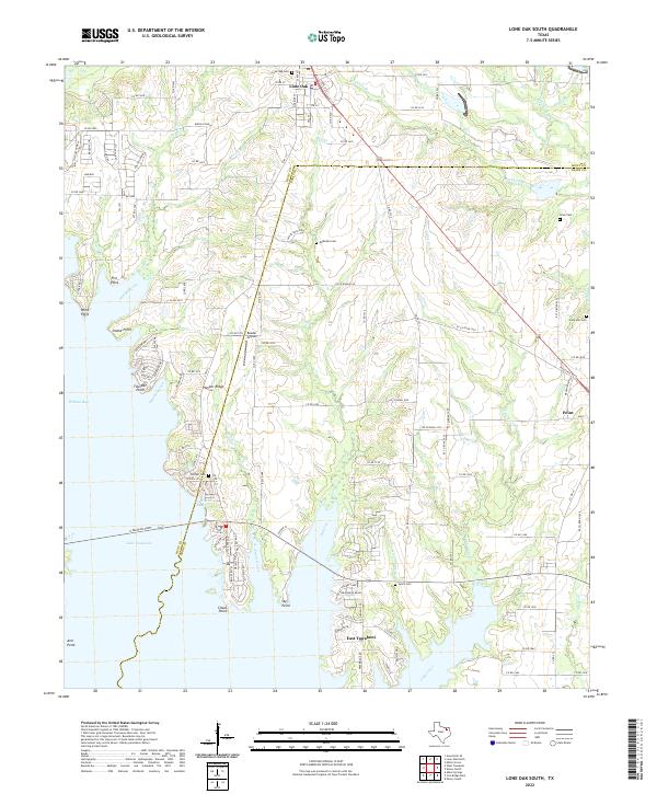 2022 Lone Oak South2022 Print · USGSThe Rains and Hunt County line at the dawn of the 2020s shows a landscape of deep reservoir coves and high-ground settlements. Genealogists and historians can trace local family roots through numerous sites like McMahan Cem, Hooker Cem, and Clark Cem.
 - 2022 Map of Emory North, 2022 Print
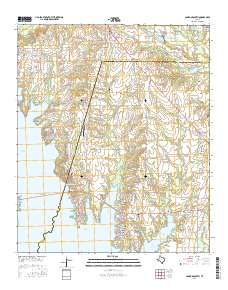
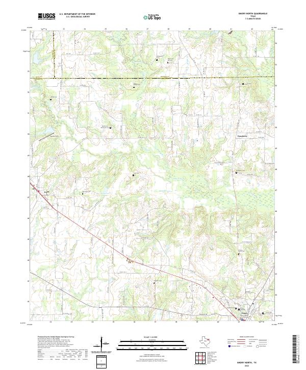 2022 Emory North2022 Print · USGSRains County in the early 2020s shows a landscape where small-town life meets a dense network of creek-fed bottomlands. Genealogists can locate numerous family burial sites including Parks Family Cem, Dougherty Cem, and Bellah Cem.
End of results
Showing maps 1-16 of 16
Top cities near Point
- Greenville historical maps
- Sulphur Springs historical maps
- Wills Point historical maps
- West Tawakoni historical maps
- West Tawakoni historical maps
- Emory historical maps
See more
Frequently asked questions
- What are the different types of historical maps available for Point?
- What is the oldest map of Point?
- Where can I purchase historical maps of Point for my home or office?
- Where can I download high-res historical maps of Point?
- Are there historical topographic maps available for Point?
- Is there historical aerial imagery available for Point?
- Where are historical maps of Point sourced from?