2020s Maps of Canyon, Texas
Explore 3 historic maps of Canyon from the 2020s. These maps offer a rare glimpse into what life looked like during the 2020s — showing old roads, neighborhoods, homes, and landmarks that have changed or disappeared over time.
Whether you're researching your family's past, planning a metal detecting trip, or studying how Canyon's landscape evolved across the 2020s, these high-resolution maps are a powerful tool for exploring the history of this region.
- Focus on a specific era: All maps on this page are from the 2020s, giving you a focused view of this time period.
- See what’s changed: Compare century-old streets, trails, and buildings to today's modern landscape using overlays and satellite layers.
- Research with precision: Use these maps for genealogy, historical research, land use analysis, or educational projects.
- View, download, or print: Maps are fully viewable online in high resolution, and can be downloaded or printed for your own records.
Start exploring Canyon's history through authentic maps from the 2020s. This is your window into the past.
Canyon, TX maps
(3)- 2022 Map of Nance Ranch, 2022 Print
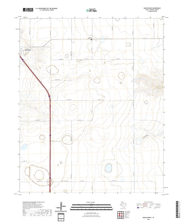 2022 Nance Ranch2022 Print · USGSTexas Panhandle ranch lands and the northern reaches of Canyon are captured here just as modern development meets traditional rural roads. Researchers can locate the Saint Paul Lutheran Cem and trace seasonal waterways like Sunday Cr and Corral Draw.
 - 2022 Map of Buffalo Stadium, 2022 Print
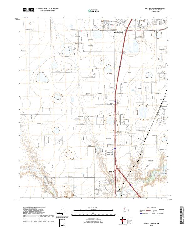 2022 Buffalo Stadium2022 Print · USGSRandall County's southern expansion is visible in this recent study of the corridor between two major West Texas hubs. Trace local developments and landmarks like Rockwell Place, Buffalo Airport, and the Memory Gardens Cem near the fork of the Red River.
 - 2022 Map of Canyon, 2022 Print
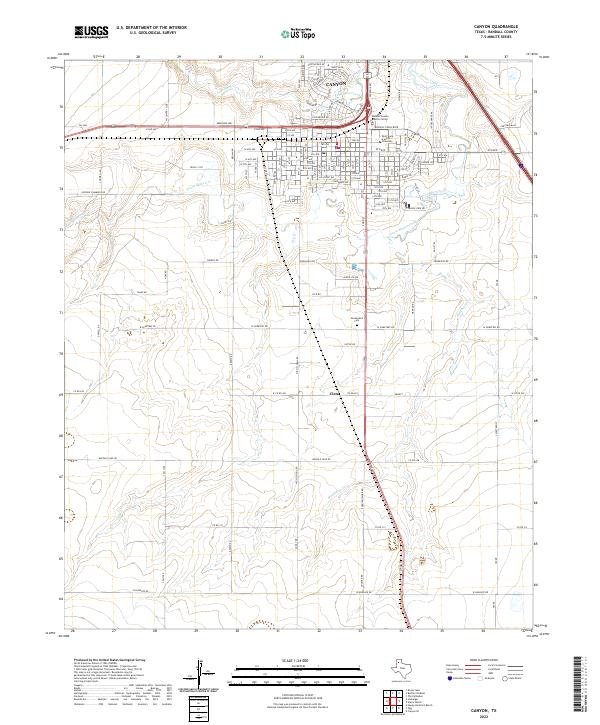 2022 Canyon2022 Print · USGSCanyon and the surrounding high plains of Randall County are captured here in the early twenty-first century as the city expands south. Researchers can trace the layout of West Texas A and M University or locate family sites near Cleta and Dreamland Cem.
End of results
Showing maps 1-3 of 3
Top cities near Canyon
- Amarillo historical maps
- Lake Tanglewood historical maps
- Timbercreek Canyon historical maps
- Palisades historical maps
Frequently asked questions
- What are the different types of historical maps available for Canyon?
- What is the oldest map of Canyon?
- Where can I purchase historical maps of Canyon for my home or office?
- Where can I download high-res historical maps of Canyon?
- Are there historical topographic maps available for Canyon?
- Is there historical aerial imagery available for Canyon?
- Where are historical maps of Canyon sourced from?