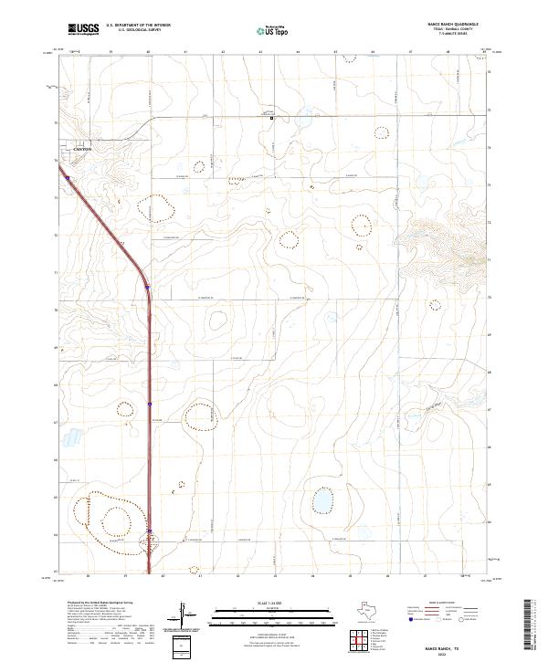
2022 Map of Nance Ranch
USGS Topo · Published 2022About this map
The High Plains of Randall County meet the expanding edge of Canyon in this topographical study. Located north of the city center, the landscape is defined by its transition from suburban street grids like Georgia St and S Washington St to the expansive ranch lands that characterize the Texas Panhandle. A significant cultural anchor is the Saint Paul Lutheran Cem along Highway 217, providing a primary point of reference for genealogists and local historians tracking early settlement patterns in the region.
Find a feature on this map
26 named features on this map. Tap any name to fly to it.
Don’t see what you’re looking for? This feature index may not catch every label — zoom into the map to look around manually.
Map Details
Editions of this 2022 Nance Ranch Map
This is the sole edition of this map. No revisions or reprints were ever made.
Other maps of this area

1954 · Amarillo
USGS Topo · 1:250,000

1954 · Plainview
USGS Topo · 1:250,000

1956 · Fortress Cliff
USGS Topo · 1:24,000

1956 · Thomas Ranch
USGS Topo · 1:24,000

1958 · Amarillo
USGS Topo · 1:250,000

1958 · Plainview
USGS Topo · 1:250,000

1960 · Canyon
USGS Topo · 1:62,500

1960 · The Palisades
USGS Topo · 1:24,000
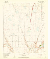
1960 · Buffalo Stadium
USGS Topo · 1:24,000

1960 · Wayside
USGS Topo · 1:62,500