Old Maps of Umbarger, Texas for Academic Research
Study the evolution of Umbarger with 10 high-resolution historic maps. Whether you're teaching, researching, or modeling changes in land use, these maps provide essential visual documentation of urban, environmental, and geographic change.
- Analyze long-term change: Track patterns in development, transportation, and natural features.
- Ideal for environmental or urban studies: Support academic projects with primary historical map data.
- Use in the classroom or lab: Educators and researchers rely on these maps to bring historical context to life.
These maps are a powerful tool for teaching, research, and visualizing how Umbarger has changed over the decades.
Umbarger, TX maps
(10)- 1954 Map of Clovis, 1966 Print
 1954 Clovis1966 Print · USGSThe High Plains of the Texas-New Mexico borderland come alive in this mid-century survey as the region's agricultural and rail networks reached their peak. Trace family roots and local history through features like Cannon AFB, the massive Sand Hills, and busy rail towns such as Friona and Littlefield.4 unique versions available
 - 1958 Map of Clovis
 1958 Clovis1958 Print · USGSThe High Plains of the New Mexico-Texas borderlands are captured here in the late fifties, during a period of significant military and agricultural expansion. Genealogists and historians can trace the rail-side growth of Clovis, the operations at Clovis Air Force Base, and the rural layout of communities like Muleshoe and Hereford.
 - 1961 Map of Buffalo Lake, 1964 Print
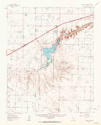 1961 Buffalo Lake1964 Print · USGSThe Texas Panhandle comes alive in the early sixties, showing the vital relationship between the Panhandle and Santa Fe railroad and local ranching life. Trace family roots and land use near Umbarger, St Mary Cem, and the Flying Mare Ranch.2 unique versions available
 - 1984 Map of Umbarger
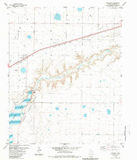 1984 Umbarger1984 Print · USGSThe High Plains of the Texas Panhandle are captured here in the mid-1980s, centered on the community of Umbarger. Genealogists and researchers can trace local landmarks like St Marys Cem or explore the hydrologic features of the Buffalo Lake National Wildlife Refuge.
 - 1985 Map of Hereford
 1985 Hereford1985 Print · USGSThe High Plains of the Texas Panhandle are captured here during the mid-eighties, a period defined by vast agricultural grids and critical rail corridors. Genealogists and local historians can trace the footprint of settlements like Hereford, Dimmitt, and Bovina, alongside the Buffalo Lake National Wildlife Refuge.2 unique versions available
 - 2010 Map of Umbarger, 2010 Print
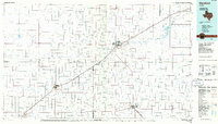
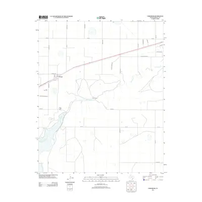
 2010 Umbarger2010 Print · USGSCovers Umbarger, including Randall County, United States, and other nearby areas
 - 2012 Map of Umbarger, 2012 Print
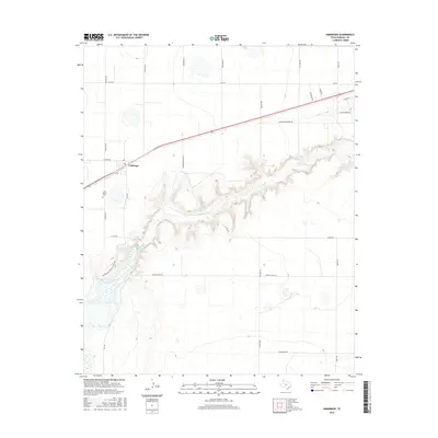
 2012 Umbarger2012 Print · USGSCovers Umbarger, including Randall County, United States, and other nearby areas
 - 2016 Map of Umbarger, 2016 Print
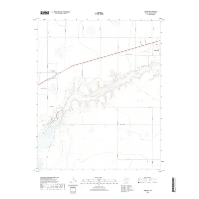
 2016 Umbarger2016 Print · USGSCovers Umbarger, including Randall County, United States, and other nearby areas
 - 2019 Map of Umbarger, 2019 Print
 2019 Umbarger2019 Print · USGSCovers Umbarger, including Randall County, United States, and other nearby areas
 - 2022 Map of Umbarger, 2022 Print
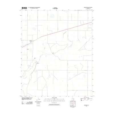
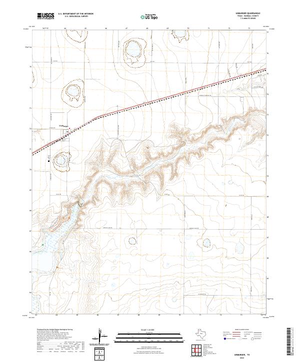 2022 Umbarger2022 Print · USGSUmbarger and the surrounding Texas Panhandle plains are documented here in the early twenty-first century as the railroad and Route 60 continue to shape the community. Trace local heritage at Saint Mary's Cem or explore the canyon landscape via the Shortgrass Prairie Loop Trl and Tierra Blanca Cr.
End of results
Showing maps 1-10 of 10
Top cities near Umbarger
Frequently asked questions
- What are the different types of historical maps available for Umbarger?
- What is the oldest map of Umbarger?
- Where can I purchase historical maps of Umbarger for my home or office?
- Where can I download high-res historical maps of Umbarger?
- Are there historical topographic maps available for Umbarger?
- Is there historical aerial imagery available for Umbarger?
- Where are historical maps of Umbarger sourced from?