Old Maps of Acworth, Texas for Genealogy
Trace your family roots with 11 historic maps of Acworth. These high-res maps reveal old neighborhoods, homesites, landmarks, and streets — helping you uncover where your ancestors lived and how the area evolved over time.
- Explore historic neighborhoods: Identify where your relatives may have lived in the 1800s or 1900s.
- Compare maps over time: Trace the changes in streets, buildings, and landmarks for multi-generational research.
- Perfect for genealogy & ancestry research: Used by family historians and researchers to map out lineage and migration.
These maps are an incredible resource for exploring your personal connection to Acworth's past.
Acworth, TX maps
(11)- 1950 Map of Acworth, 1968 Print
 1950 Acworth1968 Print · USGSThe Red River borderlands of Texas and Oklahoma are captured here at mid-century as a landscape of shifting waters and rural communities. Genealogists can trace family roots through landmarks like Greenwood Ch, Bachman Cem, and the old Acworth Sch along the river's winding oxbows.
 - 1951 Map of Acworth
 1951 Acworth1951 Print · USGSThe Texas-Oklahoma borderlands along the Red River are captured here in the early fifties, documenting a landscape of river-bend oxbows and rural farmsteads. Trace the locations of historic community hubs like Acworth, the Bachman Cem, and local schools including Greenwood Sch.
 - 1953 Map of Texarkana, 1964 Print
 1953 Texarkana1964 Print · USGSThe Texas-Arkansas borderlands are captured here in the mid-fifties, during a decade of massive military and hydraulic engineering projects. Genealogists and researchers can locate family landmarks like Old Boston Cem, Siloam Ch, and the vast Red River Arsenal.4 unique versions available
 - 1956 Map of Texarkana
 1956 Texarkana1956 Print · USGSThe Ark-La-Tex borderlands come alive in the mid-fifties, showing the transition from a rail-dependent rural economy to a post-war industrial landscape. Researchers can trace the massive Red River Ordnance Depot and find towns like Talco, Bogata, and Naples.
 - 1986 Map of Idabel
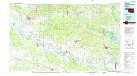 1986 Idabel1986 Print · USGSThe tri-state borderlands of Oklahoma, Arkansas, and Texas come alive in the 1980s, centered on the Red River and the timberlands of the Ouachita National Forest. Genealogists and historians can trace the paths of the Missouri Pacific railroad through towns like Bokhoma and Ashdown.
 - 1990 Map of Idabel
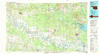 1990 Idabel1990 Print · USGSThe tri-state borderlands of Oklahoma, Arkansas, and Texas come alive in this late twentieth-century survey of the Red River valley. Researchers can trace the legacy of rail and river commerce through settlements like Bokhoma and Ashdown or find rural landmarks such as Hill Chapel.
 - 2010 Map of Acworth, 2010 Print
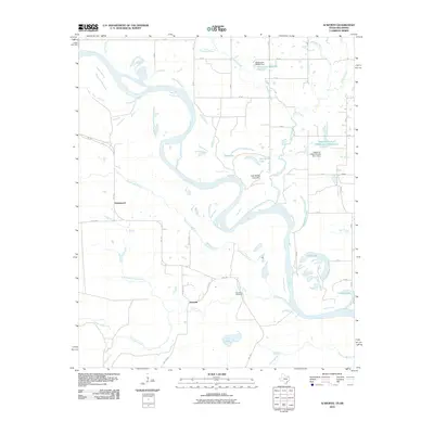 2010 Acworth2010 Print · USGSThe Red River floodplain in northeast Texas comes into focus in this recent survey, capturing the shifting bends and oxbows of the state line. Trace local history through the Bachman Cemetery and the rural settlements of Acworth and Greenwood.
 - 2013 Map of Acworth, 2013 Print
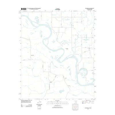 2013 Acworth2013 Print · USGSThe Red River borderlands near the Texas-Oklahoma line are captured here in the early twenty-first century. Genealogists and local historians can trace landmarks like Bachman Cem and the communities of Acworth and Greenwood.
 - 2016 Map of Acworth, 2016 Print
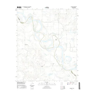 2016 Acworth2016 Print · USGSThe Texas-Oklahoma borderlands come into focus in this survey of the river valley and its surrounding settlements. Researchers can trace family history through Bachman Cem or explore the shifting river terrain around Acworth, Lick-Skillet Lake, and Greenwood.
 - 2019 Map of Acworth, 2019 Print
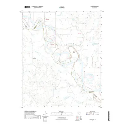 2019 Acworth2019 Print · USGSThe Red River valley at the Texas-Oklahoma border comes alive in this modern survey. Local historians can trace the paths of Acworth and Greenwood or locate the Bachman Cem and unique river features like the Lick Skillet Cut-Off.
 - 2022 Map of Acworth, 2022 Print
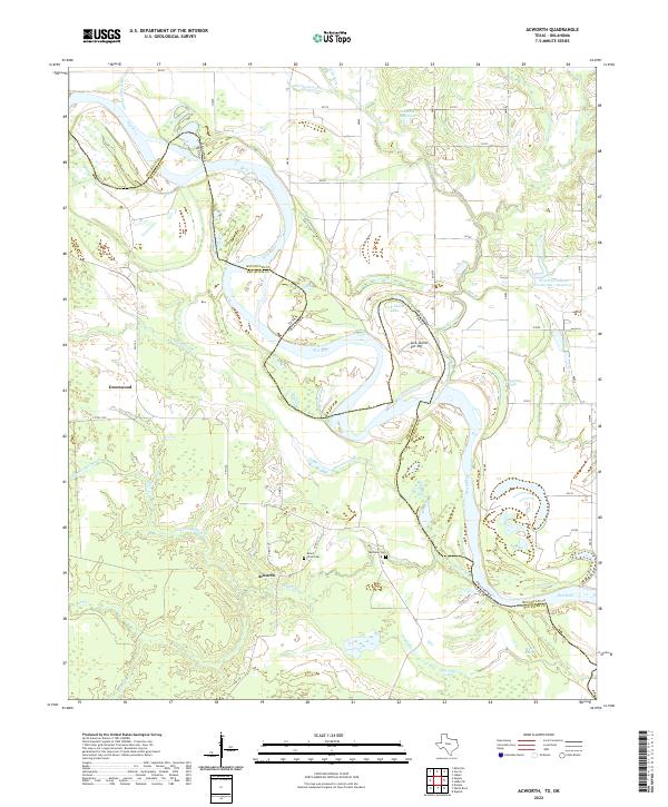 2022 Acworth2022 Print · USGSThe Red River border between Texas and Oklahoma is captured here in the early twenty-first century. Researchers can trace the rural communities of Acworth and Greenwood, alongside family landmarks like Mount Olive Cem and Bryarly Springs.
End of results
Showing maps 1-11 of 11
Top cities near Acworth
- Idabel historical maps
- Broken Bow historical maps
- Clarksville historical maps
- Valliant historical maps
- Avery historical maps
- Millerton historical maps
See more
Frequently asked questions
- What are the different types of historical maps available for Acworth?
- What is the oldest map of Acworth?
- Where can I purchase historical maps of Acworth for my home or office?
- Where can I download high-res historical maps of Acworth?
- Are there historical topographic maps available for Acworth?
- Is there historical aerial imagery available for Acworth?
- Where are historical maps of Acworth sourced from?