Old Maps of Clarksville, Texas for Hiking & Exploration
Hike through history with 16 historic maps of Clarksville. Explore old trails, ghost towns, and forgotten backroads — perfect for outdoor adventurers and local explorers.
- Rediscover forgotten places: Map out old mining camps, roads, and footpaths that no longer exist on modern maps.
- Layer with modern tools: Combine with LiDAR or satellite views to plan hikes through historical terrain.
- Made for exploration: Popular among hikers, overlanders, and local history lovers.
Use these maps to find adventure and explore the hidden past of Clarksville.
Clarksville, TX maps
(16)- 1953 Map of Texarkana, 1964 Print
 1953 Texarkana1964 Print · USGSThe Texas-Arkansas borderlands are captured here in the mid-fifties, during a decade of massive military and hydraulic engineering projects. Genealogists and researchers can locate family landmarks like Old Boston Cem, Siloam Ch, and the vast Red River Arsenal.4 unique versions available
 - 1956 Map of Texarkana
 1956 Texarkana1956 Print · USGSThe Ark-La-Tex borderlands come alive in the mid-fifties, showing the transition from a rail-dependent rural economy to a post-war industrial landscape. Researchers can trace the massive Red River Ordnance Depot and find towns like Talco, Bogata, and Naples.
 - 1964 Map of Dimple, 1967 Print
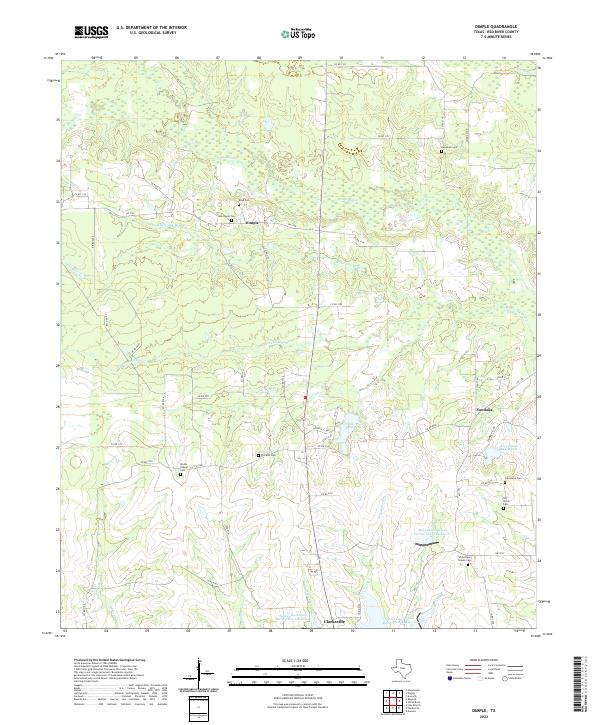
 1964 Dimple1967 Print · USGSRed River County in the mid-sixties shows a landscape of creek-side settlements and managed water. Genealogists can locate family landmarks like Whitemans Chapel Cemetery, State Rock Church, and the rural community of Dimple.
 - 1964 Map of Clarksville, 1968 Print
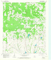
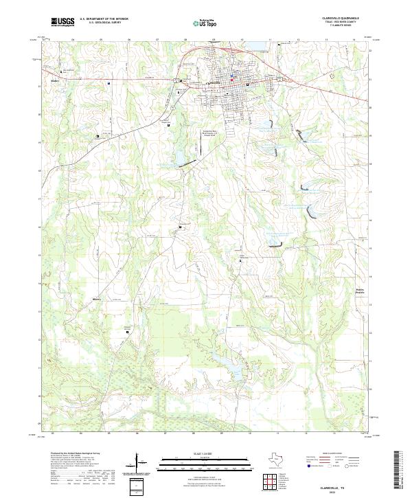
 1964 Clarksville1968 Print · USGSRed River County centers on the busy hub of Clarksville in the mid-1960s, showing a landscape defined by the railroad and rural school districts. Genealogists and researchers can trace family landmarks like McKenzie Cemetery, the McKenzie College Historical Monument, and the route of the Texas and Pacific railroad.
 - 1985 Map of Paris
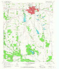
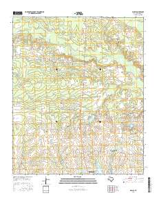
 1985 Paris1985 Print · USGSThe Red River Valley in the mid-eighties shows a landscape of military training grounds and rail-connected agricultural towns. Genealogists and historians can trace local landmarks like Allens Chapel Cem, the grounds of Camp Maxey, and the early footprint of Paris Junior College.
 - 1991 Map of Paris
 1991 Paris1991 Print · USGSNorthern Texas and southern Oklahoma meet along the Red River valley during the early nineties. Researchers can trace the rail networks of the Texas and Pacific RR and visit rural communities like Manchester, Sylvan, and Arthur City.
 - 2010 Map of Dimple, 2010 Print
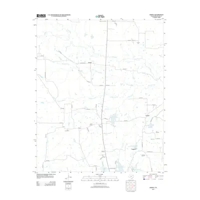
 2010 Dimple2010 Print · USGSCovers Clarksville, including Vandalia, Dimple, and other nearby areas
 - 2010 Map of Clarksville, 2010 Print
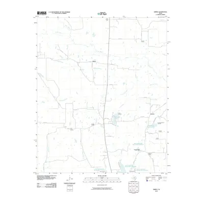
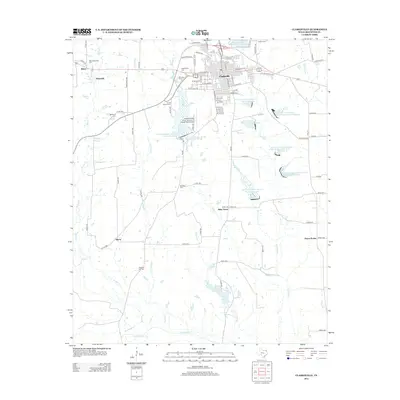
 2010 Clarksville2010 Print · USGSCovers Clarksville, including Peters Prairie, Aikin Grove, and other nearby areas
 - 2013 Map of Dimple, 2013 Print
 2013 Dimple2013 Print · USGSCovers Clarksville, including Vandalia, Dimple, and other nearby areas
 - 2013 Map of Clarksville, 2013 Print
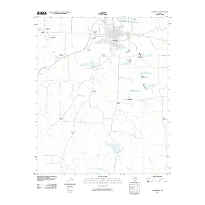
 2013 Clarksville2013 Print · USGSCovers Clarksville, including Peters Prairie, Aikin Grove, and other nearby areas
 - 2016 Map of Dimple, 2016 Print
 2016 Dimple2016 Print · USGSCovers Clarksville, including Vandalia, Dimple, and other nearby areas
 - 2016 Map of Clarksville, 2016 Print
 2016 Clarksville2016 Print · USGSCovers Clarksville, including Peters Prairie, Aikin Grove, and other nearby areas
 - 2019 Map of Clarksville, 2019 Print
 2019 Clarksville2019 Print · USGSCovers Clarksville, including Peters Prairie, Aikin Grove, and other nearby areas
 - 2019 Map of Dimple, 2019 Print
 2019 Dimple2019 Print · USGSCovers Clarksville, including Vandalia, Dimple, and other nearby areas
 - 2022 Map of Clarksville, 2022 Print
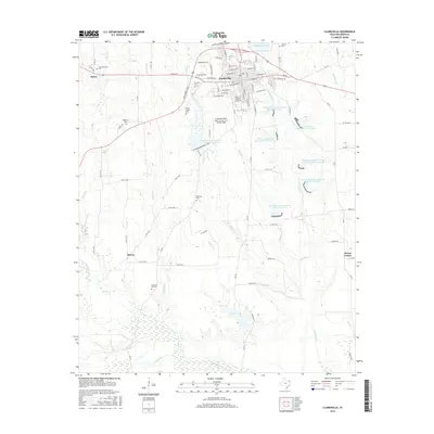
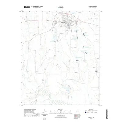
 2022 Clarksville2022 Print · USGSClarksville and the surrounding Red River County prairies are captured here in the early twenty-first century. Genealogists can locate family sites at McKenzie Cem, New Shamrock Cem, and Pleasant Hill Cem while tracing the rural road network.
 - 2022 Map of Dimple, 2022 Print
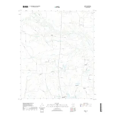
 2022 Dimple2022 Print · USGSRed River County's rural landscape is captured here in the early twenty-first century, showing the dispersed settlements of Dimple and Vandalia. Genealogists can locate several historic burial sites, including Hopewell Cem, Old Shiloh Cem, and Stones Chapel Cem.
End of results
Showing maps 1-16 of 16
Top cities near Clarksville
Frequently asked questions
- What are the different types of historical maps available for Clarksville?
- What is the oldest map of Clarksville?
- Where can I purchase historical maps of Clarksville for my home or office?
- Where can I download high-res historical maps of Clarksville?
- Are there historical topographic maps available for Clarksville?
- Is there historical aerial imagery available for Clarksville?
- Where are historical maps of Clarksville sourced from?