Old Maps of Harts Bluff, Texas for Hiking & Exploration
Hike through history with 10 historic maps of Harts Bluff. Explore old trails, ghost towns, and forgotten backroads — perfect for outdoor adventurers and local explorers.
- Rediscover forgotten places: Map out old mining camps, roads, and footpaths that no longer exist on modern maps.
- Layer with modern tools: Combine with LiDAR or satellite views to plan hikes through historical terrain.
- Made for exploration: Popular among hikers, overlanders, and local history lovers.
Use these maps to find adventure and explore the hidden past of Harts Bluff.
Harts Bluff, TX maps
(10)- 1953 Map of Texarkana, 1964 Print
 1953 Texarkana1964 Print · USGSThe Texas-Arkansas borderlands are captured here in the mid-fifties, during a decade of massive military and hydraulic engineering projects. Genealogists and researchers can locate family landmarks like Old Boston Cem, Siloam Ch, and the vast Red River Arsenal.4 unique versions available
 - 1956 Map of Texarkana
 1956 Texarkana1956 Print · USGSThe Ark-La-Tex borderlands come alive in the mid-fifties, showing the transition from a rail-dependent rural economy to a post-war industrial landscape. Researchers can trace the massive Red River Ordnance Depot and find towns like Talco, Bogata, and Naples.
 - 1965 Map of Boxelder, 1967 Print
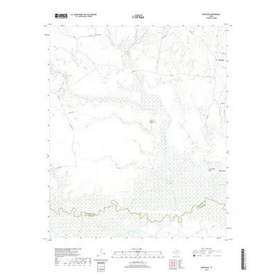
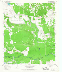 1965 Boxelder1967 Print · USGSRed River County in the mid-1960s was a landscape of winding bottomland creeks and emerging petroleum activity. Researchers can trace family sites near Boxelder, find the Evergreen Cem, or locate landmarks like Harts Bluff and the Trix-Liz Oil Field.2 unique versions available
 - 1986 Map of Texarkana
 1986 Texarkana1986 Print · USGSThe Texas-Arkansas borderlands are captured here in the mid-eighties as a hub of military industry and river-basin geography. Genealogists and local historians can locate rural landmarks like Red Hill Cem, Coopers Chapel, and the Lone Star Army Ammunition Plant.
 - 1992 Map of Texarkana
 1992 Texarkana1992 Print · USGSThe Ark-La-Tex border region comes into focus in the early nineties, centered on the sprawling waters of Wright Patman Lake. Genealogists and historians can trace rail-town development and rural roots through Old Union Cem, the Red River Army Depot, and Dalby Springs Cem.
 - 2010 Map of Boxelder, 2010 Print
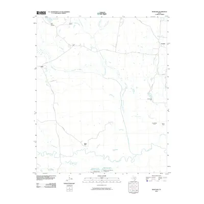 2010 Boxelder2010 Print · USGSCovers Harts Bluff, including Maple, Boxelder, and other nearby areas
 - 2012 Map of Boxelder, 2012 Print
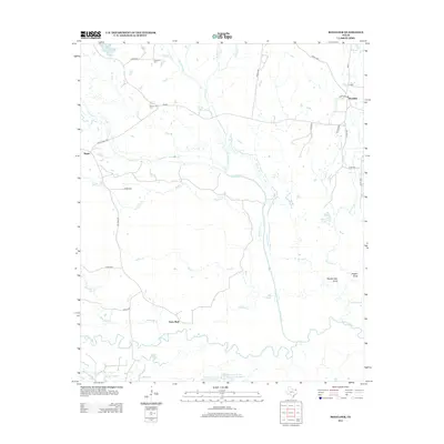 2012 Boxelder2012 Print · USGSCovers Harts Bluff, including Maple, Boxelder, and other nearby areas
 - 2016 Map of Boxelder, 2016 Print
 2016 Boxelder2016 Print · USGSCovers Harts Bluff, including Maple, Boxelder, and other nearby areas
 - 2019 Map of Boxelder, 2019 Print
 2019 Boxelder2019 Print · USGSCovers Harts Bluff, including Maple, Boxelder, and other nearby areas
 - 2022 Map of Boxelder, 2022 Print
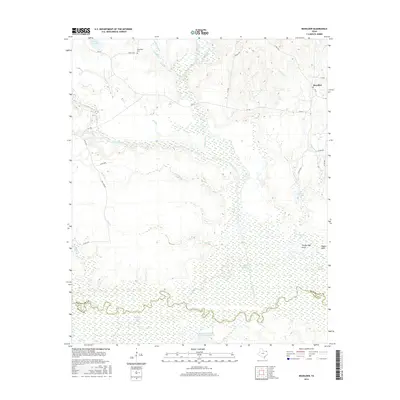
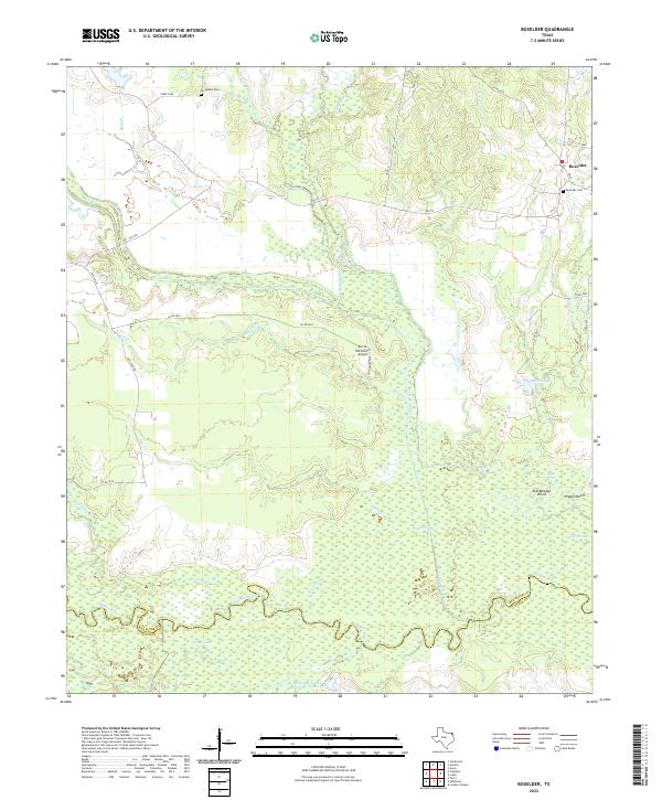 2022 Boxelder2022 Print · USGSRed River County and the northern edge of Titus County appear here in the early 2020s, dominated by the winding Sulphur River. Trace family landmarks at Boxelder Cem or follow the diverse drainage of Cuthand Creek and Big Slough.
End of results
Showing maps 1-10 of 10
Top cities near Harts Bluff
- Mount Pleasant historical maps
- Clarksville historical maps
- Omaha historical maps
- Talco historical maps
- Avery historical maps
- Annona historical maps
Frequently asked questions
- What are the different types of historical maps available for Harts Bluff?
- What is the oldest map of Harts Bluff?
- Where can I purchase historical maps of Harts Bluff for my home or office?
- Where can I download high-res historical maps of Harts Bluff?
- Are there historical topographic maps available for Harts Bluff?
- Is there historical aerial imagery available for Harts Bluff?
- Where are historical maps of Harts Bluff sourced from?