Old Maps of Hermosa, Texas for Metal Detecting
Plan your next treasure hunt with 10 historic maps of Hermosa. Find old homesites, ghost towns, trails, and gathering spots that may be lost to time — perfect for identifying promising metal detecting locations.
- Locate forgotten sites: Uncover places like long-lost settlements, abandoned rail lines, or gathering spots.
- Plan better hunts: Use map overlays combined with LiDAR or satellite views to narrow in on historically rich areas.
- Made for detectorists: Thousands of hobbyists use these maps to discover relics, coins, and hidden history.
Use these historic maps to boost your research and find new opportunities beneath the surface of Hermosa.
Hermosa, TX maps
(10)- 1921 Map of Toyah
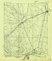 1921 Toyah1921 Print · USGSReeves County at the dawn of the highway era is documented here, showing the junction of major rail lines and early transcontinental motor routes. Researchers can trace family ranching history and railroad development through Toyah, Saragosa, and the VR Ranch.
 - 1954 Map of Pecos, 1964 Print
 1954 Pecos1964 Print · USGSMid-century West Texas reveals a landscape of expanding oil fields and cattle ranching along the winding Pecos River. Local historians can trace family ranch lands like Goodrich Ranch, follow the Texas and Pacific rails, or locate the historic Horsehead Crossing.3 unique versions available
 - 1957 Map of Pecos
 1957 Pecos1957 Print · USGSWest Texas in the mid-fifties is a landscape of desert oil fields and vital rail corridors. Researchers can trace the sprawling Pyote Air Force Base, the historic Horsehead Crossing, and the rail stops at Mentone and Saragosa.
 - 1970 Map of Hermosa, 1973 Print
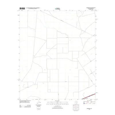
 1970 Hermosa1973 Print · USGSReeves County at the start of the 1970s reveals a landscape transitioning from open range to a busy energy corridor. Researchers can trace the industrial footprint of the Gas Plant, the Texas and Pacific railroad, and the small settlement of Hermosa.
 - 1986 Map of Pecos
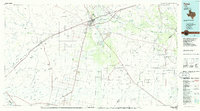 1986 Pecos1986 Print · USGSWest Texas in the mid-eighties reveals a landscape of desert draws and growing energy infrastructure centered on the Pecos River. Researchers can trace old rail lines, family burials at Mount Evergreen Cem, and rural outposts like Toyah or Saragosa.2 unique versions available
 - 2010 Map of Hermosa, 2010 Print
 2010 Hermosa2010 Print · USGSCovers Hermosa, including Reeves County, United States, and other nearby areas
 - 2012 Map of Hermosa, 2012 Print
 2012 Hermosa2012 Print · USGSCovers Hermosa, including Reeves County, United States, and other nearby areas
 - 2016 Map of Hermosa, 2016 Print
 2016 Hermosa2016 Print · USGSCovers Hermosa, including Reeves County, United States, and other nearby areas
 - 2019 Map of Hermosa, 2019 Print
 2019 Hermosa2019 Print · USGSCovers Hermosa, including Reeves County, United States, and other nearby areas
 - 2022 Map of Hermosa, 2022 Print
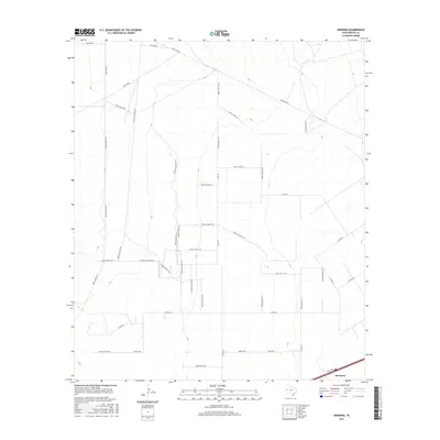
 2022 Hermosa2022 Print · USGSReeves County at the start of the 2020s shows a landscape deeply integrated with the energy industry and ranching. Researchers can trace specialized industrial infrastructure such as Oil Field Access Rd 101, Gas Line Rd, and the settlement at Hermosa.
End of results
Showing maps 1-10 of 10
Top cities near Hermosa
Frequently asked questions
- What are the different types of historical maps available for Hermosa?
- What is the oldest map of Hermosa?
- Where can I purchase historical maps of Hermosa for my home or office?
- Where can I download high-res historical maps of Hermosa?
- Are there historical topographic maps available for Hermosa?
- Is there historical aerial imagery available for Hermosa?
- Where are historical maps of Hermosa sourced from?