Old Maps of Quintana, Texas for Metal Detecting
Plan your next treasure hunt with 11 historic maps of Quintana. Find old homesites, ghost towns, trails, and gathering spots that may be lost to time — perfect for identifying promising metal detecting locations.
- Locate forgotten sites: Uncover places like long-lost settlements, abandoned rail lines, or gathering spots.
- Plan better hunts: Use map overlays combined with LiDAR or satellite views to narrow in on historically rich areas.
- Made for detectorists: Thousands of hobbyists use these maps to discover relics, coins, and hidden history.
Use these historic maps to boost your research and find new opportunities beneath the surface of Quintana.
Quintana, TX maps
(11)- 1953 Map of Beeville
 1953 Beeville1953 Print · USGSThe Texas Coastal Bend in the early fifties shows a landscape of growing regional hubs and vital maritime corridors. Trace the rail-and-river economy through Goliad, locate the Matagorda Lighthouse, and explore the sprawling Aransas National Wildlife Refuge.
 - 1954 Map of Vidaurri, 1956 Print
 1954 Vidaurri1956 Print · USGSCoastal Texas ranching and petroleum industry collide in the mid-fifties as massive oil fields expanded across Refugio County. Genealogists and historians can trace family-named sites like Welder Ranch, Lambert Ranch, and the settlements of Vidaurri and Greta.2 unique versions available
 - 1956 Map of Beeville
 1956 Beeville1956 Print · USGSCoastal Texas and the brush country interior are shown in the mid-fifties, from the coastal bays to the inland oil fields. Trace the old rail lines of the Southern Pacific RR or locate the historic Matagorda Lighthouse and the Aransas National Wildlife Refuge.2 unique versions available
 - 1960 Map of Beeville
 1960 Beeville1960 Print · USGSCoastal Texas in the mid-fifties reveals a landscape of growing towns and vital military outposts like Foster AFB. Researchers can trace old rail lines including the Missouri Pacific and explore the vast Aransas National Wildlife Refuge.
 - 1979 Map of Quintana
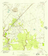
 1979 Quintana1979 Print · USGSRefugio County petroleum production is in full swing in the late seventies. Researchers can trace historical well sites like Saddle Blanket Well and the expansive Tom O'connor Oil Field near Quintana.
 - 1985 Map of Beeville
 1985 Beeville1985 Print · USGSCoastal South Texas is captured here in the mid-1980s, from the inland plains of Beeville to the estuaries of the Gulf. Genealogists and researchers can trace local landmarks like Chase Field Naval Air Station or follow the historic Southern Pacific rail lines through Skidmore and Woodsboro.2 unique versions available
 - 2010 Map of Quintana, 2010 Print
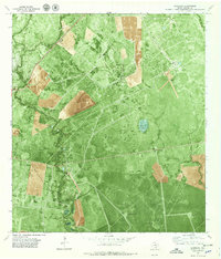
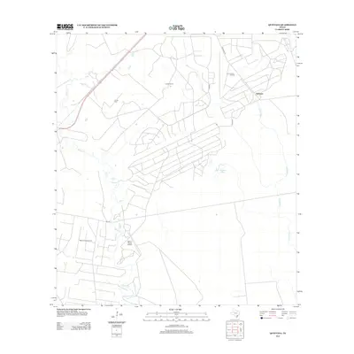
 2010 Quintana2010 Print · USGSCovers Quintana, including Aransas County, Refugio County, and other nearby areas
 - 2013 Map of Quintana, 2013 Print
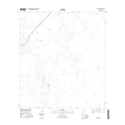
 2013 Quintana2013 Print · USGSCovers Quintana, including Aransas County, Refugio County, and other nearby areas
 - 2016 Map of Quintana, 2016 Print
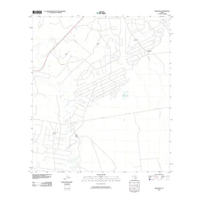
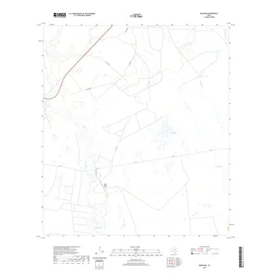
 2016 Quintana2016 Print · USGSCovers Quintana, including Aransas County, Refugio County, and other nearby areas
 - 2019 Map of Quintana, 2019 Print
 2019 Quintana2019 Print · USGSCovers Quintana, including Aransas County, Refugio County, and other nearby areas
 - 2022 Map of Quintana, 2022 Print
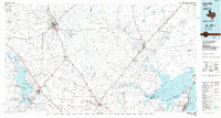
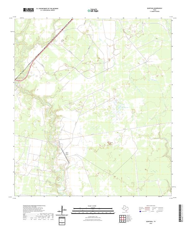 2022 Quintana2022 Print · USGSCoastal Refugio County is captured here in the early 2020s, showing a landscape shaped by ranching and oil-industry transport. Genealogists and land researchers can trace the reaches of Melon Cr, the location of the Mellon Ranch Airport, and local landmarks like Mustang Lake.
End of results
Showing maps 1-11 of 11
Top cities near Quintana
Frequently asked questions
- What are the different types of historical maps available for Quintana?
- What is the oldest map of Quintana?
- Where can I purchase historical maps of Quintana for my home or office?
- Where can I download high-res historical maps of Quintana?
- Are there historical topographic maps available for Quintana?
- Is there historical aerial imagery available for Quintana?
- Where are historical maps of Quintana sourced from?