Old Maps of Tivoli, Texas for Academic Research
Study the evolution of Tivoli with 10 high-resolution historic maps. Whether you're teaching, researching, or modeling changes in land use, these maps provide essential visual documentation of urban, environmental, and geographic change.
- Analyze long-term change: Track patterns in development, transportation, and natural features.
- Ideal for environmental or urban studies: Support academic projects with primary historical map data.
- Use in the classroom or lab: Educators and researchers rely on these maps to bring historical context to life.
These maps are a powerful tool for teaching, research, and visualizing how Tivoli has changed over the decades.
Tivoli, TX maps
(10)- 1952 Map of Tivoli, 1953 Print
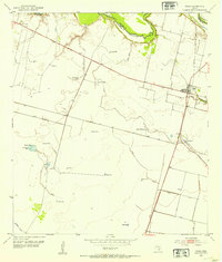 1952 Tivoli1953 Print · USGSCoastal prairie life in Refugio County during the early fifties revolved around the railroad and river systems. Genealogists and local historians can trace the development of Tivoli and Maudlowe, alongside ranching landmarks like Red Mill Tank and Anaqua Tank.3 unique versions available
 - 1953 Map of Beeville
 1953 Beeville1953 Print · USGSThe Texas Coastal Bend in the early fifties shows a landscape of growing regional hubs and vital maritime corridors. Trace the rail-and-river economy through Goliad, locate the Matagorda Lighthouse, and explore the sprawling Aransas National Wildlife Refuge.
 - 1956 Map of Beeville
 1956 Beeville1956 Print · USGSCoastal Texas and the brush country interior are shown in the mid-fifties, from the coastal bays to the inland oil fields. Trace the old rail lines of the Southern Pacific RR or locate the historic Matagorda Lighthouse and the Aransas National Wildlife Refuge.2 unique versions available
 - 1960 Map of Beeville
 1960 Beeville1960 Print · USGSCoastal Texas in the mid-fifties reveals a landscape of growing towns and vital military outposts like Foster AFB. Researchers can trace old rail lines including the Missouri Pacific and explore the vast Aransas National Wildlife Refuge.
 - 1983 Map of San Antonio Bay
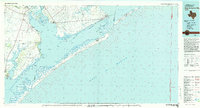 1983 San Antonio Bay1983 Print · USGSThe Texas Coastal Bend in the early eighties is a landscape of expansive estuaries and barrier islands. Local historians can trace the development of Port O'Connor and Seadrift, the boundaries of the Aransas National Wildlife Refuge, and the path of an Old RR Grade near Tivoli.
 - 2010 Map of Tivoli, 2010 Print
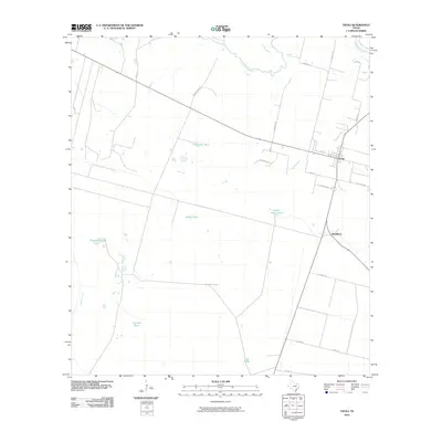 2010 Tivoli2010 Print · USGSCovers Tivoli, including Maudlowe, Calhoun County, and other nearby areas
 - 2013 Map of Tivoli, 2013 Print
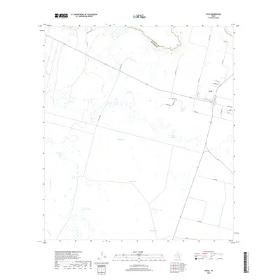
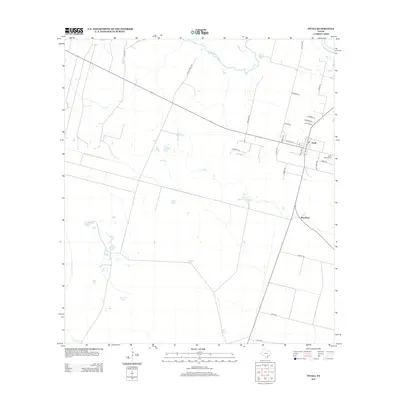 2013 Tivoli2013 Print · USGSCovers Tivoli, including Maudlowe, Calhoun County, and other nearby areas
 - 2016 Map of Tivoli, 2016 Print
 2016 Tivoli2016 Print · USGSCovers Tivoli, including Maudlowe, Calhoun County, and other nearby areas
 - 2019 Map of Tivoli, 2019 Print
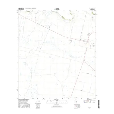
 2019 Tivoli2019 Print · USGSCovers Tivoli, including Maudlowe, Calhoun County, and other nearby areas
 - 2022 Map of Tivoli, 2022 Print
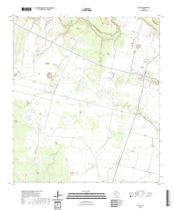 2022 Tivoli2022 Print · USGSCoastal Texas ranchlands and the village of Tivoli are captured in this modern survey of the lower San Antonio River valley. Researchers can trace local lineage at Saint Marys Cem and locate landmarks like Horseshoe Lake and Peach Motte Tank.
End of results
Showing maps 1-10 of 10
Top cities near Tivoli
Frequently asked questions
- What are the different types of historical maps available for Tivoli?
- What is the oldest map of Tivoli?
- Where can I purchase historical maps of Tivoli for my home or office?
- Where can I download high-res historical maps of Tivoli?
- Are there historical topographic maps available for Tivoli?
- Is there historical aerial imagery available for Tivoli?
- Where are historical maps of Tivoli sourced from?