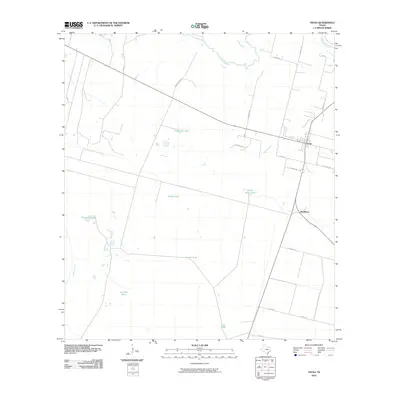
2010 Map of Tivoli
USGS Topo · Published 2010About this map
The confluence of the Guadalupe River and the San Antonio River defines the northern reaches of this coastal prairie landscape. In the early 21st century, the area around Tivoli remains largely characterized by expansive ranching operations, visible through the network of private roads and water management features. Prominent among these are several named livestock watering sources including Outer Rim Tank, Black Tank, and the Peach Motte Tank.
Find a feature on this map
27 named features on this map. Tap any name to fly to it.
Don’t see what you’re looking for? This feature index may not catch every label — zoom into the map to look around manually.
Map Details
Editions of this 2010 Tivoli Map
This is the sole edition of this map. No revisions or reprints were ever made.
Other maps of this area

1952 · Tivoli
USGS Topo · 1:24,000

1952 · Bloomington SW
USGS Topo · 1:24,000

1952 · Tivoli SE
USGS Topo · 1:24,000

1952 · Austwell
USGS Topo · 1:24,000

1952 · Tivoli SW
USGS Topo · 1:24,000

1952 · Green Lake
USGS Topo · 1:24,000

1953 · Beeville
USGS Topo · 1:250,000

1954 · Vidaurri
USGS Topo · 1:62,500

1956 · Beeville
USGS Topo · 1:250,000

1960 · Beeville
USGS Topo · 1:250,000