Old Maps of Franklin, Texas for Hiking & Exploration
Hike through history with 17 historic maps of Franklin. Explore old trails, ghost towns, and forgotten backroads — perfect for outdoor adventurers and local explorers.
- Rediscover forgotten places: Map out old mining camps, roads, and footpaths that no longer exist on modern maps.
- Layer with modern tools: Combine with LiDAR or satellite views to plan hikes through historical terrain.
- Made for exploration: Popular among hikers, overlanders, and local history lovers.
Use these maps to find adventure and explore the hidden past of Franklin.
Franklin, TX maps
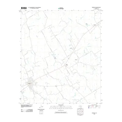
(17)- 1927 Map of Marquez
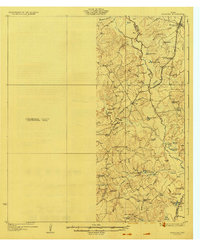 1927 Marquez1927 Print · USGSThe Leon and Robertson county border in the 1920s was a landscape of small schools and river-bottom bottomlands centered on the Marquez settlement. Genealogists can trace family roots at Camp Creek Cemetery or locate old schoolhouses like Dolly School and Blue Grove School.2 unique versions available
 - 1930 Map of Marquez
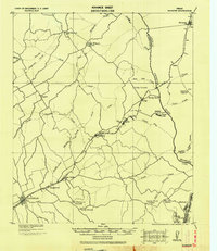 1930 Marquez1930 Print · USGSRobertson and Leon counties are mapped here at the height of the steam-rail era. Genealogists can trace family footprints through rural post offices like Bald Prairie P.O. and community anchors like Holly Church and James School.
 - 1954 Map of Waco, 1964 Print
 1954 Waco1964 Print · USGSCentral Texas during the mid-fifties shows a landscape defined by the expansion of Fort Hood Military Reservation and the Brazos river system. Trace the rail lines and early airfields like James Connally Air Force Base and settlements like Temple or McGregor.2 unique versions available
 - 1955 Map of Waco
 1955 Waco1955 Print · USGSCentral Texas at the peak of the Cold War reveals a landscape defined by military expansion and major water projects. Researchers can trace the footprints of Fort Hood, the waters of Lake Waco, and regional hubs like Temple or Mexia.
 - 1962 Map of Owensville, 1964 Print
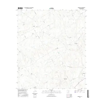
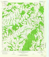 1962 Owensville1964 Print · USGSIn the heart of Robertson County during the early sixties, this map captures the dispersed settlements and family burial grounds of central Texas. Genealogists can locate Anderson Cem, Owensville Cem, and the rail corridor of the Missouri Pacific.2 unique versions available
 - 1965 Map of Franklin, 1968 Print
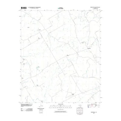
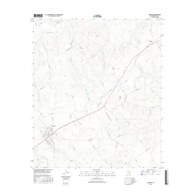
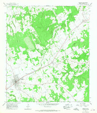 1965 Franklin1968 Print · USGSRobertson County in the mid-sixties centers on the railroad economy of Franklin and its neighboring rural settlements. Genealogists and local historians can trace the foundations of New Baden and Easterly, or locate family sites at New Baden Cem and Mt Pleasant Ch.2 unique versions available
 - 1985 Map of Marlin
 1985 Marlin1985 Print · USGSMid-century Texas agriculture and transit converge here during the mid-1980s, centered on the Brazos River corridor. Genealogists can locate family sites near Tidwell Prairie or trace the Missouri Pacific RR through Bremond and Kosse.2 unique versions available
 - 2010 Map of Franklin, 2010 Print
 2010 Franklin2010 Print · USGSCovers Franklin, including Easterly, New Baden, and other nearby areas
 - 2010 Map of Owensville, 2010 Print
 2010 Owensville2010 Print · USGSCovers Franklin, including Owensville, Nesbitt, and other nearby areas
 - 2013 Map of Franklin, 2013 Print
 2013 Franklin2013 Print · USGSCovers Franklin, including Easterly, New Baden, and other nearby areas
 - 2013 Map of Owensville, 2013 Print
 2013 Owensville2013 Print · USGSCovers Franklin, including Owensville, Nesbitt, and other nearby areas
 - 2016 Map of Franklin, 2016 Print
 2016 Franklin2016 Print · USGSCovers Franklin, including Easterly, New Baden, and other nearby areas
 - 2016 Map of Owensville, 2016 Print
 2016 Owensville2016 Print · USGSCovers Franklin, including Owensville, Nesbitt, and other nearby areas
 - 2019 Map of Owensville, 2019 Print
 2019 Owensville2019 Print · USGSCovers Franklin, including Owensville, Nesbitt, and other nearby areas
 - 2019 Map of Franklin, 2019 Print
 2019 Franklin2019 Print · USGSCovers Franklin, including Easterly, New Baden, and other nearby areas
 - 2022 Map of Owensville, 2022 Print
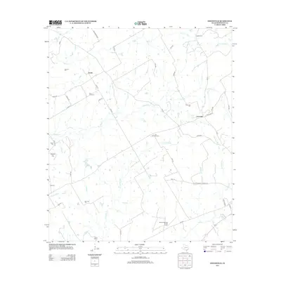
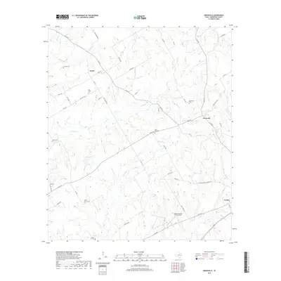
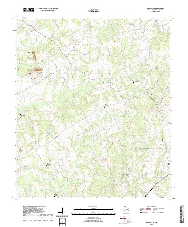 2022 Owensville2022 Print · USGSRobertson County at the start of the 2020s shows a landscape of established rural settlements and numerous family cemeteries. Researchers can trace land tracts near Owensville, Nesbitt, and the Little Mississippi Cem alongside the winding Walnut Cr.
 - 2022 Map of Franklin, 2022 Print
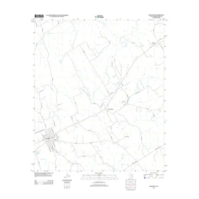
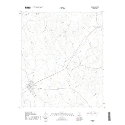
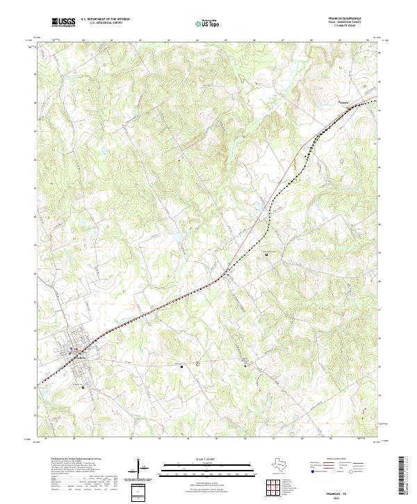 2022 Franklin2022 Print · USGSFranklin and the surrounding Robertson County countryside are documented here in the early twenty-first century. Genealogists and local historians can locate family landmarks such as New Baden Cem, Mount Pleasant Cem, and the Robertson County Courthouse.
End of results
Showing maps 1-17 of 17
Top cities near Franklin
- Hearne historical maps
- Calvert historical maps
- Bremond historical maps
- Marquez historical maps
- Kurten historical maps
Frequently asked questions
- What are the different types of historical maps available for Franklin?
- What is the oldest map of Franklin?
- Where can I purchase historical maps of Franklin for my home or office?
- Where can I download high-res historical maps of Franklin?
- Are there historical topographic maps available for Franklin?
- Is there historical aerial imagery available for Franklin?
- Where are historical maps of Franklin sourced from?