
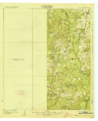
1927 Map of Marquez
USGS Topo · Published 1927About this map
The Navasota River and its complex network of oxbow lakes and marshes form the eastern boundary of this mid-1920s survey of the Leon and Robertson county line. This era captures a rural Texas landscape defined by decentralized communities, where small settlements like Marquez and Venetia are linked by the International Trail. The social fabric of the day is mapped through its educational and religious centers, such as Sand Crossing Church and several rural schools including Dolly School, Watson School, and Navasota School.
Find a feature on this map
55 named features on this map. Tap any name to fly to it.
Don’t see what you’re looking for? This feature index may not catch every label — zoom into the map to look around manually.
Map Details
Editions of this 1927 Marquez Map
2 editions found
Other maps of this area

1925 · Iola No 2
USGS Topo · 1:48,000

1925 · Marquez No. 1
USGS Topo · 1:48,000

1925 · Marquez No. 4
USGS Topo · 1:48,000

1930 · Marquez
USGS Topo · 1:62,500

1931 · Iola
USGS Topo · 1:62,500

1954 · Waco
USGS Topo · 1:250,000

1954 · Austin
USGS Topo · 1:250,000

1955 · Waco
USGS Topo · 1:250,000

1956 · Jewett
USGS Topo · 1:62,500

1961 · Hearne North
USGS Topo · 1:24,000