Old Maps of Winters, Texas for Academic Research
Study the evolution of Winters with 15 high-resolution historic maps. Whether you're teaching, researching, or modeling changes in land use, these maps provide essential visual documentation of urban, environmental, and geographic change.
- Analyze long-term change: Track patterns in development, transportation, and natural features.
- Ideal for environmental or urban studies: Support academic projects with primary historical map data.
- Use in the classroom or lab: Educators and researchers rely on these maps to bring historical context to life.
These maps are a powerful tool for teaching, research, and visualizing how Winters has changed over the decades.
Winters, TX maps
(15)- 1892 Map of Ballinger
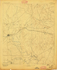 1892 Ballinger1892 Print · USGSCentral West Texas was a landscape of budding rail towns and winding river valleys in the early 1890s. Genealogists can trace the early footprints of Ballinger and Paintrock or locate smaller vanished points like Norwood and Trap Crossing.5 unique versions available
 - 1954 Map of Brownwood, 1955 Print
 1954 Brownwood1955 Print · USGSCentral Texas in the early fifties shows a landscape of rail-linked cattle towns and winding river valleys before modern highway expansion. Genealogists and historians can trace family-named peaks and vanished rail stops like Trickham, Santa Anna, and the Brady Mountains.3 unique versions available
 - 1967 Map of Winters, 1970 Print
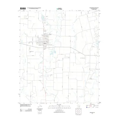
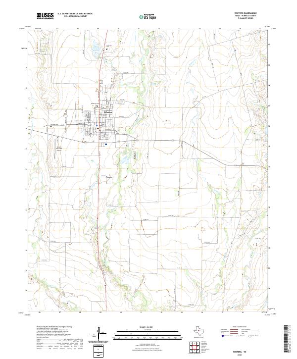
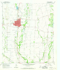 1967 Winters1970 Print · USGSMid-century Runnels County comes to life in this detailed record of Winters, showing the town's growth alongside the Abilene and Southern rail line. Genealogists and local historians can locate several burial grounds like Northview Cem or trace the development of Old Lake Winters.2 unique versions available
 - 1967 Map of Crews, 1970 Print
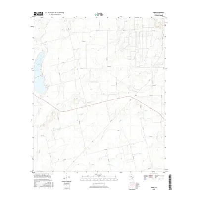
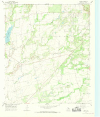 1967 Crews1970 Print · USGSRunnels County in the late sixties shows a landscape balancing cattle ranching with a maturing petroleum industry. Genealogists and historians can trace local landmarks like Harmony Ch, the community of Crews, and the sprawling Sykes Oil Field.2 unique versions available
 - 1985 Map of Coleman
 1985 Coleman1985 Print · USGSCentral Texas ranching and rail country comes to life in the 1980s as the Atchison Topeka and Santa Fe line cuts through Coleman. Researchers can trace old settlements and topography from Robinson Peak to the waters of Lake Brownwood State Park.2 unique versions available
 - 2010 Map of Crews, 2010 Print
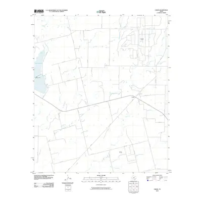 2010 Crews2010 Print · USGSCovers Winters, including Crews, Runnels County, and other nearby areas
 - 2010 Map of Winters, 2010 Print
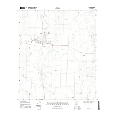
 2010 Winters2010 Print · USGSCovers Winters, including Runnels County, United States, and other nearby areas
 - 2013 Map of Crews, 2013 Print
 2013 Crews2013 Print · USGSCovers Winters, including Crews, Runnels County, and other nearby areas
 - 2013 Map of Winters, 2013 Print
 2013 Winters2013 Print · USGSCovers Winters, including Runnels County, United States, and other nearby areas
 - 2016 Map of Crews, 2016 Print
 2016 Crews2016 Print · USGSCovers Winters, including Crews, Runnels County, and other nearby areas
 - 2016 Map of Winters, 2016 Print
 2016 Winters2016 Print · USGSCovers Winters, including Runnels County, United States, and other nearby areas
 - 2019 Map of Winters, 2019 Print
 2019 Winters2019 Print · USGSCovers Winters, including Runnels County, United States, and other nearby areas
 - 2019 Map of Crews, 2019 Print
 2019 Crews2019 Print · USGSCovers Winters, including Crews, Runnels County, and other nearby areas
 - 2022 Map of Winters, 2022 Print
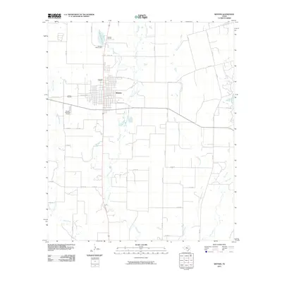
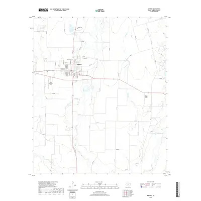
 2022 Winters2022 Print · USGSRunnels County as it appeared in the early 2020s shows the well-established town of Winters surrounded by a network of creeks and rural routes. Researchers can trace local lineage at Northview Cem or Fairview Cem and locate landmarks like Lake Old Winters.
 - 2022 Map of Crews, 2022 Print
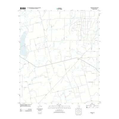
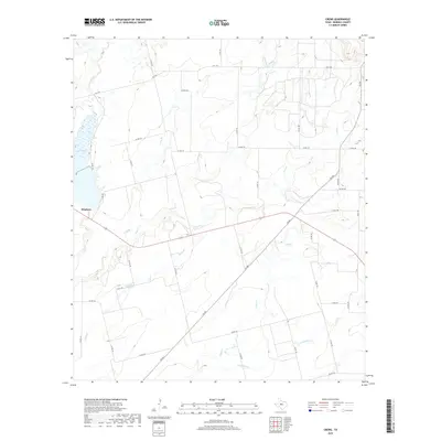
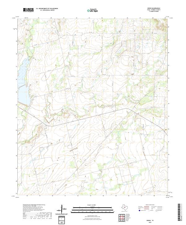 2022 Crews2022 Print · USGSRunnels County ranch lands are mapped here in the early twenty-first century, showing a landscape defined by seasonal creek beds and rural road grids. Researchers can trace the shoreline of Lake Winters or follow the paths of Gap Cr and Mud Cr.
End of results
Showing maps 1-15 of 15
Top cities near Winters
Frequently asked questions
- What are the different types of historical maps available for Winters?
- What is the oldest map of Winters?
- Where can I purchase historical maps of Winters for my home or office?
- Where can I download high-res historical maps of Winters?
- Are there historical topographic maps available for Winters?
- Is there historical aerial imagery available for Winters?
- Where are historical maps of Winters sourced from?