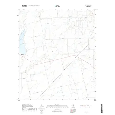
2019 Map of Crews
USGS Topo · Published 2019About this map
The city of Winters sits at the western edge of this 2019 survey, where the prairie meets the essential waters of Lake Winters. The surrounding landscape of Runnels County is defined by a dense network of intermittent watercourses and rural roads that have served generations of Texas ranchers and farmers. These drainages, including Elm Cr, Gap Cr, and Eagle Br, carve low-relief paths through the countryside, while a grid of county roads such as Co RD 179 and Co RD 156 provide access to the vast agricultural parcels. This late-stage topographic study captures the area's modern infrastructure, showing the continued importance of state highways like FM 382 and FM 1770 in connecting these rural homesteads to the municipal hub at Winters.
Find a feature on this map
39 named features on this map. Tap any name to fly to it.
Don’t see what you’re looking for? This feature index may not catch every label — zoom into the map to look around manually.
Map Details
Editions of this 2019 Crews Map
This is the sole edition of this map. No revisions or reprints were ever made.
Other maps of this area
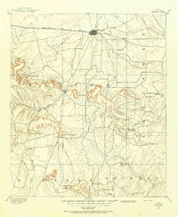
1890 · Abilene
USGS Topo · 1:125,000
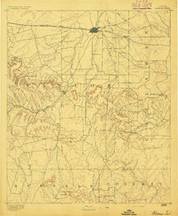
1892 · Abilene
USGS Topo · 1:125,000
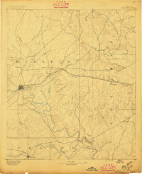
1892 · Ballinger
USGS Topo · 1:125,000
1921 · Hatchel
USGS Topo · 1:31,680

1954 · Brownwood
USGS Topo · 1:250,000

1954 · Abilene
USGS Topo · 1:250,000

1958 · Abilene
USGS Topo · 1:250,000
1967 · Hatchel
USGS Topo · 1:24,000
1967 · Talpa
USGS Topo · 1:24,000
1967 · Novice West
USGS Topo · 1:24,000