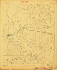
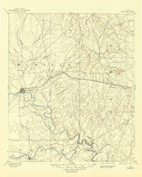
1892 Map of Ballinger
USGS Topo · Published 1892About this map
Ballinger stands at the confluence of the Colorado River and its various tributaries during this 1890 survey. The town serves as a vital hub where the Gulf Colorado and Santa Fe Railway spans the landscape, connecting smaller outposts like Norwood and Talpa. To the north, the old settlement of Runnels is visible, while the southern reaches of the map follow the meandering Concho River toward Paintrock.
Find a feature on this map
43 named features on this map. Tap any name to fly to it.
Don’t see what you’re looking for? This feature index may not catch every label — zoom into the map to look around manually.
Map Details
Editions of this 1892 Ballinger Map
5 editions found
Other maps of this area
1887 · Coleman
USGS Topo · 1:125,000
1889 · Coleman
USGS Topo · 1:125,000
1890 · Abilene
USGS Topo · 1:125,000
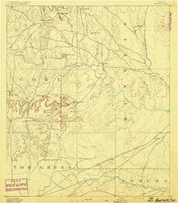
1891 · Hayrick
USGS Topo · 1:125,000
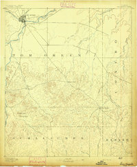
1892 · San Angelo
USGS Topo · 1:125,000
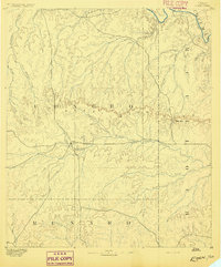
1892 · Eden
USGS Topo · 1:125,000
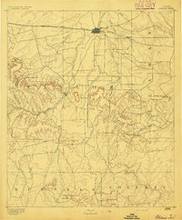
1892 · Abilene
USGS Topo · 1:125,000
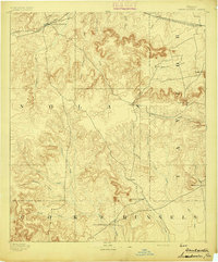
1893 · Sweetwater
USGS Topo · 1:125,000
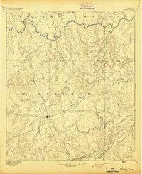
1894 · Brady
USGS Topo · 1:125,000
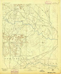
1894 · Hayrick
USGS Topo · 1:125,000