Loading...
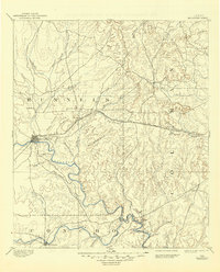
Loading map...1892 Map of Ballinger
USGS Topo · Published 1906About this map
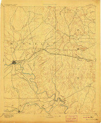
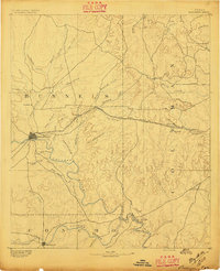
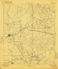
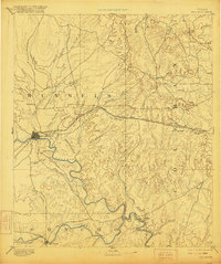
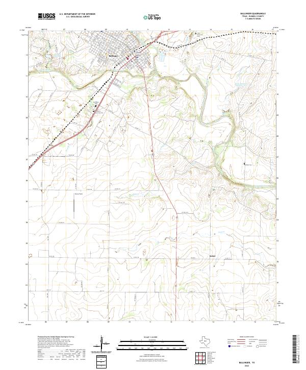
Ballinger stands as the primary hub in this late nineteenth-century survey, situated at the confluence of the Colorado River and several tributary creeks. The landscape is defined by the convergence of major waterways and early transit lines, most notably the Gulf Colorado and Santa Fe Railway which cuts across the terrain through Talpa and Valera. To the south, the Concho River flows past Paint Rock, while the northern portion of the map shows the early settlements of Novice and the namesake seat at Runnels.
Find a feature on this map
43 named features on this map. Tap any name to fly to it.
Don’t see what you’re looking for? This feature index may not catch every label — zoom into the map to look around manually.
Map Details
Date Portrayed1892
Date Published1906
PublisherU.S. Geological Survey
Map TypeTopographic
Scale1:125,000
Physical Dimensions16.5 x 20.1 inches
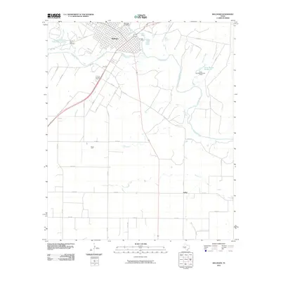
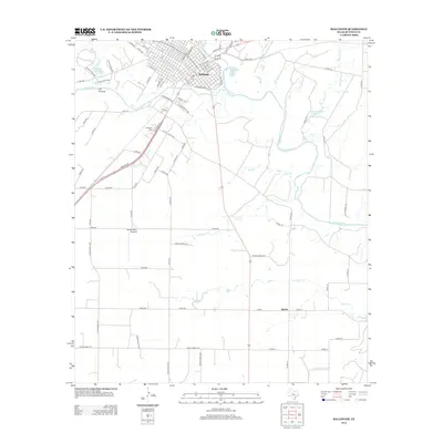
Editions of this 1892 Ballinger Map
5 editions found
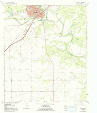
Historical Maps of Ballinger Through Time
7 maps found
Featured Locations
Source Details
SourceU.S. Geological Survey
CopyrightPublic Domain