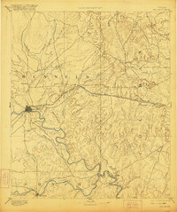
1892 Map of Ballinger
USGS Topo · Published 1920About this map
The Colorado River and its major southern tributary, the Concho River, carve a winding path through this West Texas territory surveyed in the late nineteenth century. At the center of the regional activity sits Ballinger, where the Gulf Colorado and Santa Fe Railway provides a vital transportation link to the east. The landscape transitions from the river valleys to distinctive higher ground at Bead Mountain and Robinson Peak, while smaller settlements like Paintrock and Glen Cove serve the surrounding cattle and agricultural lands. Of particular interest to local historians is the site of Trap Crossing on the Concho River, a point of passage in a landscape otherwise defined by numerous seasonal creeks and branches. This record captures the early configuration of Runnels and Coleman counties before the extensive development of modern infrastructure, showing the original rail sidings at Norwood and Talpa.
Find a feature on this map
44 named features on this map. Tap any name to fly to it.
Don’t see what you’re looking for? This feature index may not catch every label — zoom into the map to look around manually.
Map Details
Editions of this 1892 Ballinger Map
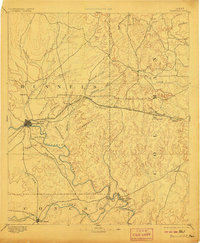
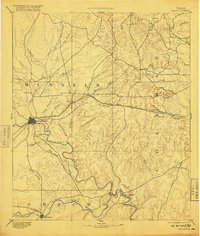
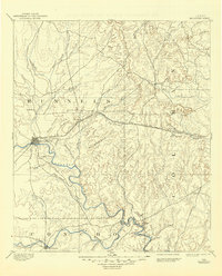
5 editions found
Other maps of this area

1887 · Coleman
USGS Topo · 1:125,000

1889 · Coleman
USGS Topo · 1:125,000

1890 · Abilene
USGS Topo · 1:125,000

1891 · Hayrick
USGS Topo · 1:125,000

1892 · San Angelo
USGS Topo · 1:125,000

1892 · Eden
USGS Topo · 1:125,000

1892 · Abilene
USGS Topo · 1:125,000

1892 · Ballinger
USGS Topo · 1:125,000

1893 · Sweetwater
USGS Topo · 1:125,000

1894 · Brady
USGS Topo · 1:125,000