Old Maps of Strickland Crossing, Texas for Academic Research
Study the evolution of Strickland Crossing with 11 high-resolution historic maps. Whether you're teaching, researching, or modeling changes in land use, these maps provide essential visual documentation of urban, environmental, and geographic change.
- Analyze long-term change: Track patterns in development, transportation, and natural features.
- Ideal for environmental or urban studies: Support academic projects with primary historical map data.
- Use in the classroom or lab: Educators and researchers rely on these maps to bring historical context to life.
These maps are a powerful tool for teaching, research, and visualizing how Strickland Crossing has changed over the decades.
Strickland Crossing, TX maps
(11)- 1953 Map of Alexandria, 1963 Print
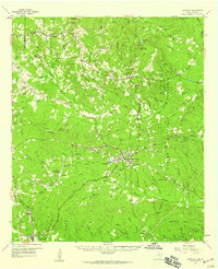
 1953 Alexandria1963 Print · USGSCentral Louisiana during the early fifties is mapped here at the intersection of the piney woods and the Red River valley. Genealogists and historians can trace the rail-and-river network connecting towns like Alexandria, Natchitoches, and the grounds of Camp Beauregard.3 unique versions available
 - 1955 Map of Alexandria
 1955 Alexandria1955 Print · USGSCentral Louisiana in the mid-fifties is a landscape of river-port cities, sprawling timberlands, and massive military reservations. Genealogists and historians can trace the rail networks of the Texas & Pacific RR and locate sites like Camp Polk Military Reservation and Natchitoches.
 - 1958 Map of Hemphill, 1959 Print
 1958 Hemphill1959 Print · USGSIn the piney woods of East Texas during the late fifties, the timber industry and rural settlements defined the landscape. Genealogists and historians can trace family burial sites like Mc Mahan Chapel Cem or locate the Austin College Forestry Camp.4 unique versions available
 - 1984 Map of Pineland North
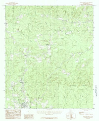 1984 Pineland North1984 Print · USGSSabine County's deep piney woods are captured here in the early eighties as the timber industry and national forest management shaped the local landscape. Researchers can locate small communities like Magasco and Pineland, or trace old routes near Strickland Crossing and Housen Bayou.
 - 1986 Map of Leesville, 1988 Print
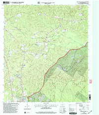
 1986 Leesville1988 Print · USGSThe Louisiana-Texas borderlands in the mid-eighties centered on the vast Toledo Bend Reservoir and the timber-rich piney woods. Researchers can trace the Kansas City Southern RR corridor or locate old communities like Wiergate, Rosevine, and Sandel.
 - 2003 Map of Pineland North, 2004 Print
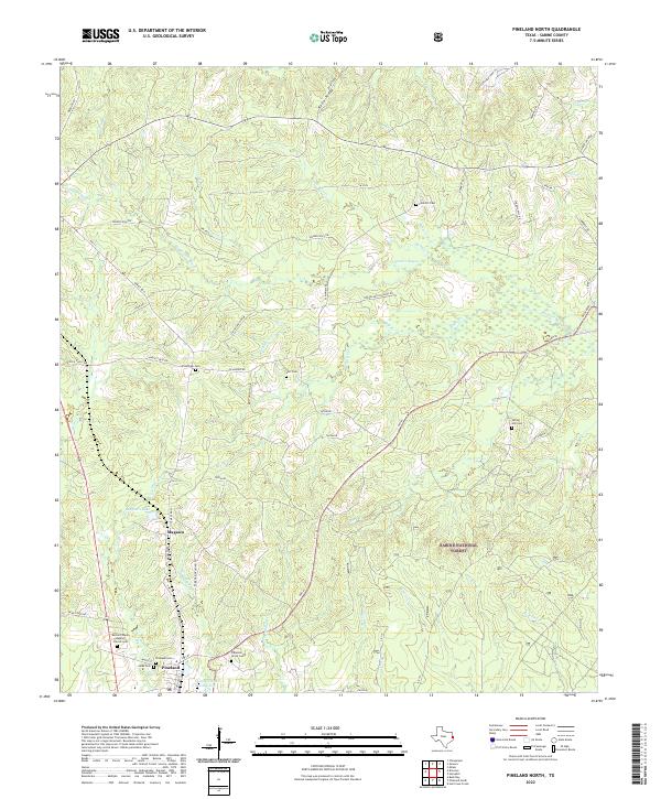
 2003 Pineland North2004 Print · USGSSabine County at the start of the century shows a landscape where timber and family heritage intersect. Genealogists and local historians can locate Whitehead Cem and Spring Hill Ch, or trace the rural routes through Strickland Crossing and Plainview.
 - 2010 Map of Pineland North, 2010 Print
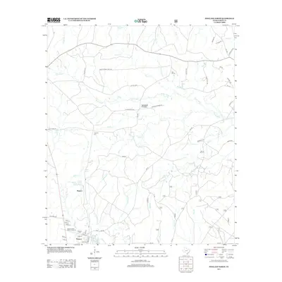
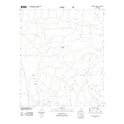 2010 Pineland North2010 Print · USGSCovers Strickland Crossing, including Pineland, Magasco, and other nearby areas
 - 2012 Map of Pineland North, 2012 Print
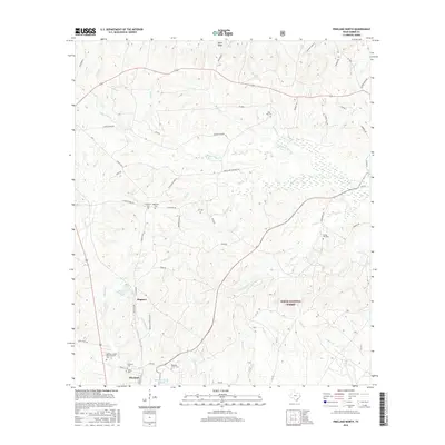
 2012 Pineland North2012 Print · USGSCovers Strickland Crossing, including Pineland, Magasco, and other nearby areas
 - 2016 Map of Pineland North, 2016 Print
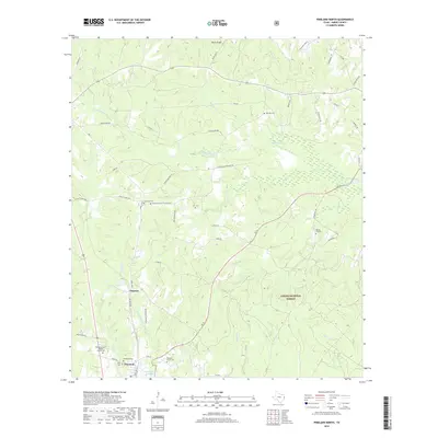
 2016 Pineland North2016 Print · USGSCovers Strickland Crossing, including Pineland, Magasco, and other nearby areas
 - 2019 Map of Pineland North, 2019 Print
 2019 Pineland North2019 Print · USGSCovers Strickland Crossing, including Pineland, Magasco, and other nearby areas
 - 2022 Map of Pineland North, 2022 Print
 2022 Pineland North2022 Print · USGSDeep in the Piney Woods during the early 2020s, this area showcases the intersection of the timber industry and rural Texas life. Genealogists can trace family footprints through numerous burial sites including Pineland Cemetery, Spring Hill Cemetery, and Plainview Cemetery.
End of results
Showing maps 1-11 of 11
Top cities near Strickland Crossing
- San Augustine historical maps
- Hemphill historical maps
- Pineland historical maps
- Browndell historical maps
Frequently asked questions
- What are the different types of historical maps available for Strickland Crossing?
- What is the oldest map of Strickland Crossing?
- Where can I purchase historical maps of Strickland Crossing for my home or office?
- Where can I download high-res historical maps of Strickland Crossing?
- Are there historical topographic maps available for Strickland Crossing?
- Is there historical aerial imagery available for Strickland Crossing?
- Where are historical maps of Strickland Crossing sourced from?