2000s (21st Century) Maps of Point Blank, Texas
Explore 10 historic maps of Point Blank from the 2000s (21st Century). These maps offer a rare glimpse into what life looked like during the 2000s — showing old roads, neighborhoods, homes, and landmarks that have changed or disappeared over time.
Whether you're researching your family's past, planning a metal detecting trip, or studying how Point Blank's landscape evolved across the 2000s, these high-resolution maps are a powerful tool for exploring the history of this region.
- Focus on a specific era: All maps on this page are from the 2000s, giving you a focused view of this time period.
- See what’s changed: Compare century-old streets, trails, and buildings to today's modern landscape using overlays and satellite layers.
- Research with precision: Use these maps for genealogy, historical research, land use analysis, or educational projects.
- View, download, or print: Maps are fully viewable online in high resolution, and can be downloaded or printed for your own records.
Start exploring Point Blank's history through authentic maps from the 2000s. This is your window into the past.
Point Blank, TX maps
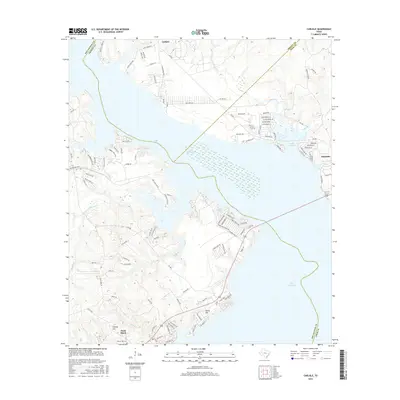
(10)- 2010 Map of Carlisle, 2010 Print
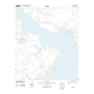 2010 Carlisle2010 Print · USGSCovers Point Blank, including Onalaska, Darby Hill, and other nearby areas
 - 2010 Map of Stephen Creek, 2010 Print
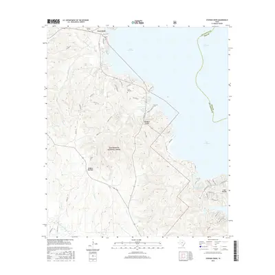
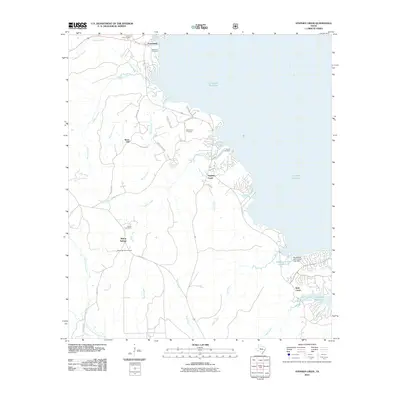 2010 Stephen Creek2010 Print · USGSCovers Point Blank, including Wolf Creek, Snow Hill, and other nearby areas
 - 2013 Map of Stephen Creek, 2013 Print
 2013 Stephen Creek2013 Print · USGSCovers Point Blank, including Wolf Creek, Snow Hill, and other nearby areas
 - 2013 Map of Carlisle, 2013 Print
 2013 Carlisle2013 Print · USGSCovers Point Blank, including Onalaska, Darby Hill, and other nearby areas
 - 2016 Map of Stephen Creek, 2016 Print
 2016 Stephen Creek2016 Print · USGSCovers Point Blank, including Wolf Creek, Snow Hill, and other nearby areas
 - 2016 Map of Carlisle, 2016 Print
 2016 Carlisle2016 Print · USGSCovers Point Blank, including Onalaska, Darby Hill, and other nearby areas
 - 2019 Map of Carlisle, 2019 Print
 2019 Carlisle2019 Print · USGSCovers Point Blank, including Onalaska, Darby Hill, and other nearby areas
 - 2019 Map of Stephen Creek, 2019 Print
 2019 Stephen Creek2019 Print · USGSCovers Point Blank, including Wolf Creek, Snow Hill, and other nearby areas
 - 2022 Map of Stephen Creek, 2022 Print
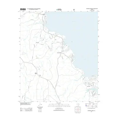
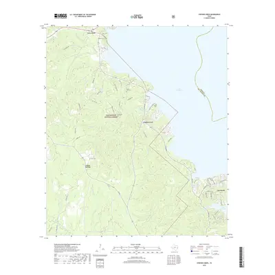
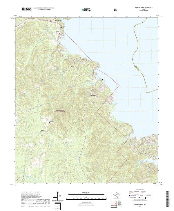 2022 Stephen Creek2022 Print · USGSThe East Texas timberlands and the western shores of Lake Livingston are captured here in recent detail. Researchers can trace family history through numerous forest burial sites like Robinson Cem and Carter Cem or explore the rural community of Point Blank.
 - 2022 Map of Carlisle, 2022 Print
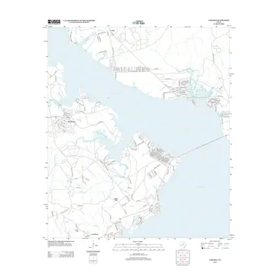
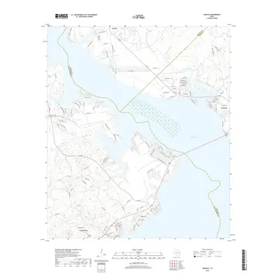
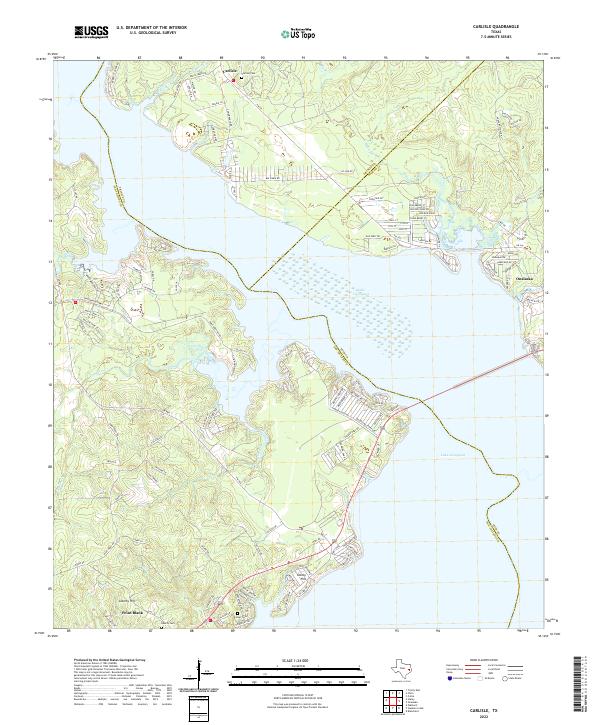 2022 Carlisle2022 Print · USGSThe shorelines of San Jacinto and Polk counties are captured in this recent survey of the Lake Livingston area. Researchers can trace local landmarks from Carlisle and Onalaska to quiet rural spots like Darby Hill and Foster Cem.
End of results
Showing maps 1-10 of 10
Top cities near Point Blank
Top neighborhoods of Point Blank
Frequently asked questions
- What are the different types of historical maps available for Point Blank?
- What is the oldest map of Point Blank?
- Where can I purchase historical maps of Point Blank for my home or office?
- Where can I download high-res historical maps of Point Blank?
- Are there historical topographic maps available for Point Blank?
- Is there historical aerial imagery available for Point Blank?
- Where are historical maps of Point Blank sourced from?