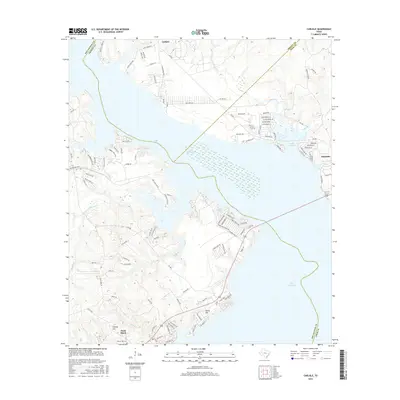
2016 Map of Carlisle
USGS Topo · Published 2016About this map
Lake Livingston dominates the landscape of East Texas, where the boundaries of San Jacinto, Trinity, and Polk counties converge. The shoreline is densely subdivided, particularly around the community of Onalaska and the Waterwood Parkway development, showcasing the shift from rural timberland to lakeside residential and recreational use. On the western shore, Point Blank and the smaller settlement of Carlisle sit among the piney woods, connected by winding farm-to-market roads like FM 980 and FM 356. The interior remains defined by its natural drainage, with water bodies such as Palmetto Creek, Harts Creek, and Mill Creek carving through the terrain towards the reservoir. High points like Liberty Hill and Darby Hill provide relief in an otherwise low-lying area, while the Liberty Hill Cemetery serves as a quiet marker of the region's long-established local genealogy.
Find a feature on this map
110 named features on this map. Tap any name to fly to it.
Don’t see what you’re looking for? This feature index may not catch every label — zoom into the map to look around manually.
Map Details
Editions of this 2016 Carlisle Map
This is the sole edition of this map. No revisions or reprints were ever made.
Other maps of this area

1954 · Beaumont
USGS Topo · 1:250,000

1957 · Beaumont
USGS Topo · 1:250,000

1960 · Blanchard
USGS Topo · 1:24,000

1960 · Colita
USGS Topo · 1:24,000

1960 · Trinity East
USGS Topo · 1:24,000

1960 · Carlisle
USGS Topo · 1:24,000

1960 · Stephen Creek
USGS Topo · 1:24,000

1961 · Staley
USGS Topo · 1:24,000

1961 · Onalaska
USGS Topo · 1:24,000

1961 · Oakhurst
USGS Topo · 1:24,000