2000s (21st Century) Maps of San Saba, Texas
Explore 10 historic maps of San Saba from the 2000s (21st Century). These maps offer a rare glimpse into what life looked like during the 2000s — showing old roads, neighborhoods, homes, and landmarks that have changed or disappeared over time.
Whether you're researching your family's past, planning a metal detecting trip, or studying how San Saba's landscape evolved across the 2000s, these high-resolution maps are a powerful tool for exploring the history of this region.
- Focus on a specific era: All maps on this page are from the 2000s, giving you a focused view of this time period.
- See what’s changed: Compare century-old streets, trails, and buildings to today's modern landscape using overlays and satellite layers.
- Research with precision: Use these maps for genealogy, historical research, land use analysis, or educational projects.
- View, download, or print: Maps are fully viewable online in high resolution, and can be downloaded or printed for your own records.
Start exploring San Saba's history through authentic maps from the 2000s. This is your window into the past.
San Saba, TX maps
(10)- 2010 Map of San Saba, 2010 Print
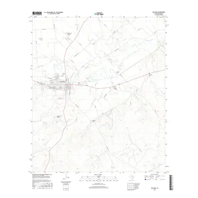
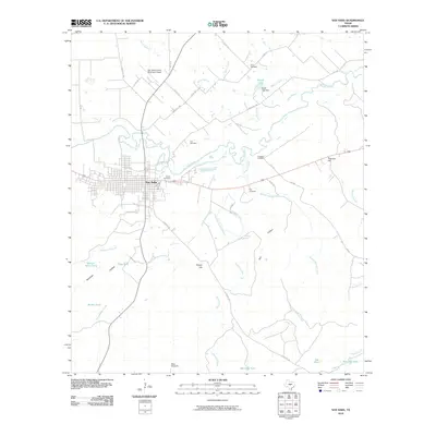 2010 San Saba2010 Print · USGSCovers San Saba, including San Saba County, United States, and other nearby areas
 - 2010 Map of Algerita, 2010 Print
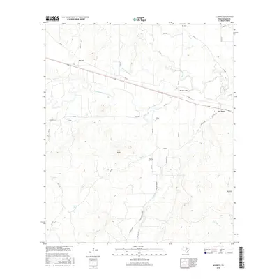
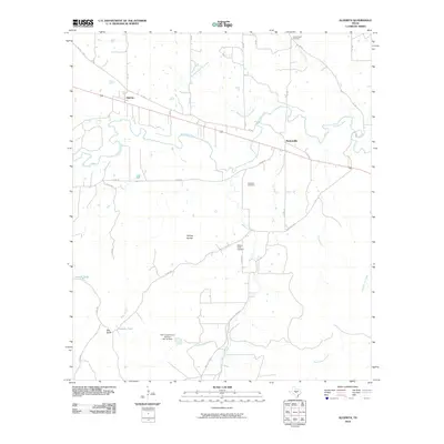 2010 Algerita2010 Print · USGSCovers San Saba, including Algerita, Harkeyville, and other nearby areas
 - 2012 Map of Algerita, 2012 Print
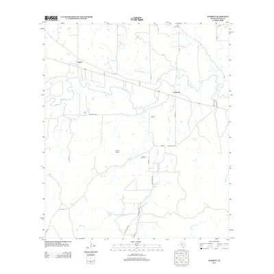 2012 Algerita2012 Print · USGSCovers San Saba, including Algerita, Harkeyville, and other nearby areas
 - 2013 Map of San Saba, 2013 Print
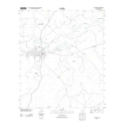 2013 San Saba2013 Print · USGSCovers San Saba, including San Saba County, United States, and other nearby areas
 - 2016 Map of Algerita, 2016 Print
 2016 Algerita2016 Print · USGSCovers San Saba, including Algerita, Harkeyville, and other nearby areas
 - 2016 Map of San Saba, 2016 Print
 2016 San Saba2016 Print · USGSCovers San Saba, including San Saba County, United States, and other nearby areas
 - 2019 Map of San Saba, 2019 Print
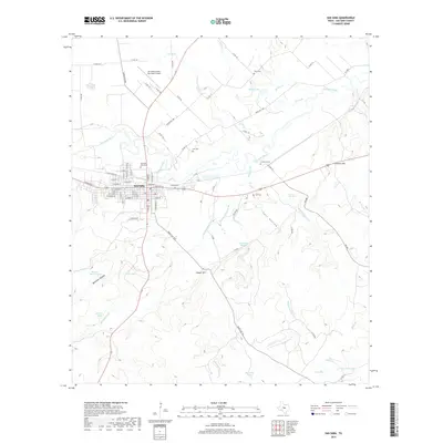 2019 San Saba2019 Print · USGSCovers San Saba, including San Saba County, United States, and other nearby areas
 - 2019 Map of Algerita, 2019 Print
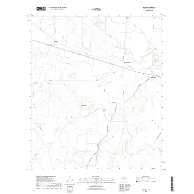 2019 Algerita2019 Print · USGSCovers San Saba, including Algerita, Harkeyville, and other nearby areas
 - 2022 Map of San Saba, 2022 Print
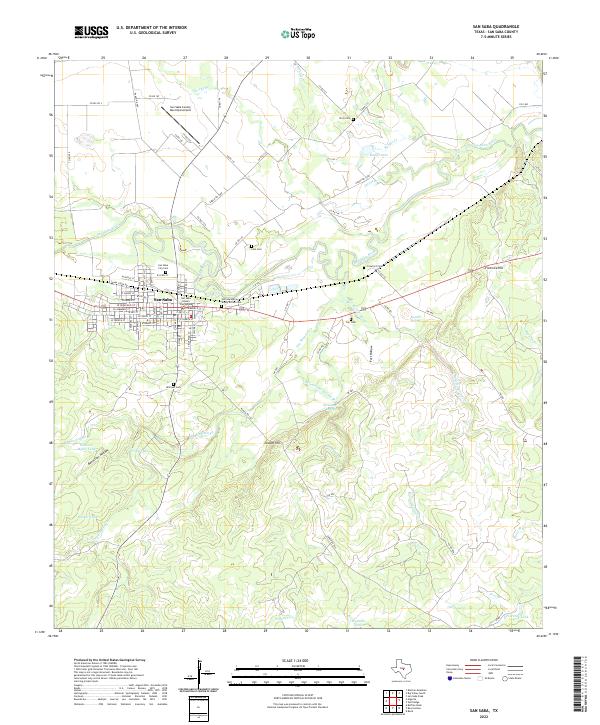 2022 San Saba2022 Print · USGSSan Saba and the surrounding ranchlands are documented here in the early twenty-first century, centered on the historic county seat. Researchers can locate several family cemeteries such as the John Humphrey Shorty Brown Cem and the Linn Cem, or trace the course of the San Saba River.
 - 2022 Map of Algerita, 2022 Print
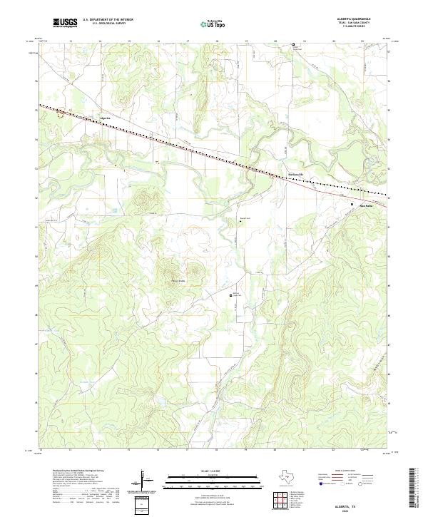 2022 Algerita2022 Print · USGSThe ranchlands of San Saba County appear in the early 2020s as a landscape of river-valley settlements and rural watersheds. Genealogists can trace family connections at China Creek Cem or Barnett Cem while exploring the environs of Algerita and the San Saba River.
End of results
Showing maps 1-10 of 10
Top cities near San Saba
Frequently asked questions
- What are the different types of historical maps available for San Saba?
- What is the oldest map of San Saba?
- Where can I purchase historical maps of San Saba for my home or office?
- Where can I download high-res historical maps of San Saba?
- Are there historical topographic maps available for San Saba?
- Is there historical aerial imagery available for San Saba?
- Where are historical maps of San Saba sourced from?