Old Maps of San Saba, Texas for Hiking & Exploration
Hike through history with 19 historic maps of San Saba. Explore old trails, ghost towns, and forgotten backroads — perfect for outdoor adventurers and local explorers.
- Rediscover forgotten places: Map out old mining camps, roads, and footpaths that no longer exist on modern maps.
- Layer with modern tools: Combine with LiDAR or satellite views to plan hikes through historical terrain.
- Made for exploration: Popular among hikers, overlanders, and local history lovers.
Use these maps to find adventure and explore the hidden past of San Saba.
San Saba, TX maps
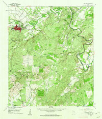
(19)- 1885 Map of San Saba
 1885 San Saba1885 Print · USGSCentral Texas in the late nineteenth century comes alive through this survey of the river valleys and high knobs. Genealogists and researchers can trace the early foundations of San Saba and Goldthwaite, or find forgotten locations like Regency and Bendy.
 - 1894 Map of San Saba
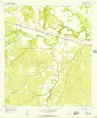
 1894 San Saba1894 Print · USGSCentral Texas in the late nineteenth century is defined here by the meeting of the San Saba River and the Colorado River. Researchers can trace the path of the Gulf Colorado and Santa Fe Railroad near Goldthwaite or locate early settlements like Richland Springs and Red Bluff.4 unique versions available
 - 1931 Map of Bend
 1931 Bend1931 Print · USGSThe confluence of the Colorado and San Saba rivers in the mid-1920s reveals a rural Texas landscape of river crossings and country schools. Genealogists can trace early homesteads near Bend, the Bend Cem, and several local schoolhouses like Colony Sch.2 unique versions available
 - 1954 Map of Brownwood, 1955 Print
 1954 Brownwood1955 Print · USGSCentral Texas in the early fifties shows a landscape of rail-linked cattle towns and winding river valleys before modern highway expansion. Genealogists and historians can trace family-named peaks and vanished rail stops like Trickham, Santa Anna, and the Brady Mountains.3 unique versions available
 - 1956 Map of Algerita, 1957 Print
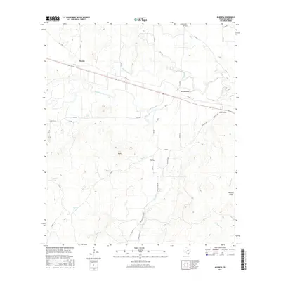
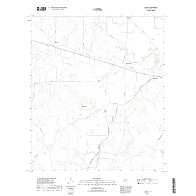
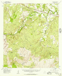 1956 Algerita1957 Print · USGSSan Saba County ranching and rail life are captured here during the mid-fifties, centered on the river valley and the Santa Fe railroad line. Researchers can locate family-named landmarks like the Sloan Sister Ranch, Maxwell Cem, and the Wallace Creek Sch.
 - 1956 Map of Algerita, 1957 Print
 1956 Algerita1957 Print · USGSSan Saba County in the mid-fifties remains a landscape of quiet cattle ranches and riverside settlements along the San Saba River. Genealogists can locate family landmarks like Ellis Ranch and the Davidson Cemetery or trace the old Gulf Colorado and Santa Fe (AT & SF) rail line.2 unique versions available
 - 1959 Map of San Saba, 1960 Print
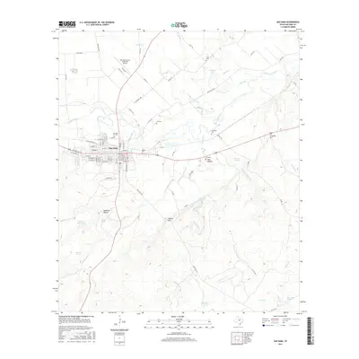
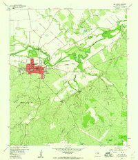 1959 San Saba1960 Print · USGSSan Saba at the end of the fifties remained a vital riverside hub for Central Texas ranching and rail commerce. Family historians can trace numerous rural burial sites like Linn Cem and Pecan Grove Ch along the winding San Saba River.3 unique versions available
 - 1959 Map of San Saba, 1962 Print
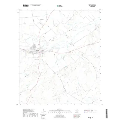
 1959 San Saba1962 Print · USGSSan Saba sits at the heart of this Texas Hill Country landscape during the late fifties, where the river meets a network of ranching roads. Researchers can trace family lines through Pecan Grove Cem and Terry Cem or locate the old High Valley Sch.
 - 1985 Map of San Saba
 1985 San Saba1985 Print · USGSCentral Texas in the mid-eighties was a landscape of river-valley ranching and quiet railroad towns. Researchers can trace family history through sites like San Saba Cem, follow the Atchison Topeka and Santa Fe line, or explore landmarks near Pecan Bayou.2 unique versions available
 - 2010 Map of San Saba, 2010 Print
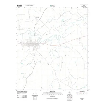 2010 San Saba2010 Print · USGSCovers San Saba, including San Saba County, United States, and other nearby areas
 - 2010 Map of Algerita, 2010 Print
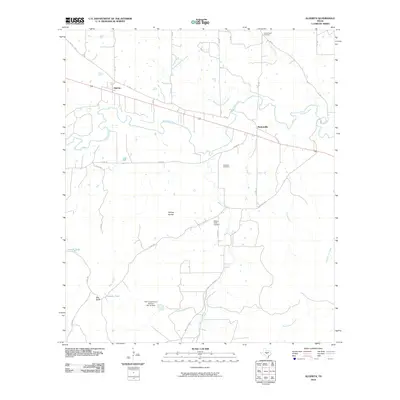 2010 Algerita2010 Print · USGSCovers San Saba, including Algerita, Harkeyville, and other nearby areas
 - 2012 Map of Algerita, 2012 Print
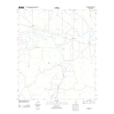 2012 Algerita2012 Print · USGSCovers San Saba, including Algerita, Harkeyville, and other nearby areas
 - 2013 Map of San Saba, 2013 Print
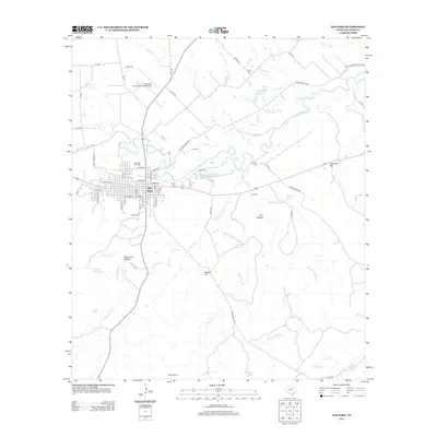 2013 San Saba2013 Print · USGSCovers San Saba, including San Saba County, United States, and other nearby areas
 - 2016 Map of Algerita, 2016 Print
 2016 Algerita2016 Print · USGSCovers San Saba, including Algerita, Harkeyville, and other nearby areas
 - 2016 Map of San Saba, 2016 Print
 2016 San Saba2016 Print · USGSCovers San Saba, including San Saba County, United States, and other nearby areas
 - 2019 Map of San Saba, 2019 Print
 2019 San Saba2019 Print · USGSCovers San Saba, including San Saba County, United States, and other nearby areas
 - 2019 Map of Algerita, 2019 Print
 2019 Algerita2019 Print · USGSCovers San Saba, including Algerita, Harkeyville, and other nearby areas
 - 2022 Map of San Saba, 2022 Print
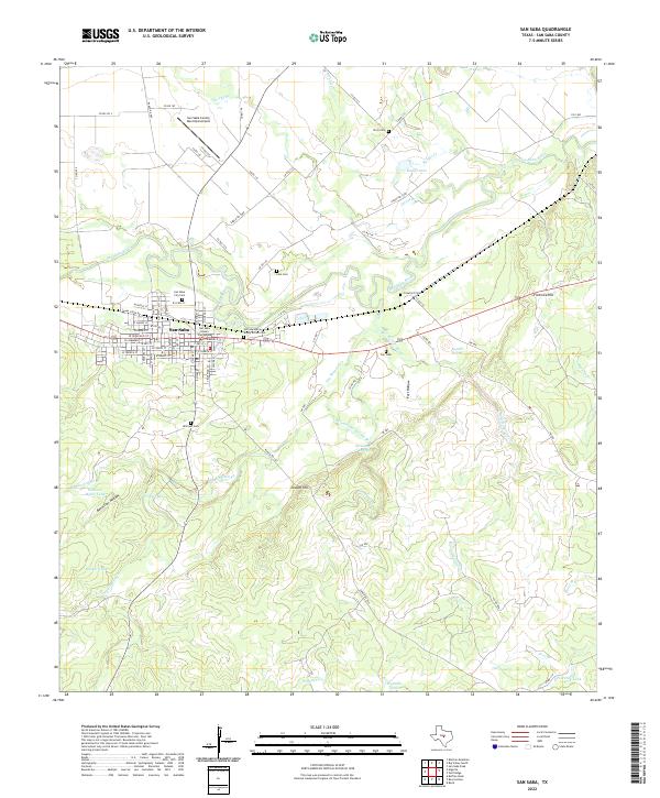 2022 San Saba2022 Print · USGSSan Saba and the surrounding ranchlands are documented here in the early twenty-first century, centered on the historic county seat. Researchers can locate several family cemeteries such as the John Humphrey Shorty Brown Cem and the Linn Cem, or trace the course of the San Saba River.
 - 2022 Map of Algerita, 2022 Print
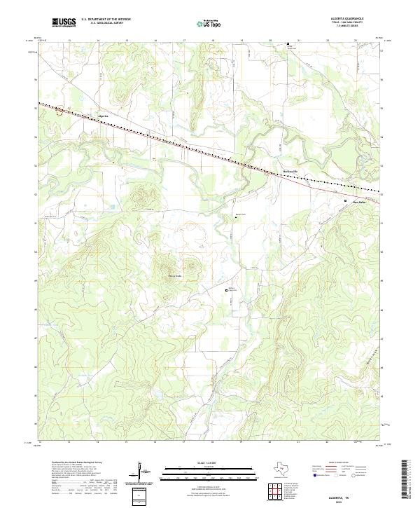 2022 Algerita2022 Print · USGSThe ranchlands of San Saba County appear in the early 2020s as a landscape of river-valley settlements and rural watersheds. Genealogists can trace family connections at China Creek Cem or Barnett Cem while exploring the environs of Algerita and the San Saba River.
End of results
Showing maps 1-19 of 19
Top cities near San Saba
Frequently asked questions
- What are the different types of historical maps available for San Saba?
- What is the oldest map of San Saba?
- Where can I purchase historical maps of San Saba for my home or office?
- Where can I download high-res historical maps of San Saba?
- Are there historical topographic maps available for San Saba?
- Is there historical aerial imagery available for San Saba?
- Where are historical maps of San Saba sourced from?