Old Maps of Schertz, Texas for Hiking & Exploration
Hike through history with 51 historic maps of Schertz. Explore old trails, ghost towns, and forgotten backroads — perfect for outdoor adventurers and local explorers.
- Rediscover forgotten places: Map out old mining camps, roads, and footpaths that no longer exist on modern maps.
- Layer with modern tools: Combine with LiDAR or satellite views to plan hikes through historical terrain.
- Made for exploration: Popular among hikers, overlanders, and local history lovers.
Use these maps to find adventure and explore the hidden past of Schertz.
Schertz, TX maps
(51)- 1927 Map of New Braunfels
 1927 New Braunfels1927 Print · USGSNew Braunfels and the surrounding river valleys are captured here during the mid-twenties, when the regional rail and school networks were at their peak. Genealogists and historians can trace family locations near landmarks like Gaudalupe College, Hortontown Cemetery, and dozens of rural schoolhouses like Austin Hill School.3 unique versions available
 - 1953 Map of Schertz, 1959 Print
 1953 Schertz1959 Print · USGSThe Texas countryside between San Antonio and Seguin comes alive in the mid-fifties as the rail-and-road network expanded around Randolph Field. Genealogists and historians can trace family-named sites like Davenport Cem, explore the early footprint of Schertz, and locate landmarks such as the Radio Tower (WOAI).
 - 1953 Map of Bat Cave, 1959 Print
 1953 Bat Cave1959 Print · USGSComal and Bexar counties meet in this mid-century Texas Hill Country survey where railroads and creeks define the landscape. Trace early family landmarks like the Weilbacher Cem, visit the Bracken Ch, or locate the namesake Bat Cave.
 - 1953 Map of Martinez, 1959 Print
 1953 Martinez1959 Print · USGSEastern Bexar County at the dawn of the fifties shows a landscape shaped by historical trails and strategic military aviation. Researchers can trace the development of China Grove and Martinez or locate the Martindale National Guard Airfield.
 - 1954 Map of San Antonio, 1964 Print
 1954 San Antonio1964 Print · USGSSan Antonio and the Texas Hill Country are captured here in the mid-fifties, showing a landscape defined by massive military air bases and the rising Canyon Reservoir. Trace family ties through historic rail towns like D'Hanis and Castroville or explore the Cold War footprint of Lackland AFB and Randolph AFB.3 unique versions available
 - 1957 Map of San Antonio
 1957 San Antonio1957 Print · USGSSan Antonio and the Texas Hill Country are shown here during the mid-fifties, capturing the region's expanding post-war military and transportation footprint. Genealogists and local historians can trace the early residential boundaries of Alamo Heights or locate rural landmarks like St Hedwig and Medina Lake.
 - 1958 Map of Marion, 1961 Print
 1958 Marion1961 Print · USGSGuadalupe County in the late fifties remains a rural landscape defined by railroad towns and creek-side settlements. Local researchers can trace family landmarks like Slappers Cem, St Paul Ch, and the Lower Valley Sch along the Cibolo Creek corridor.2 unique versions available
 - 1958 Map of Saint Hedwig, 1961 Print
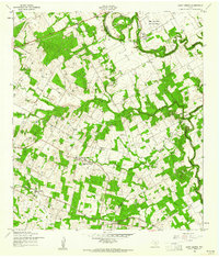 1958 Saint Hedwig1961 Print · USGSEast of San Antonio in the late fifties, this area shows the meeting point of Bexar, Guadalupe, and Wilson counties. Trace the rural landscape through Saint Hedwig and Zuehl, locating family landmarks like Goebel Sch and Hebron Ch.2 unique versions available
 - 1958 Map of New Braunfels West, 1961 Print
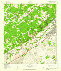 1958 New Braunfels West1961 Print · USGSNew Braunfels and the surrounding Texas hill country are captured in the late fifties as the town began its postwar expansion. Genealogists and historians can trace the footprint of rural education at Lone Star Sch or locate family landmarks like Krueger Ranch and the community of Dittlinger.2 unique versions available
 - 1967 Map of Martinez, 1969 Print
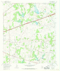 1967 Martinez1969 Print · USGSBexar County in the late sixties shows a landscape of steady rural growth and evolving water management projects. Researchers can trace family history through numerous landmarks like St Jerome Ch, Mount Olive Cem, and the community of China Grove.2 unique versions available
 - 1967 Map of Bat Cave, 1969 Print
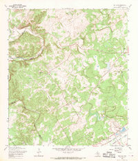 1967 Bat Cave1969 Print · USGSThe Comal County hill country comes to life in the late 1960s, showing the intersection of rail history and natural wonders. Genealogists can locate family sites like Hillert Cem and Kruetler Cem near the rail junction at Ogden.2 unique versions available
 - 1967 Map of Schertz, 1970 Print
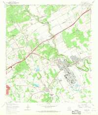 1967 Schertz1970 Print · USGSBexar and Guadalupe counties are captured in a period of rapid suburban growth in the late sixties. Genealogists can trace family names at Davenport Cem and Wheeler Cem while exploring the layout of Randolph Air Force Base.2 unique versions available
 - 1985 Map of New Braunfels
 1985 New Braunfels1985 Print · USGSThe Texas Hill Country meets the growing San Antonio suburbs in the mid-1980s, showing a landscape of river-fed towns and military grounds. Trace family roots in historic Gruene or Boerne, and locate landmarks like Canyon Lake and Randolph Air Force Base.
 - 1985 Map of San Antonio
 1985 San Antonio1985 Print · USGSSan Antonio and its surrounding hill country are captured in the mid-eighties during a period of significant suburban and military expansion. Genealogists and historians can trace the footprint of Kelly Air Force Base, old rail lines like the Missouri-Kansas-Texas, and smaller communities like Saspamco or Zuehl.3 unique versions available
 - 1988 Map of Bat Cave
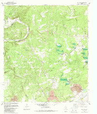 1988 Bat Cave1988 Print · USGSThe Comal and Bexar county line area is captured here in the late eighties, showing a landscape defined by its famous caverns and limestone creeks. Genealogists can locate family burial sites like Weilbacher Cem and landmarks such as Bat Cave or Bracken Ch.
 - 1988 Map of New Braunfels West
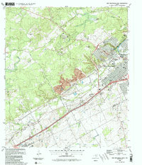 1988 New Braunfels West1988 Print · USGSThe Texas Hill Country outskirts meet industrial growth in the late eighties as New Braunfels expands westward. Researchers can trace family ranchlands like Krueger Ranch, explore the industrial layout of Dittlinger, and locate historic community sites like Seele Sch and Solms.2 unique versions available
 - 1992 Map of Marion
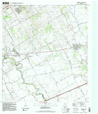 1992 Marion1992 Print · USGSThe rural corridors and developing towns of Guadalupe and Bexar Counties are captured here in the early nineties. Researchers can trace the Southern Pacific rail line through Marion or locate landmarks like St Paul Church and the Haeckerville community.2 unique versions available
 - 1992 Map of Martinez
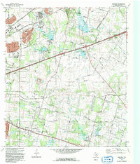 1992 Martinez1992 Print · USGSBexar County's eastern landscape is shown in the early nineties as suburban expansion met established rural settlements. Family historians can trace roots through the St Jerome Ch and Salem Cem, or locate the Martindale Army Airfield.
 - 1992 Map of New Braunfels
 1992 New Braunfels1992 Print · USGSThe San Antonio and New Braunfels corridor was expanding rapidly in the early nineties, balancing heavy military presence with Hill Country recreation. Trace the footprint of CAMP BULLIS MILITARY RESERVATION or locate old railroad stops along the Southern Pacific and Missouri Pacific lines.2 unique versions available
 - 1992 Map of Saint Hedwig
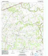 1992 Saint Hedwig1992 Print · USGSBexar County's rural eastern edge is documented in the early nineties, showing a landscape of creek-side settlements and legacy rail lines. Researchers can trace historic family routes along Graytown Road or locate landmarks like Hebron Ch and Sculls Crossing (Ford).
 - 1992 Map of Schertz
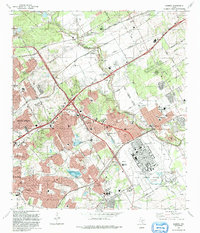 1992 Schertz1992 Print · USGSThe northeast San Antonio corridor was rapidly urbanizing in the early nineties, centered on the flight lines of Randolph Air Force Base. Genealogists can locate family burial sites at Sahm Cem or Wheeler Cem, while tracing the rail-side growth of Bracken and Selma.
 - 2010 Map of Bat Cave, 2010 Print
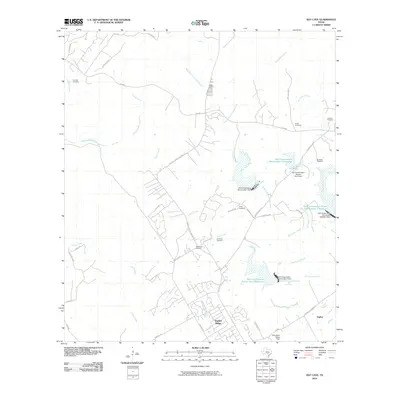 2010 Bat Cave2010 Print · USGSNear the Comal and Bexar county line in the early twenty-first century, this area shows a landscape of suburban growth amidst long-standing family ranches. Researchers can locate numerous family burial sites like Hillert Cemetery and Romple Cemetery or trace the drainage of Cibolo Creek.
 - 2010 Map of New Braunfels West, 2010 Print
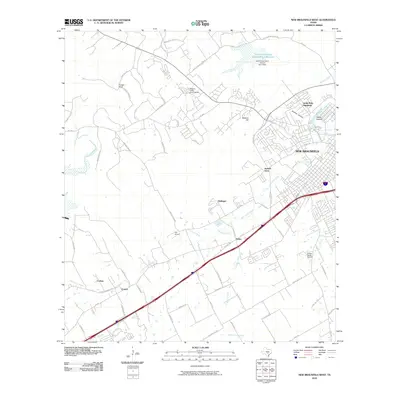 2010 New Braunfels West2010 Print · USGSThe outskirts of New Braunfels and the Comal County landscape are captured here during a period of suburban transition. Local historians can trace the foundations of communities like Solms and Dittlinger or locate family-named landmarks such as Krueger Ranch.
 - 2010 Map of Schertz, 2010 Print
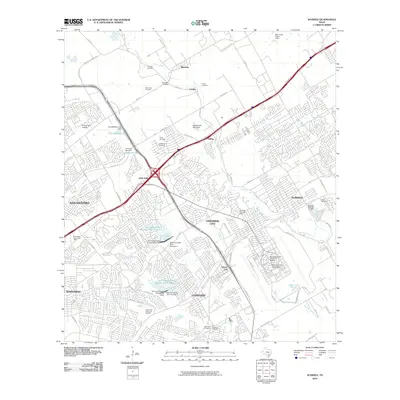 2010 Schertz2010 Print · USGSThe northern suburbs of San Antonio and the strategic military lands of Randolph Air Force Base are captured in this 2010 study. Genealogists and local historians can trace old family burial grounds like Sahm Cemetery and Grote Cemetery or locate landmarks like Comanche Lookout.
 - 2010 Map of Saint Hedwig, 2010 Print
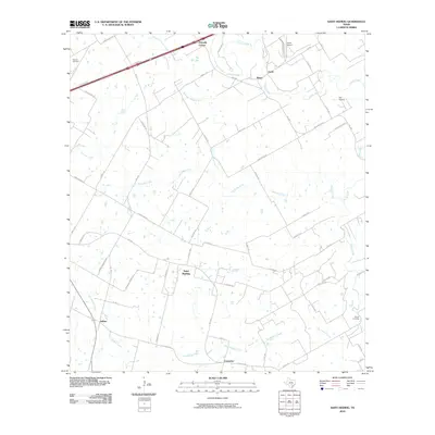 2010 Saint Hedwig2010 Print · USGSBexar County's eastern reaches are shown here in the early twenty-first century as rural communities and aviation hubs expand. Genealogists and local historians can trace family land along Cibolo Creek and locate landmarks like Saint Hedwig and Kempin Cemetery.
Showing maps 1-25 of 51
Top cities near Schertz
- San Antonio historical maps
- New Braunfels historical maps
- Seguin historical maps
- Universal City historical maps
- Converse historical maps
- Live Oak historical maps
See more
Top neighborhoods of Schertz
Frequently asked questions
- What are the different types of historical maps available for Schertz?
- What is the oldest map of Schertz?
- Where can I purchase historical maps of Schertz for my home or office?
- Where can I download high-res historical maps of Schertz?
- Are there historical topographic maps available for Schertz?
- Is there historical aerial imagery available for Schertz?
- Where are historical maps of Schertz sourced from?