Old Maps of Adams, Texas for Academic Research
Study the evolution of Adams with 11 high-resolution historic maps. Whether you're teaching, researching, or modeling changes in land use, these maps provide essential visual documentation of urban, environmental, and geographic change.
- Analyze long-term change: Track patterns in development, transportation, and natural features.
- Ideal for environmental or urban studies: Support academic projects with primary historical map data.
- Use in the classroom or lab: Educators and researchers rely on these maps to bring historical context to life.
These maps are a powerful tool for teaching, research, and visualizing how Adams has changed over the decades.
Adams, TX maps
(11)- 1893 Map of Fort McKavett
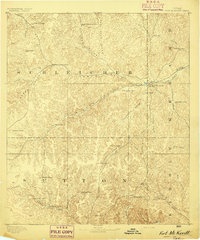 1893 Fort McKavett1893 Print · USGSCentral West Texas ranching life is frozen in time during the 1890s as the frontier era transitions to established livestock spreads. Trace family landholdings and early outposts like Fort McKavett, S.S.S. Ranch, and Henderson Brothers Ranch.4 unique versions available
 - 1954 Map of Sonora, 1965 Print
 1954 Sonora1965 Print · USGSThe Edwards Plateau and West Texas ranching country come alive in this mid-century survey of the canyons and plateaus. Genealogists and historians can trace the remote settlements of Pandale and Loma Alta or follow the path of the Panhandle and Santa Fe RR.2 unique versions available
 - 1958 Map of Sonora
 1958 Sonora1958 Print · USGSThe Edwards Plateau and Trans-Pecos region come alive in the late fifties, showing a landscape of remote ranchlands and historic frontier outposts. Trace the legacy of Fort Lancaster Ruins, the limestone depths of Devils Sinkhole Cavern, and the path of the Pecos River.
 - 1963 Map of Adams, 1966 Print
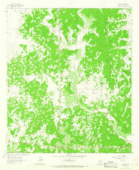 1963 Adams1966 Print · USGSSchleicher County in the early 1960s was a landscape defined by ranching terrain and the growing energy sector. Genealogists and historians can trace the O Harrow Oil Field and local landmarks like Adams and Montgomery.2 unique versions available
 - 1985 Map of Sonora, 1986 Print
 1985 Sonora1986 Print · USGSThe Edwards Plateau in the mid-1980s reveals a landscape of ranching heritage and expanding energy production. Researchers can trace the Old Railroad Grade, locate the historic Fort McKavett, and explore the extent of the Steen Gas Field.
 - 1994 Map of Sonora
 1994 Sonora1994 Print · USGSThe West Texas ranching and energy country around Sonora and Eldorado comes to life in this mid-nineties survey. Researchers can trace the extensive Page Oil and Gas Field network, locate the Caverns of Sonora, and follow the headwaters of the North Llano River.
 - 2010 Map of Adams, 2010 Print
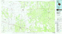
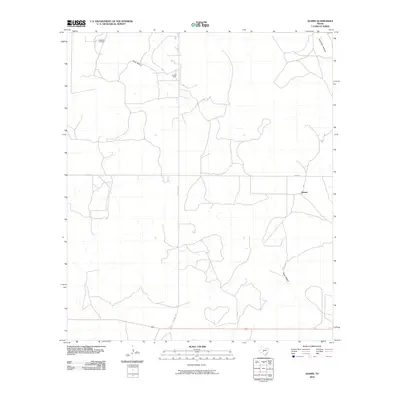 2010 Adams2010 Print · USGSCovers Adams, including Schleicher County, United States, and other nearby areas
 - 2012 Map of Adams, 2012 Print
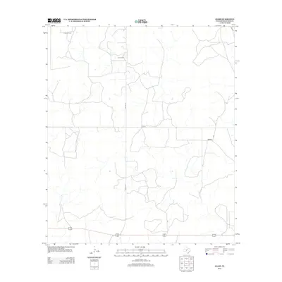 2012 Adams2012 Print · USGSCovers Adams, including Schleicher County, United States, and other nearby areas
 - 2016 Map of Adams, 2016 Print
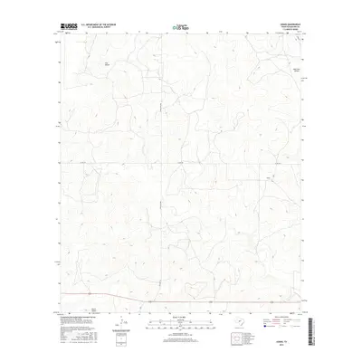 2016 Adams2016 Print · USGSCovers Adams, including Schleicher County, United States, and other nearby areas
 - 2019 Map of Adams, 2019 Print
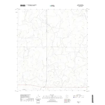 2019 Adams2019 Print · USGSCovers Adams, including Schleicher County, United States, and other nearby areas
 - 2022 Map of Adams, 2022 Print
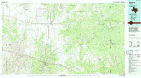
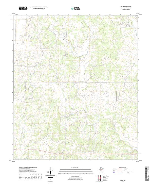 2022 Adams2022 Print · USGSSchleicher County ranching country is shown here in the early 2020s, highlighting the isolated road networks and drainage basins of the plateau. Researchers can trace the path of the evocative Toe Nail Trl as it winds through terrain marked by Poor Hollow and North Valley.
End of results
Showing maps 1-11 of 11
Frequently asked questions
- What are the different types of historical maps available for Adams?
- What is the oldest map of Adams?
- Where can I purchase historical maps of Adams for my home or office?
- Where can I download high-res historical maps of Adams?
- Are there historical topographic maps available for Adams?
- Is there historical aerial imagery available for Adams?
- Where are historical maps of Adams sourced from?