Old Maps of Winona, Texas for Academic Research
Study the evolution of Winona with 20 high-resolution historic maps. Whether you're teaching, researching, or modeling changes in land use, these maps provide essential visual documentation of urban, environmental, and geographic change.
- Analyze long-term change: Track patterns in development, transportation, and natural features.
- Ideal for environmental or urban studies: Support academic projects with primary historical map data.
- Use in the classroom or lab: Educators and researchers rely on these maps to bring historical context to life.
These maps are a powerful tool for teaching, research, and visualizing how Winona has changed over the decades.
Winona, TX maps
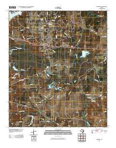
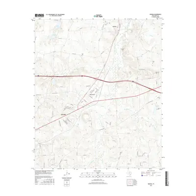
(20)- 1938 Map of Winona
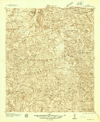 1938 Winona1938 Print · USGSSmith County during the late thirties was a landscape of close-knit rural communities and a burgeoning highway system. Family historians can trace numerous rural schoolhouses and churches like the Maggie Murphy Sch and White Chapel, alongside the St Louis Southwestern Line railroad.
 - 1943 Map of Winona
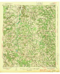 1943 Winona1943 Print · USGSThe rural landscape of Smith County is captured here just before the mid-century, showing a vibrant network of community schools and churches. Genealogists can trace family footprints through sites like Seastrunk Cem, Maggie Murphy Sch, and the St Louis Southwestern rail line.2 unique versions available
 - 1956 Map of Tyler
 1956 Tyler1956 Print · USGSEast Texas was a powerhouse of oil production and rail transport during the mid-fifties, centered on the sprawling East Texas Oil Field. Researchers can trace the heritage of industrial hubs like Kilgore, military sites such as the Longhorn Ordnance Works, and many rural landmarks like Mount Enterprise.5 unique versions available
 - 1960 Map of Hawkins, 1961 Print
 1960 Hawkins1961 Print · USGSHawkins and the Sabine River valley are shown here during the peak of the local oil boom in the early sixties. Researchers can trace family sites near Jarvis Christian College, find old burials at Liberty Cem, or locate the Hawkins Oil Field wells.3 unique versions available
 - 1966 Map of Winona, 1969 Print
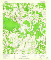
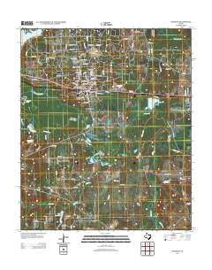
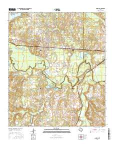
 1966 Winona1969 Print · USGSMid-century Smith County is captured during a period of institutional growth along the St Louis Southwestern rail line. Genealogists can trace family names at McDougle Cem, Ingram Cem, and the East Texas Tuberculosis Hospital.2 unique versions available
 - 1984 Map of Tyler
 1984 Tyler1984 Print · USGSEast Texas at the peak of its reservoir-building era shows a landscape defined by new lakes and established rail corridors. Trace the path of the St Louis Southwestern RR or locate industrial sites like the Longhorn Ordnance Works.3 unique versions available
 - 1985 Map of Tyler
 1985 Tyler1985 Print · USGSEast Texas in the mid-eighties centers on the growth of Tyler and the expansive waters of Lake Palestine. Genealogists and researchers can trace family landmarks like Henry's Chapel and Browning Cem alongside the routes of the Southern Pacific RR.
 - 1985 Map of Mineola
 1985 Mineola1985 Print · USGSUpper East Texas in the mid-eighties shows a region shaped by the Sabine River and large-scale water projects. Researchers can trace the rail heritage of the Missouri Pacific RR and locate rural landmarks like Ambassador College Res or the Oil Field.
 - 1991 Map of Tyler
 1991 Tyler1991 Print · USGSEast Texas in the early nineties centered on the expansion of Tyler and the recreational draw of Lake Palestine. Researchers can trace the layout of smaller communities like Ben Wheeler, Frankston, and Troup as they existed before modern suburban growth.
 - 1991 Map of Mineola
 1991 Mineola1991 Print · USGSEast Texas in the early nineties reveals a landscape shaped by large-scale water reservoirs and the enduring footprint of the oil industry. Genealogists and historians can trace rail-town development in Mineola or explore smaller settlements like Bright Star and Garden Valley.
 - 2010 Map of Hawkins, 2010 Print
 2010 Hawkins2010 Print · USGSCovers Winona, including Big Sandy, Hawkins, and other nearby areas
 - 2010 Map of Winona, 2010 Print
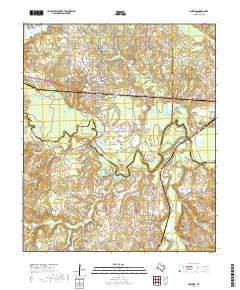
 2010 Winona2010 Print · USGSCovers Winona, including Tyler, Owentown, and other nearby areas
 - 2012 Map of Hawkins, 2012 Print
 2012 Hawkins2012 Print · USGSCovers Winona, including Big Sandy, Hawkins, and other nearby areas
 - 2012 Map of Winona, 2012 Print
 2012 Winona2012 Print · USGSCovers Winona, including Tyler, Owentown, and other nearby areas
 - 2016 Map of Winona, 2016 Print
 2016 Winona2016 Print · USGSCovers Winona, including Tyler, Owentown, and other nearby areas
 - 2016 Map of Hawkins, 2016 Print
 2016 Hawkins2016 Print · USGSCovers Winona, including Big Sandy, Hawkins, and other nearby areas
 - 2019 Map of Winona, 2019 Print
 2019 Winona2019 Print · USGSCovers Winona, including Tyler, Owentown, and other nearby areas
 - 2019 Map of Hawkins, 2019 Print
 2019 Hawkins2019 Print · USGSCovers Winona, including Big Sandy, Hawkins, and other nearby areas
 - 2022 Map of Winona, 2022 Print
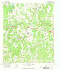
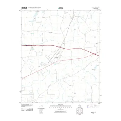
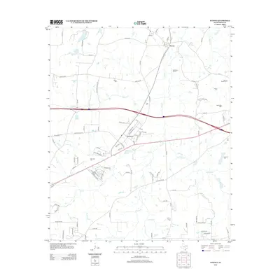
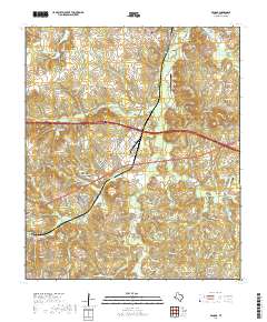
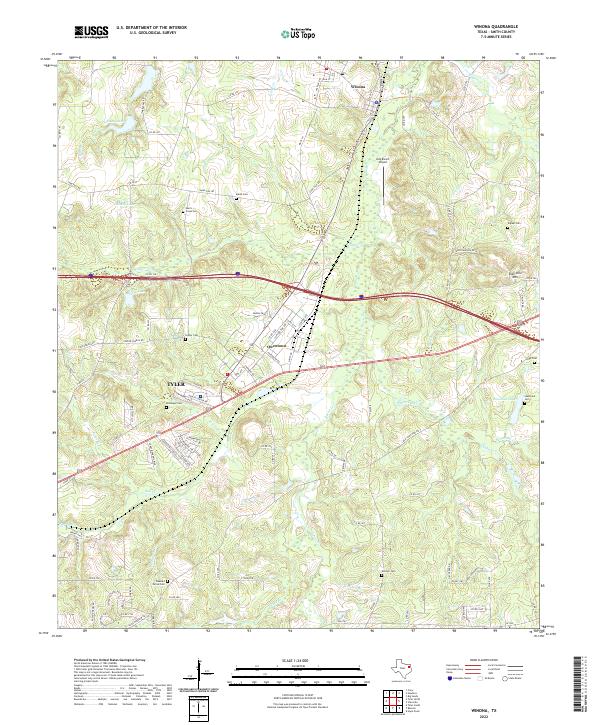 2022 Winona2022 Print · USGSNortheast Smith County is shown in detail during the early 2020s, centered on the growing corridor between TYLER and Winona. Family researchers can locate many local burial sites, including Marsh Cem, McDougal Cem, and Pleasant Grove Cem.
 - 2022 Map of Hawkins, 2022 Print
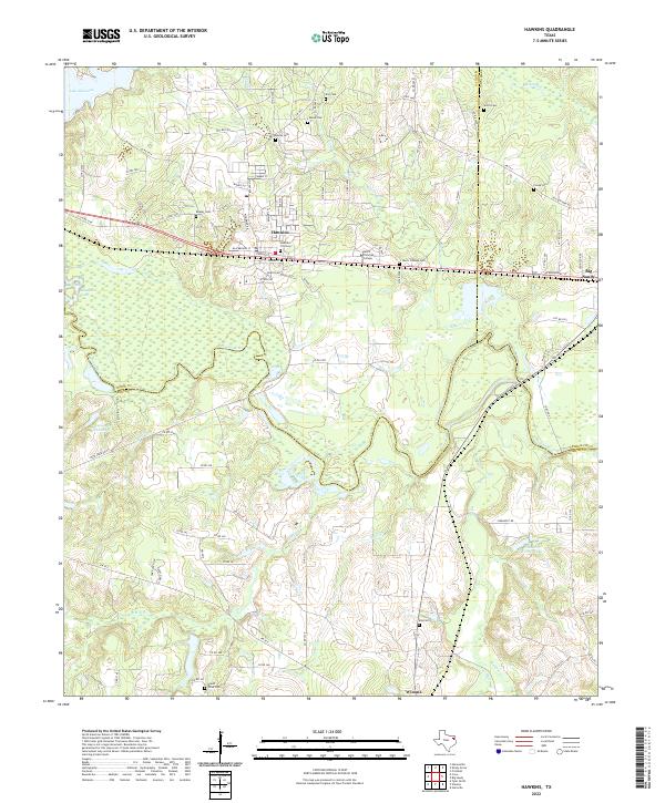 2022 Hawkins2022 Print · USGSEast Texas at the crossroads of Wood, Smith, and Upshur counties reveals a landscape shaped by the Sabine River and academic growth. Researchers can trace family sites at Jarvis Christian College Cem, Mount Olive Cem, and Fonda Cem.
End of results
Showing maps 1-20 of 20
Top cities near Winona
- Tyler historical maps
- Whitehouse historical maps
- Lindale historical maps
- Gladewater historical maps
- Gilmer historical maps
- Holly Lake Ranch historical maps
See more
Frequently asked questions
- What are the different types of historical maps available for Winona?
- What is the oldest map of Winona?
- Where can I purchase historical maps of Winona for my home or office?
- Where can I download high-res historical maps of Winona?
- Are there historical topographic maps available for Winona?
- Is there historical aerial imagery available for Winona?
- Where are historical maps of Winona sourced from?