
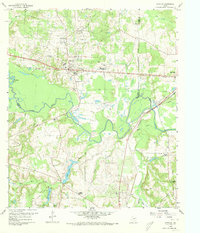
1960 Map of Hawkins
USGS Topo · Published 1961About this map
Hawkins Oil Field dominates the northern landscape of this East Texas survey, where dozens of oil wells and a dedicated Refinery signal the industrial intensity of the era. The town of Hawkins serves as a central hub, situated along the Texas and Pacific railroad and home to the Jarvis Christian College campus. The settlement pattern reflects a mix of institutional growth and rural resource extraction, evidenced by specialized schools like the Winona Industrial High Sch and workers' housing at Hawkins Camp.
Find a feature on this map
39 named features on this map. Tap any name to fly to it.
Don’t see what you’re looking for? This feature index may not catch every label — zoom into the map to look around manually.
Map Details
Editions of this 1960 Hawkins Map
3 editions found
Other maps of this area

1938 · Winona
USGS Topo · 1:48,000

1943 · Winona
USGS Topo · 1:62,500

1948 · Tyler
USGS Topo · 1:62,500

1949 · Tyler
USGS Topo · 1:62,500

1956 · Tyler
USGS Topo · 1:250,000

1960 · Shady Grove
USGS Topo · 1:24,000

1960 · Big Sandy
USGS Topo · 1:24,000

1960 · Pritchett
USGS Topo · 1:24,000

1960 · Hainesville
USGS Topo · 1:24,000

1960 · Crow
USGS Topo · 1:24,000