Old Maps of Eolian, Texas for Metal Detecting
Plan your next treasure hunt with 11 historic maps of Eolian. Find old homesites, ghost towns, trails, and gathering spots that may be lost to time — perfect for identifying promising metal detecting locations.
- Locate forgotten sites: Uncover places like long-lost settlements, abandoned rail lines, or gathering spots.
- Plan better hunts: Use map overlays combined with LiDAR or satellite views to narrow in on historically rich areas.
- Made for detectorists: Thousands of hobbyists use these maps to discover relics, coins, and hidden history.
Use these historic maps to boost your research and find new opportunities beneath the surface of Eolian.
Eolian, TX maps
(11)- 1892 Map of Albany
 1892 Albany1892 Print · USGSShackelford County in the late 1880s was a landscape of emerging rail lines and river outposts. Local historians can trace the early path of the Texas Central Railroad through Albany and locate early landmarks like Fort Griffen and Mankins Mill.
 - 1893 Map of Albany
 1893 Albany1893 Print · USGSShackelford County and the surrounding cattle country are captured in the late nineteenth century during the expansion of the Texas Central Railroad. Researchers can locate the frontier site of Fort Griffen, early schools like Shady Grove Ch., and the milling operations at Mankins Mill.5 unique versions available
 - 1954 Map of Abilene, 1966 Print
 1954 Abilene1966 Print · USGSThe Texas Big Country comes into focus in the mid-1950s as petroleum and new water projects reshape the landscape. Local historians can trace the Butterfield Trail, find the Fort Phantom Hill Ruins, and locate numerous small communities along the Texas & Pacific line.2 unique versions available
 - 1958 Map of Abilene
 1958 Abilene1958 Print · USGSMid-century West Texas comes alive in this survey of the Abilene and Stephenville region during a period of steady oil expansion and military growth. Genealogists and local historians can trace the paths of the Texas & Pacific RR through historic towns, locate the Fort Griffin Ruins, and find smaller settlements like Desdemona and Lueders.
 - 1961 Map of Eolian, 1962 Print
 1961 Eolian1962 Print · USGSStephens County ranching and oil country come into focus during the early sixties, just as modern water management began reshaping the local terrain. Genealogists and researchers can locate Mankins Mill (Site), Shady Grove Ch, and the Battle Creek Cem.3 unique versions available
 - 1985 Map of Stamford, 1992 Print
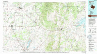 1985 Stamford1992 Print · USGSMid-century West Texas comes alive in this survey of the Brazos River country, showing a landscape defined by oil production and rail transport. Researchers can locate family landmarks like the Avoca Sch, New Hope Ch, and the frontier history at Fort Griffin State Park.
 - 2010 Map of Eolian, 2010 Print
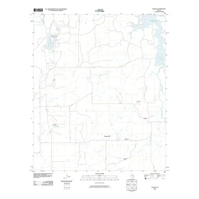 2010 Eolian2010 Print · USGSStephens County at the turn of the decade reveals a rural landscape defined by ranching, oil extraction, and localized water management. Researchers can trace ancestral sites at Shady Grove Cemetery or explore the history of the Ibex Oil Field and Mankins Mill.
 - 2012 Map of Eolian, 2012 Print
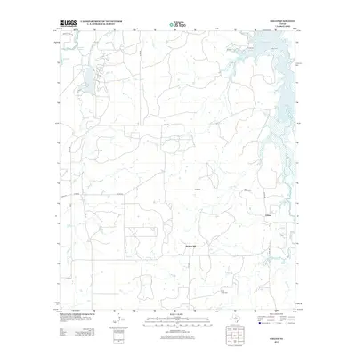 2012 Eolian2012 Print · USGSStephens County at the start of the twenty-first century reveals a landscape defined by ranching, oil extraction, and water reservoirs. Researchers can trace local heritage through sites like Mankins Mill, Ibex Oil Field, and the Plum Branch Cemetery.
 - 2016 Map of Eolian, 2016 Print
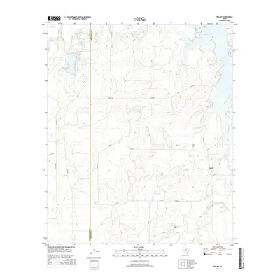 2016 Eolian2016 Print · USGSStephens County ranching country is shown here in the mid-2010s, centered on the small community of Eolian. Local historians can trace family burial sites at Plum Branch Cem or follow the waters of Hubbard Cr Reservoir.
 - 2019 Map of Eolian, 2019 Print
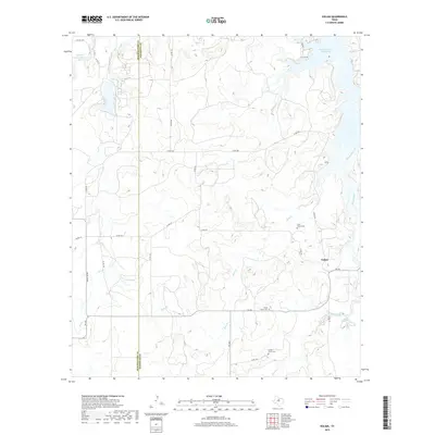 2019 Eolian2019 Print · USGSThe ranchlands of Stephens and Shackelford Counties are shown here in the late twenty-teens, centered on the community of Eolian. Researchers can trace rural cemetery locations such as Plum Branch Cem, Shady Grove Cem, and Battle Creek Cem among the many local creek branches.
 - 2022 Map of Eolian, 2022 Print
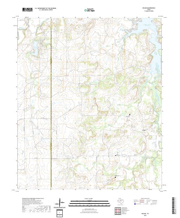 2022 Eolian2022 Print · USGSTexas ranchlands along the Shackelford and Stephens county line are captured here in the early twenty-first century. Researchers can trace local lineages through Plum Branch Cem and Shady Grove Cem or follow the banks of Big Sandy Creek.
End of results
Showing maps 1-11 of 11
Top cities near Eolian
Frequently asked questions
- What are the different types of historical maps available for Eolian?
- What is the oldest map of Eolian?
- Where can I purchase historical maps of Eolian for my home or office?
- Where can I download high-res historical maps of Eolian?
- Are there historical topographic maps available for Eolian?
- Is there historical aerial imagery available for Eolian?
- Where are historical maps of Eolian sourced from?