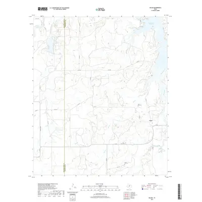
2019 Map of Eolian
USGS Topo · Published 2019About this map
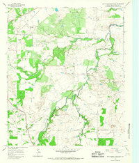
Eolian sits as the central settlement within this West Texas landscape, where the boundary between Shackelford Co and Stephens Co runs north-to-south. The area is defined by its extensive drainage network, feeding into the northern reaches of the Hubbard Creek Reservoir and Hubbard Cr Lake. The terrain is marked by seasonal branches and creeks, including the winding paths of Brushy Cr, Plum Br, and Big Sandy Creek.
Find a feature on this map
37 named features on this map. Tap any name to fly to it.
Don’t see what you’re looking for? This feature index may not catch every label — zoom into the map to look around manually.
Map Details
Editions of this 2019 Eolian Map
This is the sole edition of this map. No revisions or reprints were ever made.
Other maps of this area
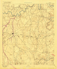
1890 · Breckenridge
USGS Topo · 1:125,000
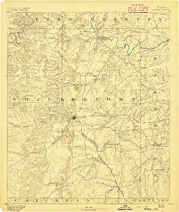
1892 · Albany
USGS Topo · 1:125,000
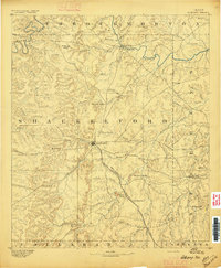
1893 · Albany
USGS Topo · 1:125,000

1954 · Abilene
USGS Topo · 1:250,000

1958 · Abilene
USGS Topo · 1:250,000
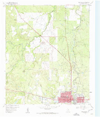
1958 · Breckenridge
USGS Topo · 1:24,000
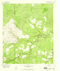
1958 · Edwards Branch
USGS Topo · 1:24,000
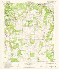
1961 · Buck Mountain
USGS Topo · 1:24,000
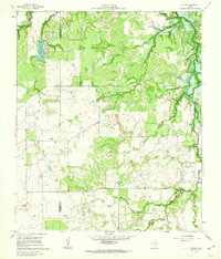
1961 · Eolian
USGS Topo · 1:24,000
1965 · McCatherine Mountain
USGS Topo · 1:24,000