
1965 Map of McCatherine Mountain
USGS Topo · Published 1967About this map
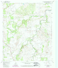
McCatherine Mountain and Flat Top anchor this landscape in rural Shackelford County during the mid-1960s, a period defined by the convergence of petroleum extraction and water management. The survey documents the expansion of the Hubbard Creek Reservoir at the northeastern corner, where Hubbard Creek and the Salt Prong Hubbard Creek converge. This area is heavily dotted with oil wells and drill holes, indicating the persistent industrial activity of the regional oil fields.
Find a feature on this map
24 named features on this map. Tap any name to fly to it.
Don’t see what you’re looking for? This feature index may not catch every label — zoom into the map to look around manually.
Map Details
Editions of this 1965 McCatherine Mountain Map
2 editions found
Other maps of this area

1892 · Albany
USGS Topo · 1:125,000

1893 · Albany
USGS Topo · 1:125,000

1954 · Abilene
USGS Topo · 1:250,000

1958 · Abilene
USGS Topo · 1:250,000

1958 · Edwards Branch
USGS Topo · 1:24,000

1961 · Eolian
USGS Topo · 1:24,000

1965 · Albany
USGS Topo · 1:24,000
1965 · Murphy Creek
USGS Topo · 1:24,000
1965 · Round Hill
USGS Topo · 1:24,000
1965 · Snyder Lake
USGS Topo · 1:24,000