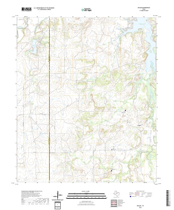
2022 Map of Eolian
USGS Topo · Published 2022About this map
The boundary between Shackelford and Stephens counties cuts through this section of the Texas Rolling Plains, where the rural settlement of Eolian stands as a focal point for the surrounding ranchlands. The landscape is defined by the drainage network of Hubbard Creek Reservoir and its numerous tributaries, including Plum Br and Battle Cr. These waterways have historically dictated the placement of roads and homesteads in an area where water management is visible through smaller impoundments like De La Fosse Lake and Elliot Lake. Local history is preserved in several rural burial grounds, including Plum Branch Cem, Shady Grove Cem, and Battle Creek Cem, which serve as quiet markers of the families who settled this territory along the ranch roads and farm-to-market routes like FM 576.
Find a feature on this map
40 named features on this map. Tap any name to fly to it.
Don’t see what you’re looking for? This feature index may not catch every label — zoom into the map to look around manually.
Map Details
Editions of this 2022 Eolian Map
This is the sole edition of this map. No revisions or reprints were ever made.
Other maps of this area

1890 · Breckenridge
USGS Topo · 1:125,000

1892 · Albany
USGS Topo · 1:125,000

1893 · Albany
USGS Topo · 1:125,000

1954 · Abilene
USGS Topo · 1:250,000

1958 · Abilene
USGS Topo · 1:250,000

1958 · Breckenridge
USGS Topo · 1:24,000

1958 · Edwards Branch
USGS Topo · 1:24,000

1961 · Buck Mountain
USGS Topo · 1:24,000

1961 · Eolian
USGS Topo · 1:24,000

1965 · McCatherine Mountain
USGS Topo · 1:24,000