Old Maps of Two F Crossing, Texas for Academic Research
Study the evolution of Two F Crossing with 8 high-resolution historic maps. Whether you're teaching, researching, or modeling changes in land use, these maps provide essential visual documentation of urban, environmental, and geographic change.
- Analyze long-term change: Track patterns in development, transportation, and natural features.
- Ideal for environmental or urban studies: Support academic projects with primary historical map data.
- Use in the classroom or lab: Educators and researchers rely on these maps to bring historical context to life.
These maps are a powerful tool for teaching, research, and visualizing how Two F Crossing has changed over the decades.
Two F Crossing, TX maps
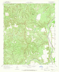
(8)- 1954 Map of Lubbock, 1958 Print
 1954 Lubbock1958 Print · USGSThe High Plains and Caprock region of West Texas come alive in the mid-1950s, showing a landscape defined by oil discovery and the Brazos River headwaters. Genealogists and historians can trace rail-connected towns like Roaring Springs, find the Pleasant Valley church, or locate family-named landmarks such as Soldier Mound.4 unique versions available
 - 1962 Map of Kiowa Peak, 1966 Print
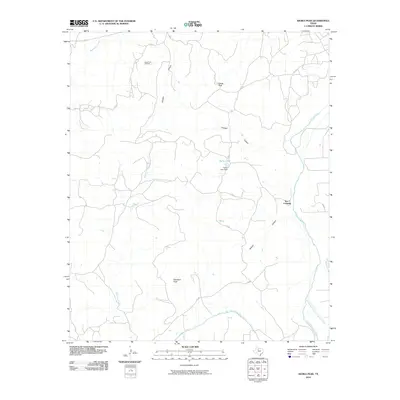
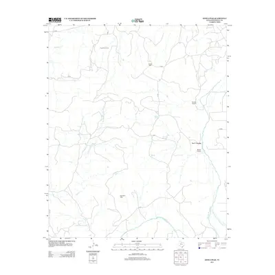
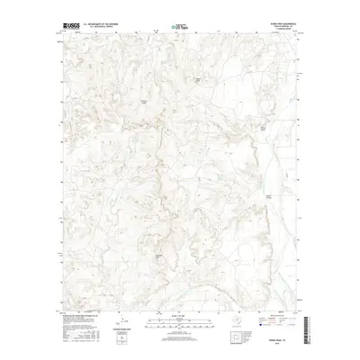
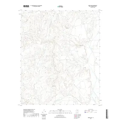
 1962 Kiowa Peak1966 Print · USGSStonewall County at the start of the sixties shows a landscape defined by the meeting of major river forks. You can trace the confluence of the Double Mountain Fork and Salt Fork Brazos River near landmarks like Kiowa Peak and Two F Crossing.2 unique versions available
 - 1985 Map of Aspermont, 1994 Print
 1985 Aspermont1994 Print · USGSStonewall and Kent counties are shown in the mid-1980s as the river-cut plains of West Texas supported scattered ranching and oil communities. Genealogists and historians can trace the Railroad Grade and locate smaller locales like Old Glory and Girard.
 - 2010 Map of Kiowa Peak, 2010 Print
 2010 Kiowa Peak2010 Print · USGSCovers Two F Crossing, including Stonewall County, United States, and other nearby areas
 - 2012 Map of Kiowa Peak, 2012 Print
 2012 Kiowa Peak2012 Print · USGSCovers Two F Crossing, including Stonewall County, United States, and other nearby areas
 - 2016 Map of Kiowa Peak, 2016 Print
 2016 Kiowa Peak2016 Print · USGSCovers Two F Crossing, including Stonewall County, United States, and other nearby areas
 - 2019 Map of Kiowa Peak, 2019 Print
 2019 Kiowa Peak2019 Print · USGSCovers Two F Crossing, including Stonewall County, United States, and other nearby areas
 - 2022 Map of Kiowa Peak, 2022 Print
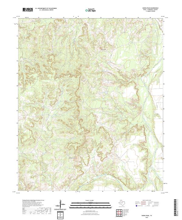 2022 Kiowa Peak2022 Print · USGSStonewall County at the start of the 2020s remains a landscape defined by the dramatic confluence of the Brazos River forks. Local historians can trace the rugged topography around Kiowa Peak and Davidson Peak or locate water sources like Beaver Springs.
End of results
Showing maps 1-8 of 8
Top cities near Two F Crossing
- Stamford historical maps
- Knox City historical maps
- Aspermont historical maps
- Rule historical maps
- Rochester historical maps
- O'Brien historical maps
Frequently asked questions
- What are the different types of historical maps available for Two F Crossing?
- What is the oldest map of Two F Crossing?
- Where can I purchase historical maps of Two F Crossing for my home or office?
- Where can I download high-res historical maps of Two F Crossing?
- Are there historical topographic maps available for Two F Crossing?
- Is there historical aerial imagery available for Two F Crossing?
- Where are historical maps of Two F Crossing sourced from?