2000s (21st Century) Maps of North Richland Hills, Texas
Explore 15 historic maps of North Richland Hills from the 2000s (21st Century). These maps offer a rare glimpse into what life looked like during the 2000s — showing old roads, neighborhoods, homes, and landmarks that have changed or disappeared over time.
Whether you're researching your family's past, planning a metal detecting trip, or studying how North Richland Hills's landscape evolved across the 2000s, these high-resolution maps are a powerful tool for exploring the history of this region.
- Focus on a specific era: All maps on this page are from the 2000s, giving you a focused view of this time period.
- See what’s changed: Compare century-old streets, trails, and buildings to today's modern landscape using overlays and satellite layers.
- Research with precision: Use these maps for genealogy, historical research, land use analysis, or educational projects.
- View, download, or print: Maps are fully viewable online in high resolution, and can be downloaded or printed for your own records.
Start exploring North Richland Hills's history through authentic maps from the 2000s. This is your window into the past.
North Richland Hills, TX maps
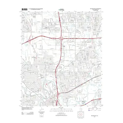
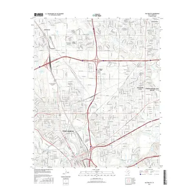
(15)- 2010 Map of Hurst, 2010 Print
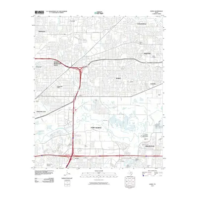 2010 Hurst2010 Print · USGSCovers North Richland Hills, including Fort Worth, Arlington, and other nearby areas
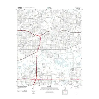
 - 2010 Map of Haltom City, 2010 Print
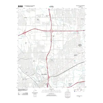 2010 Haltom City2010 Print · USGSCovers North Richland Hills, including Fort Worth, Haltom City, and other nearby areas
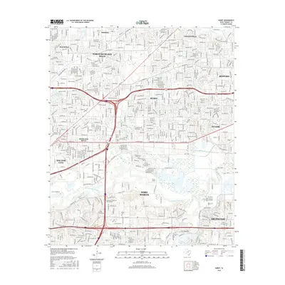
 - 2010 Map of Colleyville, 2010 Print
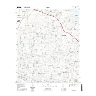
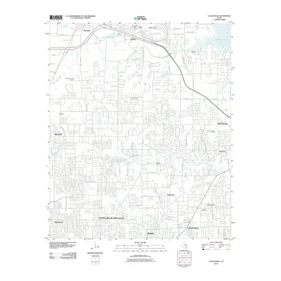 2010 Colleyville2010 Print · USGSCovers North Richland Hills, including Fort Worth, Grapevine, and other nearby areas
 - 2012 Map of Colleyville, 2012 Print
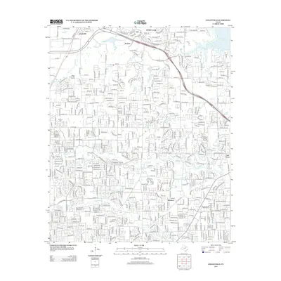 2012 Colleyville2012 Print · USGSCovers North Richland Hills, including Fort Worth, Grapevine, and other nearby areas
 - 2012 Map of Haltom City, 2012 Print
 2012 Haltom City2012 Print · USGSCovers North Richland Hills, including Fort Worth, Haltom City, and other nearby areas
 - 2012 Map of Hurst, 2012 Print
 2012 Hurst2012 Print · USGSCovers North Richland Hills, including Fort Worth, Arlington, and other nearby areas
 - 2016 Map of Hurst, 2016 Print
 2016 Hurst2016 Print · USGSCovers North Richland Hills, including Fort Worth, Arlington, and other nearby areas
 - 2016 Map of Haltom City, 2016 Print
 2016 Haltom City2016 Print · USGSCovers North Richland Hills, including Fort Worth, Haltom City, and other nearby areas
 - 2016 Map of Colleyville, 2016 Print
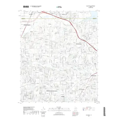
 2016 Colleyville2016 Print · USGSCovers North Richland Hills, including Fort Worth, Grapevine, and other nearby areas
 - 2019 Map of Haltom City, 2019 Print
 2019 Haltom City2019 Print · USGSCovers North Richland Hills, including Fort Worth, Haltom City, and other nearby areas
 - 2019 Map of Hurst, 2019 Print
 2019 Hurst2019 Print · USGSCovers North Richland Hills, including Fort Worth, Arlington, and other nearby areas
 - 2019 Map of Colleyville, 2019 Print
 2019 Colleyville2019 Print · USGSCovers North Richland Hills, including Fort Worth, Grapevine, and other nearby areas
 - 2022 Map of Hurst, 2022 Print
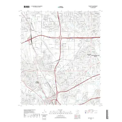
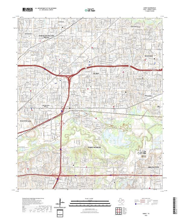 2022 Hurst2022 Print · USGSTarrant County's Mid-Cities are shown in their modern suburban form as the Dallas-Fort Worth metroplex expanded. Local historians can trace old landmarks like Smithfield, the Fuller Airport, and numerous family burial grounds including Isham Cem.
 - 2022 Map of Colleyville, 2022 Print
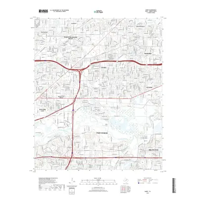
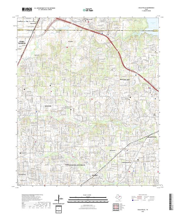 2022 Colleyville2022 Print · USGSNortheast Tarrant County is shown in its modern suburban form, where the growing cities of the Dallas-Fort Worth metroplex meet historical landmarks. Genealogists can trace family sites at Bluebonnet Hills Memorial Park or locate the storied Lonesome Dove Cem near Grapevine Lake.
 - 2022 Map of Haltom City, 2022 Print
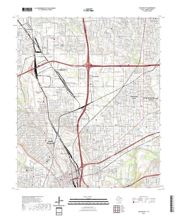 2022 Haltom City2022 Print · USGSThe northern reaches of the Dallas-Fort Worth metroplex are captured here in the early twenty-first century as suburban growth surrounds the historic river forks. Genealogists and local historians can locate several major burial sites, including Mount Olivet Cemetery and Peoples Burial Park, alongside the runways of Meacham International Airport.
End of results
Showing maps 1-15 of 15
Top cities near North Richland Hills
- Dallas historical maps
- Fort Worth historical maps
- Arlington historical maps
- Irving historical maps
- Grand Prairie historical maps
- Lewisville historical maps
See more
Frequently asked questions
- What are the different types of historical maps available for North Richland Hills?
- What is the oldest map of North Richland Hills?
- Where can I purchase historical maps of North Richland Hills for my home or office?
- Where can I download high-res historical maps of North Richland Hills?
- Are there historical topographic maps available for North Richland Hills?
- Is there historical aerial imagery available for North Richland Hills?
- Where are historical maps of North Richland Hills sourced from?